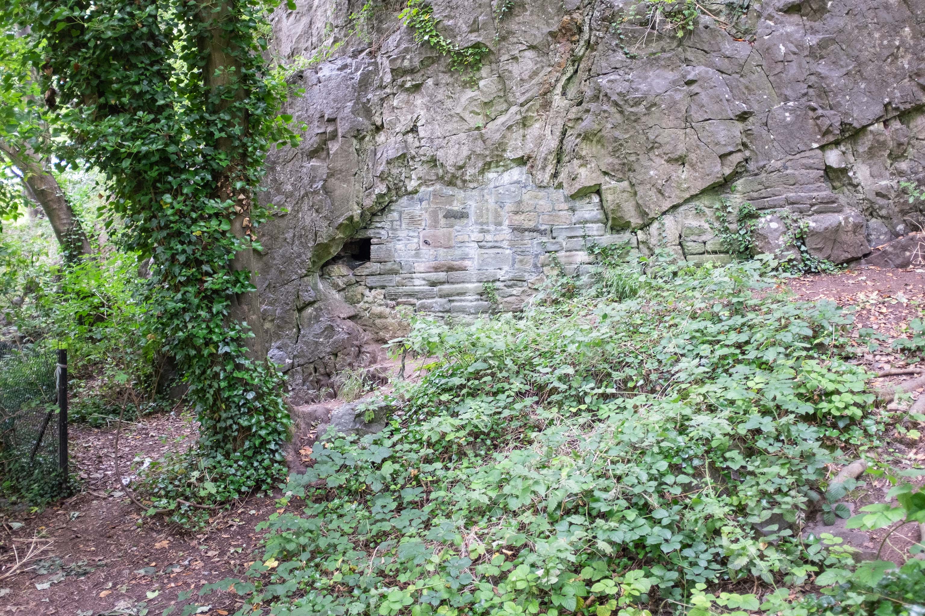
From an Avon Gorge Geology Excursion Guide I dug up:
Just south of the Observatory, on the right of the path is a children’s playground [ST 5667 7325] in the remains of a limestone quarry. In the back wall is a bricked-up adit, presumably representing the entrance to a former iron ore or lead mine (Fig. 10C). The roof of the adit is fissured and sparry, crystalline calcite can be seen in fissures.
The playground itself is in one of the the quarries used for the Suspension Bridge materials.
Taken: Mon 30 August 2021 14:38
Rating: ★★
GPS Coordinates:
51.45669, -2.62511
Neighbourhood: Clifton Village
Street: Observatory Road
