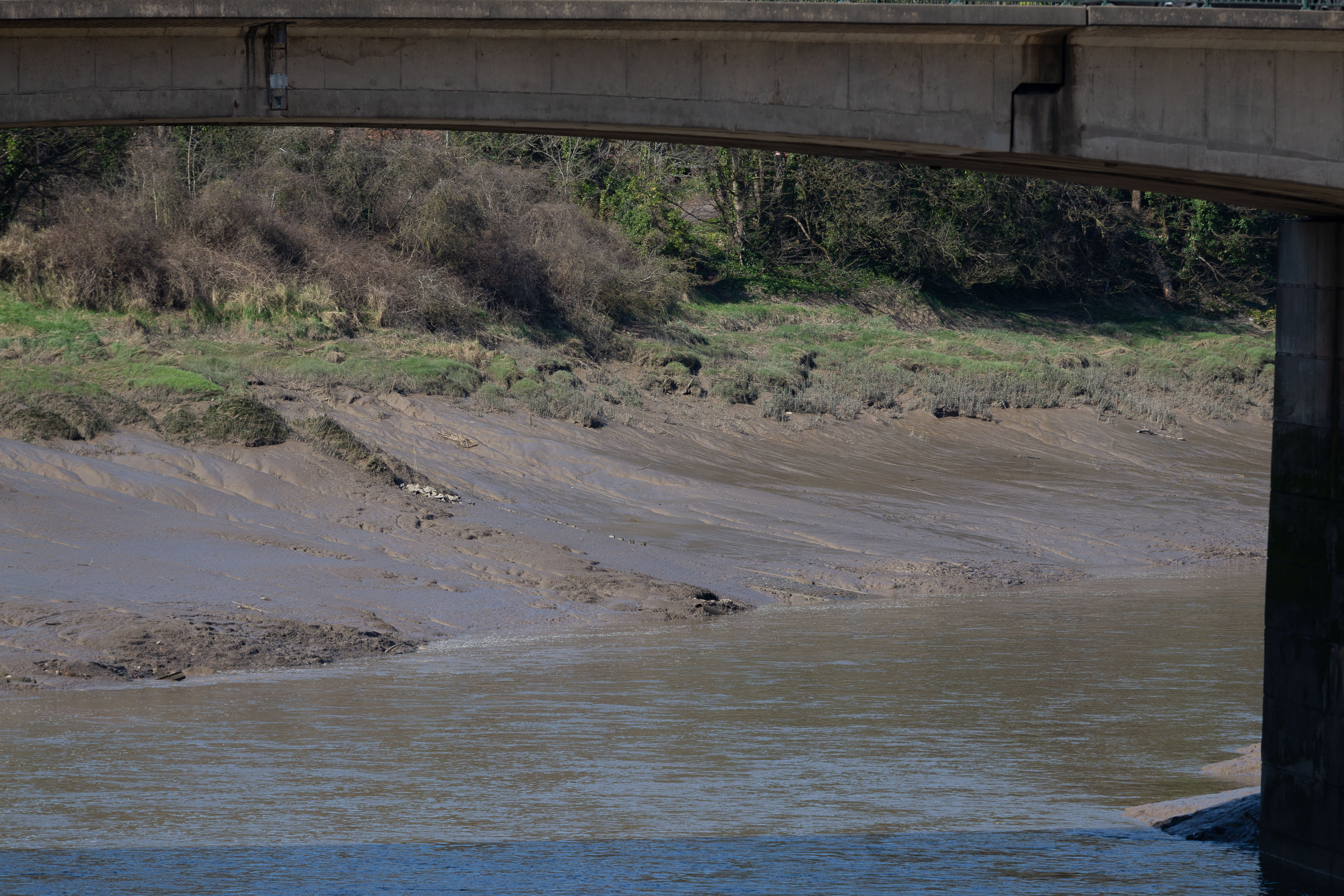
Again, the slipway is easy to miss. I like these little barely-visible curiosities that hide such heritage. The site of the crossing moved around—it's fairly obvious it wasn't right here in the 12th century, for example, because the river was only diverted into the New Cut, which the ferry crosses here, in the early 1800s. Earlier it was further downstream.
From wander: Bedminster Trip, with a Little Historic Diversion
Taken: Sun 20 March 2022 12:29
Rating: ★★
Taken: Sun 20 March 2022 12:29
Rating: ★★
GPS Coordinates:
51.44607, -2.62203
Neighbourhood: Cumberland Basin
