Tagged: bank
Recreating a Loxton Drawing on a Lunchtime Jaunt
05 Nov 2021
I did do a much longer wander earlier in the week, but that'll take me some time to process (and cast a plethora of photos into the "out-takes" pile!) In the meantime, here's my lunchtime jaunt, taken to give myself a break from doing the company bookkeeping to send to my accountant so the taxman doesn't sling me in chokey.
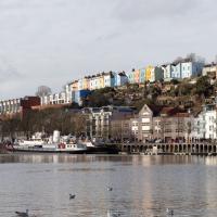
I've recently bought a slightly creased secondhand copy of Redcliffe Press's 1992 collection of Samuel Loxton drawings, Loxton's Bristol: The city's Edwardian years in black and white. It's a nice selection of Bristol Library's collection of the drawings. I'd noticed a drawing of 25 Royal York Crescent, a house I pass quite often, so I thought I'd wander up the crescent on the way to pick up some lunch and try to reproduce it.
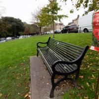
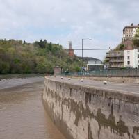
On the way back I took a few photos of Clifton Hill Bank as the crowdfunder to make quite a lot of it into a wildflower meadow has just hit its target, so I figured some "before" shots might be a good investment for the future...
The crowdfunding effort has blown past its original £1400 target and stands at £1775 so far. The original target was to cover:
- £300 for wildflower seed to sow in the next few weeks
- £100 for non-plastic signage explaining what’s happening – crucial for public support
- £1,000 for plug plants to go in next spring
They also say that most of the existing popular daffodils will stay, which is nice, as that was my favourite spring feature of the bank.
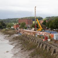
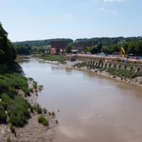
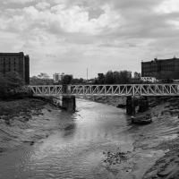
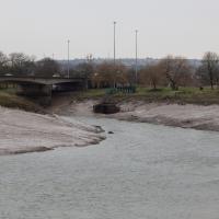
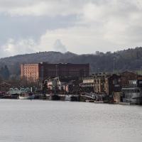
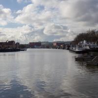
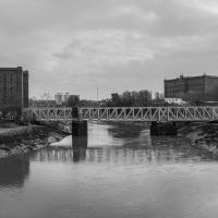
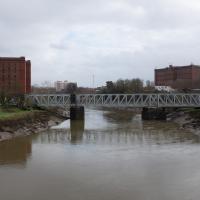
I'm in the habit of going over to the Tobacco Factory Market on a Sunday. I think I've walked all the routes around that way, but as a Plimsoll Bridge swing let me cross the road to the far side of Brunel Way on my return journey and I took a couple of photos of the brownfield development at the old Ashton Gate Depot site I thought I'd call it a Wander and pop some photos up.
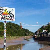
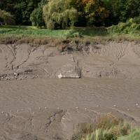
"STEEP DROP INTO MUD AND FAST FLOWING WATER".
This sign has been mildly annoying photographers since it was put up, getting a bit in the way of several alternative views from this bit of land. I presume it was installed in response to some kind of accident, but I'd hazard a guess that whatever difficulties someone got into probably wouldn't have been prevented by a sign that stated the completely bloody obvious.
I recently indulged myself by buying a little piece of history. I've mentioned Samuel Loxton and featured and linked to his drawings before, often in the eminently browsable Loxton Collection albums that Bristol Libraries has on Flickr. So when I saw a Loxton drawing of Hotwells pop up on eBay, I decided to get myself a little treat.
I don't think there's any Loxton drawing that features the road I actually live in—it's not very visible from anywhere else, not being one of these Clifton terraces that's perched at the top of a hill, or anything like that, and it's invisible in most views of the area. However, this Loxton drawing, Hotwells, Looking across the river from near the Clifton Bridge station, is probably the closest near-miss I've seen.
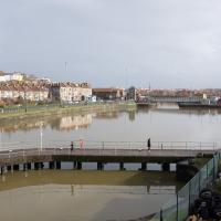
I decided to wander out one morning and see if I could reproduce the picture, and also take a photo or two of what's now become of the Clifton Bridge Station, which is still just about discernible in places.
(Then on an even stranger whim I decided to check out a possible little cut-through from Cumberland Road to the harbourside I'd been eyeing up on my commute to work, so walked to Wapping Wharf for a croissant via this potential new route, but that bit's not quite as interesting...)
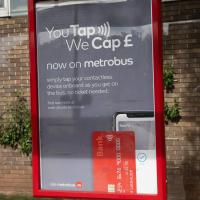
I don't actually know what "we cap £" means. I do know that it always seemed irritating that the Metrobus worked by having to buy a ticket in advance at fiddly little machines next to the stops, and that being able to just buy a ticket by tapping a card once you were on the bus would seem wildly futuristic if I hadn't had a Oyster card decades ago in London...
Having just tried to read the 2,500-ish word explanation of Tap & Cap, I'm still not sure exactly how to use it, but hopefully it at least means that Bristol bus drivers will no longer swear at you if you don't happen to have exactly the right change sorted out in advance...
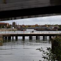
Every now and again some speedboat pops under Merchants Road Bridge and does a few quick loops of the Cumberland Basin. I guess that either they're allowed to go fast on the basin or they know they can get away with it...
Site of the Rownham Ferry. Follow the link for a charming Loxton ink drawing on Know Your Place, also viewable at the Bristol Libraries Flickr collection.
This was a later site for the ferry, which earlier was a tad further out along the river. It would have been a key crossing point at this end of Bristol before the arrival of any bridges near here. Before the Ashton Swing Bridge and the Vauxhall footbridge arrived, the next-nearest crossing point would have been the Vauxhall ferry, which was where Vauxhaull Bridge stands now, I think.
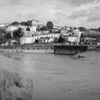
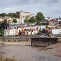
I think this was about my best attempt to match the Loxton angle. The fact that my photo still has the edge of Entrance Lock in it suggests that Loxton's drawing was taken from a little further downstream, but there are trees there now, obscuring the view.
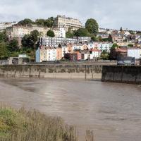
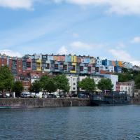
Much of the buildings further back are unchanged, as you can see, especially Windsor Terrace to the left and The Paragon middle top. The diagonal rise of Freeland Place is still there, too. What's mostly changed is the closer road, where a chunk of Hotwells, including the houses and Cumberland Hall you can see in the Loxton drawing, was swept away for the Cumberland Road flyover system. This probably also explains why there aren't so many pedestrians just enjoying the scenery—it's much noisier there now.
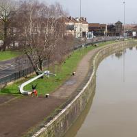
Here's a similar angle to my earlier attempt at recreating the Loxton view, only with a framing that gives a bit more detail of the buildings.
Hurrah! Cumberland Road is fully closed again, this time apparently for stabilisation works on the Chocolate Path, one of my favourite footpaths in Bristol, whcih has been closed since even before part of it actually fell into the river.
That there is an actual plan to re-open the path, that it's got funding, and that work is being done are all good signs, but I'm still trying not to hold my breath. This path's been closed since 2016. (And the entire new cut didn't take this long to dig in the first place...)
Pastures New!
17 Jul 2021
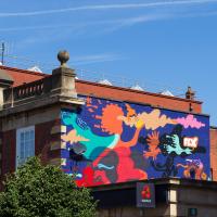
Okay, not much in the way of actual pasture to be had in Bedminster these days, like most of Bristol, but I did take advantage of the current rather toasty weather in Bristol to go and sit under a tree in Greville Smyth Park to read a book for a while before firing up the GPS and taking a little detour around some back streets of Ashton and Bedminster rather than going straight to Coffee #1 for an espresso frappé. This is the first walk in a while where I've actually crossed off an entire new street (the frankly unexciting Carrington Road) as well as exploring a couple of back alleys, just because they were there, really. Along the way I spotted a few examples of graffiti of various qualities, including a live work-in-progress by SNUB23 on Ashton Road and the finished Six Sisters project on North Street.
They've not made much progress on repairing the Chocolate Path, sadly, but it seems they've at least got a budget and a green light now.
The entire New Cut only took five years to dig out, but on the other hand they had literally a thousand men on the job and I imagine several of them died. Probably have to be a bit more careful these days.
Autonomous Vehicle
14 Jul 2021
As it turned out, I didn't manage to get a coffee on my lunchtime coffee trip, as Imagine That were briefly shut down by a Covid-19 exposure notification (false alarm, it seems.) On the plus side, my trip was made worthwhile by spotting a couple of people from the University of Bath Mechanical Engineering Department testing an autonomous body-finding catamaran, which isn't a phrase I was ever expecting to write...
Shops, Hedgehogs and Cows
06 Jul 2021
I really only took the GPS and camera on a "just in case" basis, as I knew I was only going for a coffee in Greville Smyth Park along a well-trodden path this lunchtime. Still, I saw a few new things along the way, so I figured it was worth uploading the handful of photos I took...
Howard's Lock
27 Apr 2021
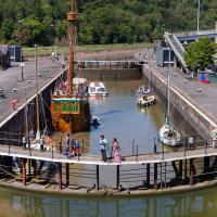
Bits of Entrance Lock have been coned off for ages, mostly the area with the lockkeepers' house on it. My friends Sarah and Vik mentioned at the weekend that it had recently been un-coned, so I wandered that way to cross the outermost lockgates for the first time this year. I don't know whether it's just my mood today or the weather, but it seemed a day for pushing a couple of photos in a more experimental direction in the post-processing...
Brief Jaunt to the not-so-Hot Well
13 Feb 2021
It's been very cold the last few days, so seeing as it was low tide at a convenient afternoon hour, I just wandered out to see if I could see the hot well steaming. I've been told that you sometimes can, on a cold day, but today, as with every other day I've tried, there was nothing in evidence.
It may be that the emergent spring has already filtered through too much cold river silt by the time it hits the surface these days, or even that it's running cooler than it used to. But perhaps I've just been unlucky.
In Between
06 Feb 2021
A lovely walk in the early spring sunshine with my friend Lisa. We headed directly for Jacobs Wells Road, to start off around the scene of one of our earlier walks, but this time took in Jacobs Wells from QEH upward, stopping to snap some photos of a Bear With Me, some interesting areas between Park Street and Brandon Hill including a peculiarly quiet enclave with a ruined old build I'd never found before, then crossed the Centre to grab take-away pies from Pieminister (I had the Heidi Pie) and head back to my place down the harbourside.
Greville Smyth Path Completionism
02 Feb 2021
I needed to get away from my desk at lunchtime, and I saw a little segment of path in Greville Smyth Park that needed knocking off my "to walk down" list, so that gave me a target. Sadly Hopper Coffee's little Piaggio Ape wasn't there to sell me a coffee. I hope Rich is all right, not seen him so far this year.
Anyway, a fairly uneventful walk. They're putting new boundary fencing up around Hotwell Primary School (I wandered down Albermarle Row to see what the pneumatic drilling was about), the house on Granby Hill that's been covered in scaffolding and swaddled in protective sheeting has finally been revealed in its cleaned and refurbished form, and they were doing something to the flyover that leads up from the end of the Portway/Hotwell Road to the Plimsoll Bridge. Nothing much else to report.
