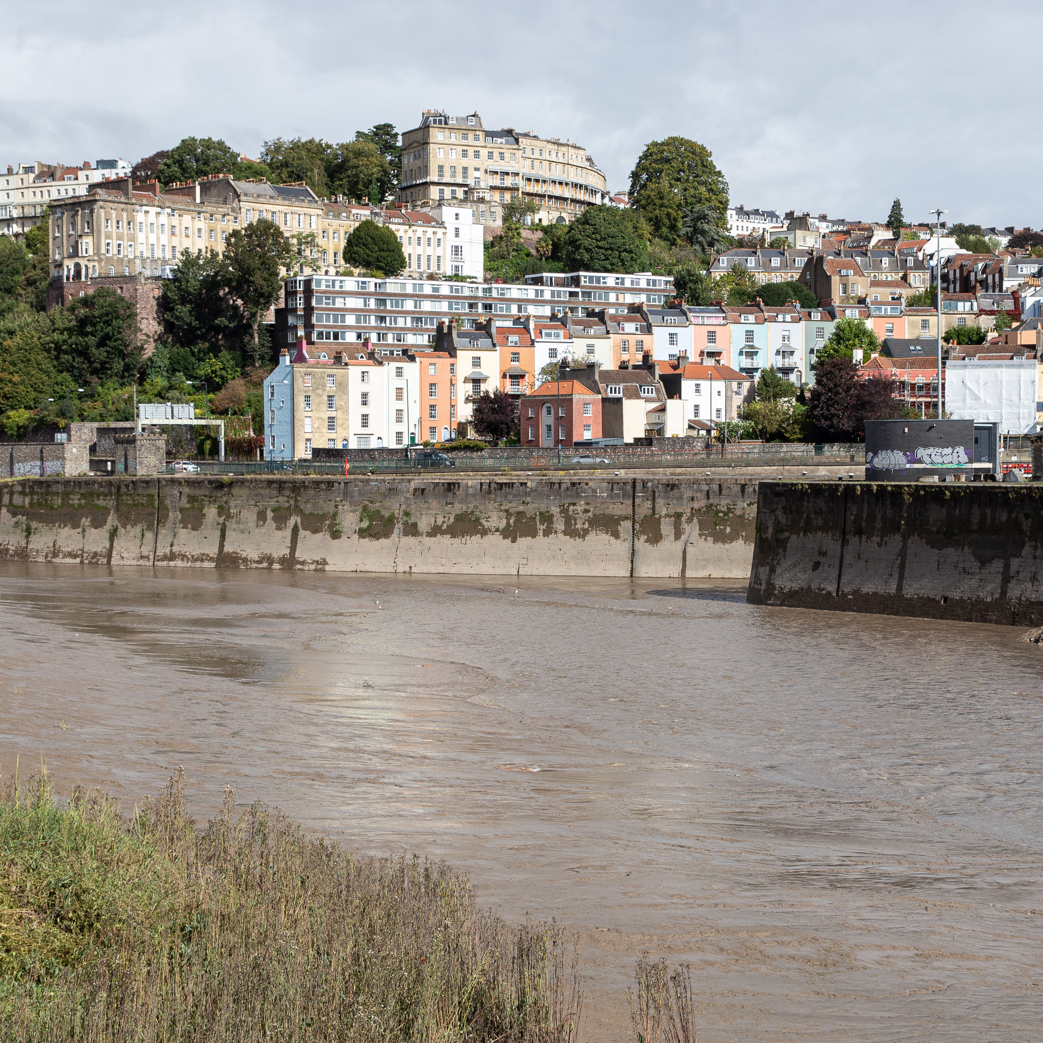
I think this was about my best attempt to match the Loxton angle. The fact that my photo still has the edge of Entrance Lock in it suggests that Loxton's drawing was taken from a little further downstream, but there are trees there now, obscuring the view.
Much of the buildings further back are unchanged, as you can see, especially Windsor Terrace to the left and The Paragon middle top. The diagonal rise of Freeland Place is still there, too. What's mostly changed is the closer road, where a chunk of Hotwells, including the houses and Cumberland Hall you can see in the Loxton drawing, was swept away for the Cumberland Road flyover system. This probably also explains why there aren't so many pedestrians just enjoying the scenery—it's much noisier there now.
Taken: Sun 3 October 2021 12:00
Rating: ★★★
GPS Coordinates:
51.44860, -2.62586
Neighbourhood: Hotwells