Tagged: river
A Cliftonwood Revisit with Lisa
10 Jul 2021
Lisa had a couple of hours to spare before going up in a hot air balloon (exciting!) so we went for a quick local walk, revisiting a bit of Cliftonwood we've seen before, exploring the secret garden I'd visited before that I thought she'd enjoy (I didn't take any new photos there) and then pushing on to another garden, Cherry Garden. Last time we passed this way, I'd noticed the gate, but we hadn't gone in as I'd assumed it was private. I'd since found it on CHIS's list of communal gardens in Clifton, so I wanted to have a look inside this time, and try to figure out whether it was private-communal or public, and possibly Council-owned, like several of the other gardens in Clifton.
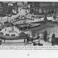
Photo taken from the book Bygone Bristol: Hotwells and the City Docks, by Janet and Derek Fisher.
You can see the gate from the previous photo at the start of Narrow Quay. Plenty of other changes in the area, too: the statue of Neptune stands at the head of the water; there are no Cascade Steps yet; cranes still stand on Broad Quay, and you can just about tell that there's still a main road running right across the middle of Queen Square in the distance.
The gate stands half-closed; presumably before the E and W sheds were converted into the cinemas, bars and restaurants of the Watershed and other publically-accessible attractions there was still some need to keep the (working) dockside a little more secure, and I'm guessing it might have been locked at night.
The gates are listed and have apparently been there since 1894.
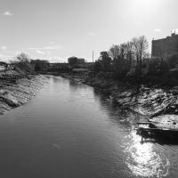
I mostly went out to hang out with my friends Sarah and Vik in Bedminster, but along the way I thought I'd take a closer look at something a little nearer home: the last crossing point of the Rownham Ferry.
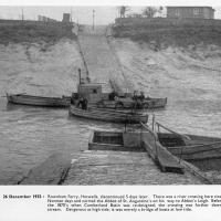
And here's the picture that inspired this little local visit today. A week or so back I was browsing the boxes of books at Rachel's and Michael's Antiques on Princess VIctoria Street, and flipping through their collection of Reece Winstone books. Winstone's famous Bristol As It Was series are an amazing documentary source created by a man who loved both photography and Bristol and effectively became Bristol's foremost documentary photographer for decades. A lot more of Bristol's history is visible today because of him.
In the Bristol As It Was 1939 - 1914 book I saw this picture of the Rownham Ferry. Unfortunately the book was a first edition and priced at £20, so I ordered a cheaper edition from an independent dealer in Stockport when I got home! (Let's consider that as me leaving the rare first edition for the true connoisseurs, rather than just being cheap.)
Here we see the ferry just five days before its closure on the last day of 1932. Looking closely, it seems to be perhaps operating as a reaction ferry, with the boat tethered to a static line across the river, and the ferryman using the rudder to turn the boat and use the power of the flowing water to shuttle the boat from side to side. Clever!
Photo © Reece Winstone Archive. (I recommend buying the books if you like old photos of Bristol. They're amazing!)
Leigh Woods Purple Path
12 Mar 2022
There's a few tracks in Leigh Woods that lie within my mile and show up on my map but that I've not walked yet, so I decided to take one of my traditional big long walks through the woods on this nice crisp sunny morning.
For years—decades, even—I've been doing a similar route from my place, along the towpath to the far woods entrance, up the hill for a varied walk on one of the marked tracks and then across the Suspension Bridge to Clifton Village for a coffee-based reward. It's my default "long walk", really, and I almost always enjoy it. Today, at last, spring actually seemed to be springing, which made for some extra positivity...
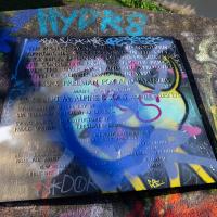
"Swing bridge machinery by Sir William Arrol & Co. Ltd": Sir William was knighted for his commitment to his work on both the Forth Bridge and the replacement Tay Bridge, erected following the loss of the previous bridge in the great Tay Bridge Disaster. He was also responsible for knocking up some other little bridges around the country, like london's Tower Bridge, to pick an example...
My friend Sarah made a podcast episode about Sylvia Crowe (credited bottom right on the plaque) and her development of the landscape in this area, with Wendy Tippett, a local landscape architect. It's a great listen if you're familiar with the area, and explains all sorts of things, including the PPILA after Sylvia Crowe's name on the plaque: Past President, Institute of Landscape Artists.
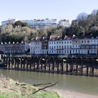
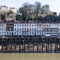
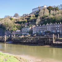
I've always enjoyed the optical illusion that these houses are on stilts from this angle. In fact there's the Hotwell Road the National Express coach is on in between the houses at the back and the disused landing stage at the front, as you'll see in the next pic of the adjacent terrace.
The Campbell Brothers' White Funnel Fleet operated from the Hotwells landing stage up until relatively recently. Last week I bought an old timetable on eBay and popped it up on my blog for anyone who might be interested.
In 1965, the year of the timetable, there were regular sailings from here along the coast or over to Wales. You could go to Ilfracombe and Lundy Island, or head across to Barry, Penarth or Cardiff. All from within five minutes' walk of my front door.
The towpath is a lovely stroll in weather like this. Waterproof walking shoes help, though, as the puddles are often wide enough to span the entire width. I baptised my new walking shoes on this trip.
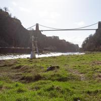
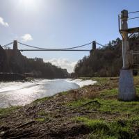
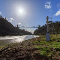
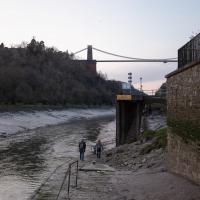
This is probably the most popular spot to take photos of the bridge from this direction. I'd guess the large majority of photos of the Suspension Bridge are taken from the other side.
Harbour Circumnavigation
01 Mar 2021
Normally I don't have enough time in my lunch hour to get all the way around the harbourside. This is a shame, as Wapping Wharf is a great place to get coffee and a snack, but it's pretty much diametrically (perimetrically?) opposite me on the harbour. Today I had the day off, so I decided to go and knock off a few streets around Anchor Road that I'd not covered, as well as visiting the site of the Read Dispensary (well, one of them) and dropping into Mokoko for one of their astounding almond croissants. From there I came back along the south side, checking out the views from as much of the Chocolate Path as you can venture down at the moment, and swapping from Cumberland Road to Coronation Road at Vauxhall Bridge.
There's a lot of meh photos on this walk—my chief output from this project could be politely described as "record shots"—but a few turned out well, especially those of Vauxhall Bridge from the Chocolate Path, which reminded me how much of a loss the current closure of the Chocolate Path is to walkers and cyclists in Bristol.
This is why the Chocolate Path is so missed now it's out of action. A pedestrian route through the middle of a city that's this pretty is a real boon.
The path was closed following part of the New Cut wall collapsing in 2017. It's still closed, and repair work is still going on. To put that into some interesting historical perspective, the entire New Cut was created between 1904 and 1909. All two miles of it. Okay, so they had a thousand or so navvies on the job, but I still find it an interesting comparison :)
I wasn't going to take a very long walk on this nice spring evening; it just happened. I was going to knock off a path or two on Brandon Hill, home over centuries to hermits and windmills, cannons and Chartists, and then just wander home, stopping only to fill up my milk bottle at the vending machine in the Pump House car park.
However, when I heard a distant gas burner I stayed on the hill long enough to see if I could get a decent photo of both the hot air balloon drifting over with Cabot Tower in the same frame (spoiler: I couldn't. And only having the fixed-focal-length Fuji with me didn't help) and then, on the way home, bumped into my "support bubble", Sarah and Vik, and extended my walk even further do creep carefully down the slipway next to the old paddle steamer landing stage and get some photos from its furthest extreme during a very low tide...
Since setting up a search for Hotwells on eBay I've mostly managed to restrain myself from buying much (or in one case, was outbid, luckily for my finances.) However, I couldn't resist a 1902 flyer for a singalong at the Terrett Memorial Hall, which would have stood five minutes' walk from my flat, overlooking Howard's Lock.
I've found out a fair bit about this non-denominational seaman's mission, including tracking down both a Loxton drawing and an aerial photo of it. The main thing that's eluded me, ironically enough, is finding out who Terrett was, so as a Memorial Hall it didn't do a very good job 😀.
EDIT: Ah! Did a little more digging and found that the Bristol Archives has a Bristol Dock Company document on file called "William Terrett, Esq.; corresp. etc. re proposed erection of a Mission Hall at Cumberland Basin, 1892", so that might be worth a look once the Archives are properly open again. Given that:
Sarah Terrett died suddenly on 25 November 1889, aged 53, after speaking at a meeting of the White Ribbon Army, the temperance organization she had founded in 1878. Following her death many people sent letters of sympathy to her bereaved husband, William. One of these, from the Rev. W. F. James, a minister of the Bible Christians, makes for especially interesting reading. The Bible Christian denomination, to which Sarah and William belonged, was one of the smaller Methodist connexions, and had its heartland in rural Devon, the area where she had grown up. James recalled the hospitality he enjoyed when visiting the Terretts’ home, Church House, in Bedminster, south Bristol...
...I wonder if William Terrett built the hall in memory of his late wife. They were clearly just the kind of temperance movement people who would've founded a seaman's mission to get people together to have a nice non-alcoholic singsong rather than a night out on the tiles.
Anyway. This walk to grab a coffee from Hopper Coffee in Greville Smyth Park was mostly an excuse to post the leaflet, a few other things I found related to it, and some pictures of how the site looks now. I would suggest that the present day is not an improvement.
Coffee Run
31 Mar 2021
Not a literal run, but I didn't hang about, as I had a job interview to get to (I was an interviewer, not the interviewee, but you still have to be there on time...) Along the way to pick up a lunchtime coffee I mostly seemed to take photos of the high tide, though I also came across a bit of outreach work for small spiny mammals...
Morning Mist
05 Nov 2020
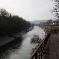
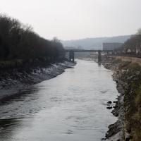
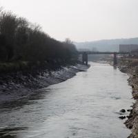
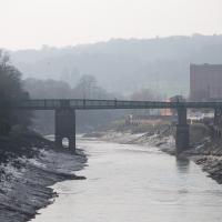
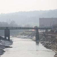
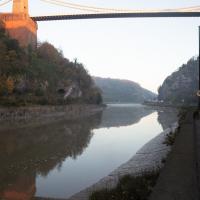
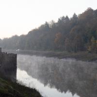
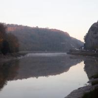
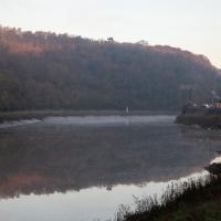
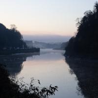
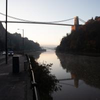
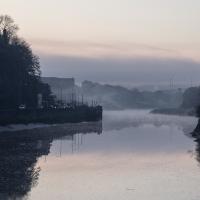
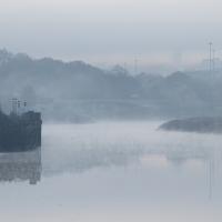
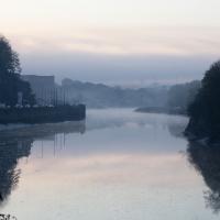
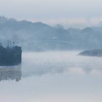
I spotted the fog and decided to go for a morning walk rather than a lunchtime walk today. It was cold on the Portway, but it was worth it. Most of my One Mile Matt photos are "record shots", but it's nice to get the chance to do something a bit more artistic.
A Quick Swing Past Ashton Court
05 Jun 2022
Another day not dissimilar to my last wander: I'm feeling a bit tired and rather than just moping around the house I thought I'd find some tiny bit of somewhere that I'd not yet walked and get outdoors. This time I headed for the Tobacco Factory Market in Bedminster, as I often do, but went the long way around via Ashton Court Mansion as I knew there were some footpaths and a small section of road I'd not ticked off up there. Finishing all the Ashton Court footpaths will be quite a long job, but you've got to start somewhere...
I did feel rather better by the time I got home, and, pretty much astoundingly given the weather forecast, managed to avoid the rain completely.
A Constitutional to Burwalls and Back
21 Dec 2021
The recent lack of posts here is mostly due to my feeling very run down following having a couple of wisdom teeth extracted. Having had an emergency appointment yesterday1, hopefully I'll be on the mend now, though it does mean I'm on the kind of antibiotics where you can't touch alcohol for the whole of the Christmas period. I have tried to keep myself a little distracted from the pain by working on the nuts and bolts of this website—you should notice that the front page loads rather faster now than it used to, and that there's a shiny new statistics page that I'll probably be continuing to work on. Oh, and you should find that the tags below the photos are now clickable and will take you to a page of all other wanders that have photos with the same tag.
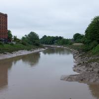
Today I felt like I needed to drag myself out of the house, but I didn't want to go too far, and I needed to get to the Post Office up in Clifton Village to post a Christmas card (spoiler for my parents: it's going to be late. Sorry.) As luck would have it, idly looking at the map I spotted that I'd missed off a section of Burwalls Road in the past, and that's basically one of the long-ways-round to Clifton Village, crossing the river to Rownham and walking up the hill on the Somerset side before coming back across the Suspension Bridge.
As I was heading for Burwalls Road I decided to make Burwalls itself the focal point of the walk, but unfortunately the mansion grounds are private and the place is hard to snap. Still, at least it gave me a destination. Burwalls was the mansion built by Bristol press magnate Joseph Leech, who I've mentioned before after buying a vintage book he wrote on a previous wander. There's a good article about the house on House and Heritage which has some photos from angles I couldn't ever get to. (Well, maybe with a drone, but it seems like the kind of area where they may be kitted out for clay pigeon shooting, so I probably wouldn't risk it.)
1 My dentist admitted that she probably needed to keep her internal monologue a bit more internal after we started the appointment with her staring into my mouth and immediately saying, "oh, that's weird." These are words one doesn't want to hear from a medical professional.
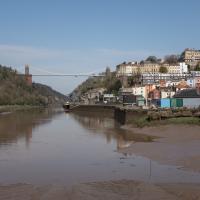
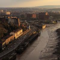
Technically that's still actually the Hotwell Road down there, and it doesn't become the Portway until the Bridge Valley Road junction, but I needed the alliteration, okay?
This is the kind of photograph that I really like, but is harder to find appreciation for these days—the Panavision aspect ratio I've chosen, 2.35:1, doesn't play nicely with today's standard media consumption device of a mobile phone held in portrait orientation. Maybe one day we'll all be using the internet through VR headsets and landscape orentation will make a comeback.
