I looked back on the old maps, and found “School Ruins” on the 1947-1965 OS maps layer, then just “School” on a few earlier maps, but then, finally, the 1874 Ashmead map told me enough to track it down: “Clifton National School”.
According to the Clifton and Hotwells Character Appraisal:
In 1835, the Clifton National School was built on the terrace above Hotwell Road and the Clifton Poor-Law Union workhouse on the lower terrace, becoming Clifton Industrial School in 1849; the same year, Hotwell Road was widened. A Training Institute for Females and Domestic Servants in Clifton Wood also appeared in this area by 1860 and by 1901, 53 trades were recorded between Dowry Square to Anchor Road, including 23 pubs…
…Clifton largely escaped widespread destruction during the blitz, though… a bomb also largely destroyed the Clifton National School and Mardyke House School. The lack of bomb-proof shelters in Clifton led to the Clifton Rocks Railway to be used as shelter, which was prepared for occupation in 1940. Throughout the bombing up to 200 spent the night there.
GPS Coordinates:
51.45018, -2.61159
Neighbourhood: Hotwells East
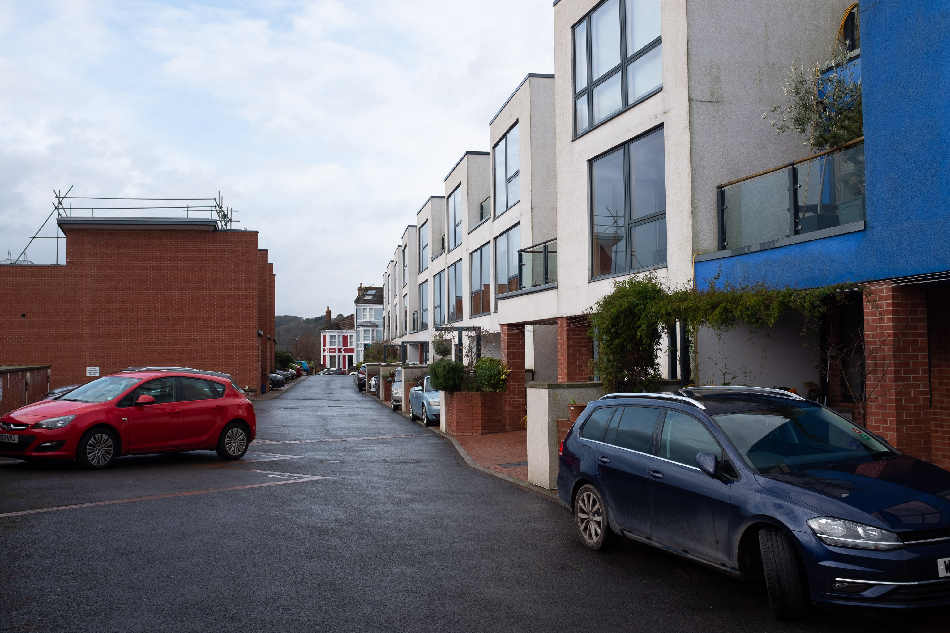
Street: Old School Lane