The factoid I was trying to confirm, from 'To Keep Open and Unenclosed':
The Management of Durdham down since 1861:
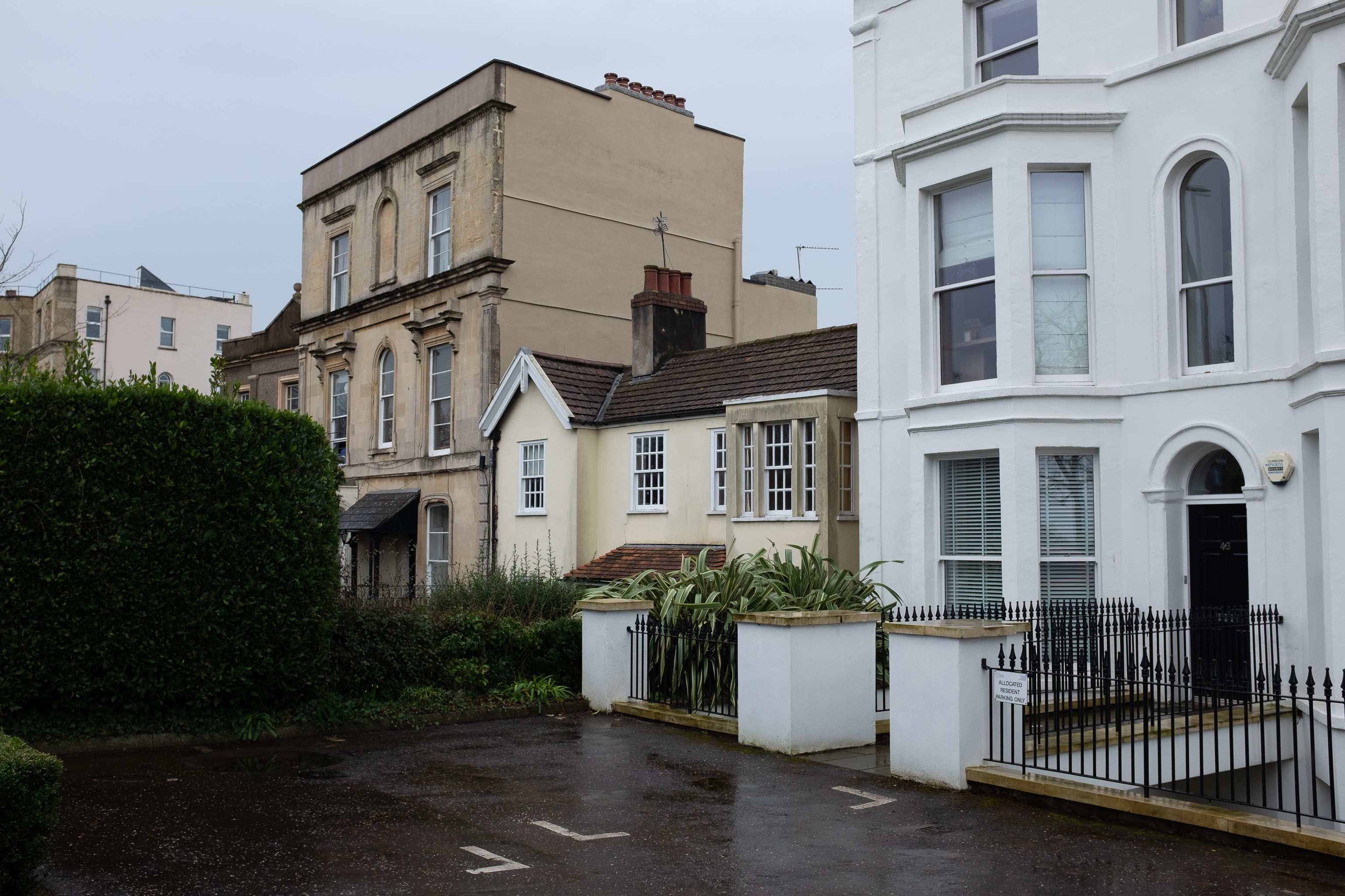
By local repute, the bungalow at 46 Upper Belgrave Road was owned by BWW and was of reduced height so that the man in charge of the pump at Oakfield Road could see the standpipe and stop pumping when the reservoir was full!
This looked like the likeliest suspect. However, it's number 44—46 is the larger place two doors further away in the picture—and it's two-storey, not a bungalow.
Taken: Sat 20 February 2021 14:13
Rating: ★★★
GPS Coordinates:
51.46999, -2.61719
Neighbourhood: Clifton Down
Street: Upper Belgrave Road
