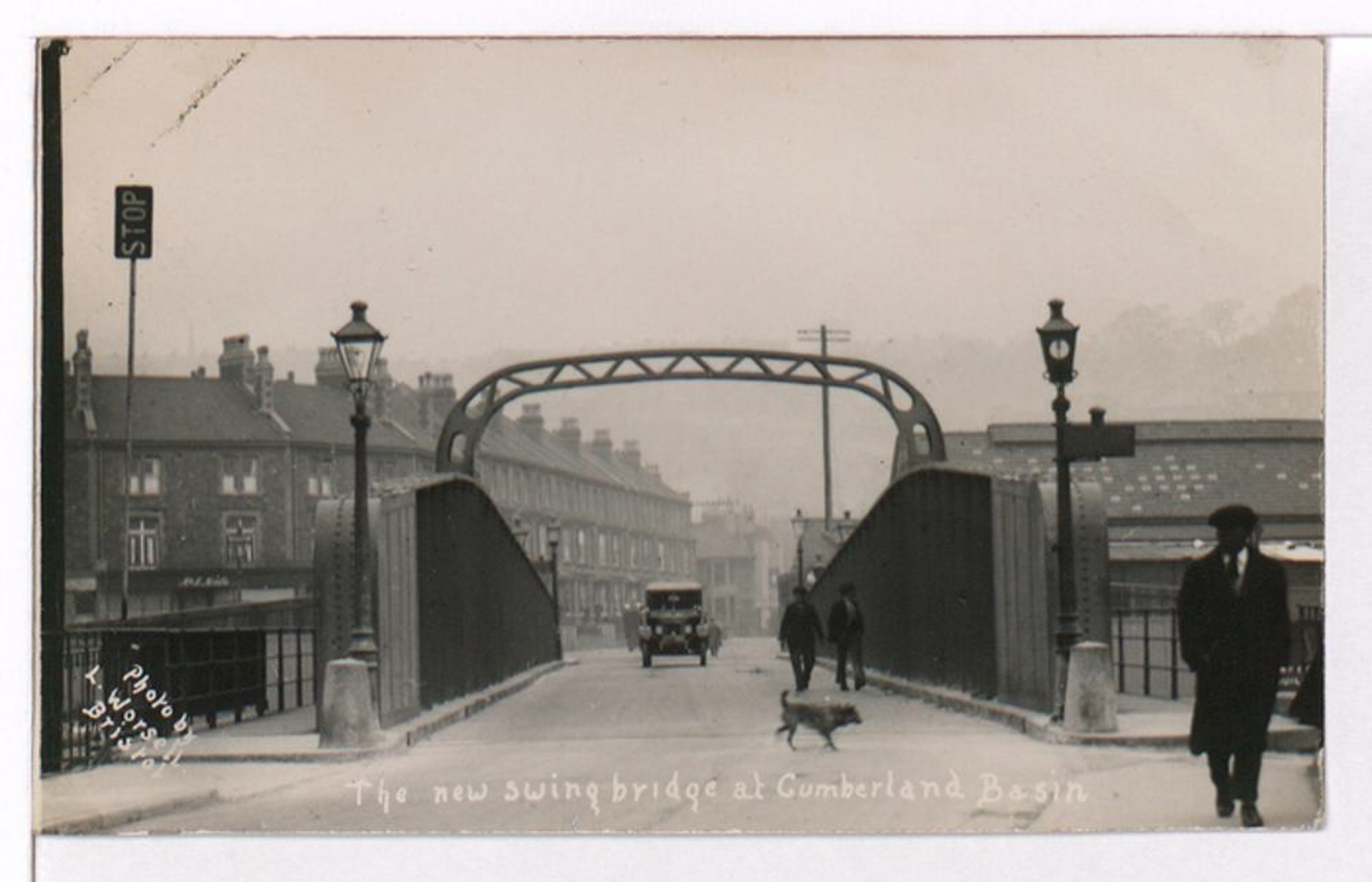
Photograph by L. Worsell, Bristol. Courtesy Bristol Archives/The Vaughan Collection
GPS Coordinates:
51.44758, -2.61876
Neighbourhood: Spike Island
Street: Nova Scotia Place