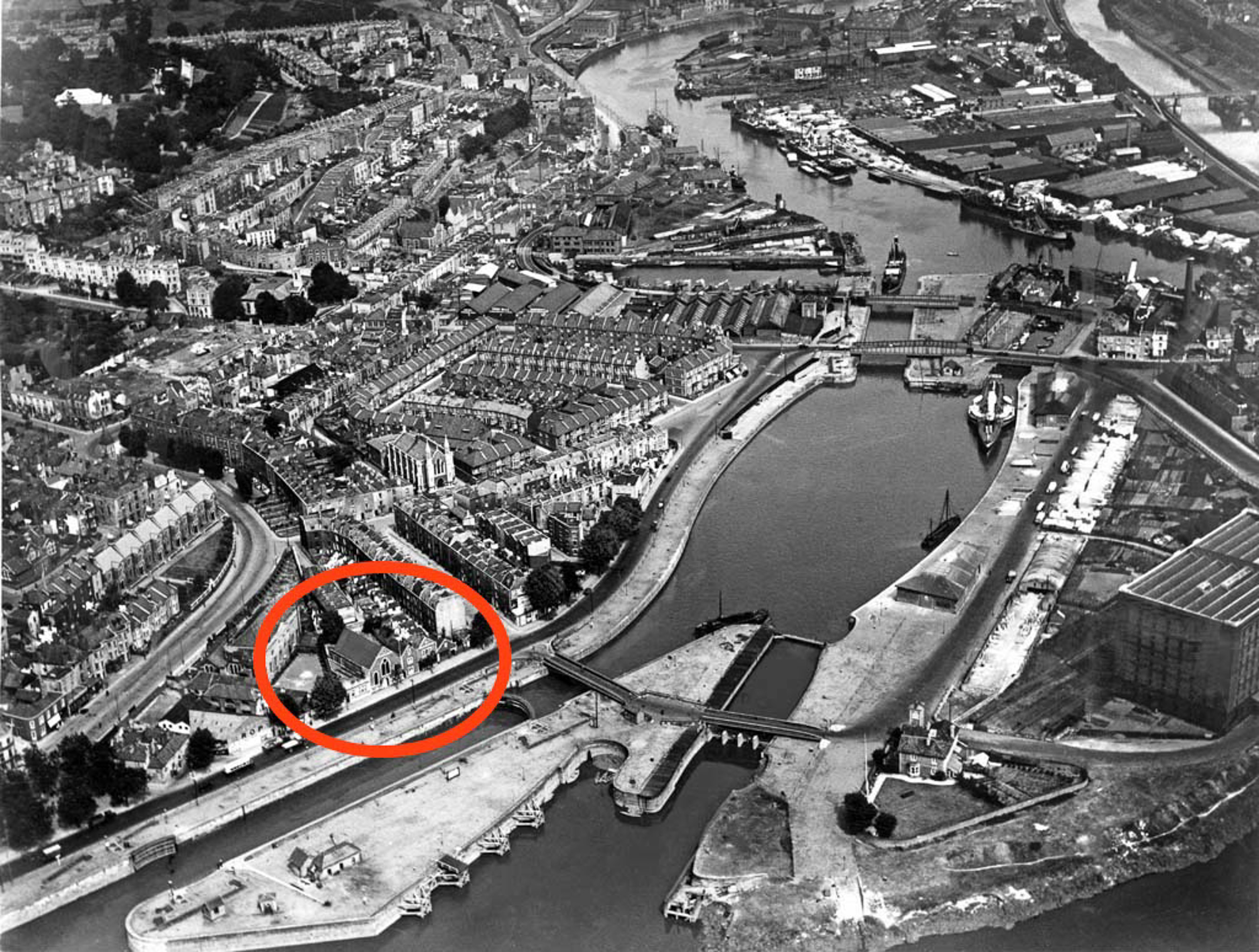
I was fairly sure the Terrett Memorial Hall would have faced Entrance Lock—after all, they'd be wanting to drum up trade from sailors!—and I eventually came across an aerial photo from 1934 on the ever-helpful Bristol City Docks website's Cumberland Basin page that confirmed my hunch.
I haven't had the time to find out when it was demolished, but the whole Cumberland Basin Flyover System (which you can see being built on that web page) had replaced this area by the mid-1960s.
This is photo PBA487 on that page, I think courtesy Bristol Museums Galleries and Archives.
Taken: Tue 9 March 2021 12:53
Rating: ★★★
GPS Coordinates:
51.44920, -2.62264
Neighbourhood: Hotwells & Harbourside