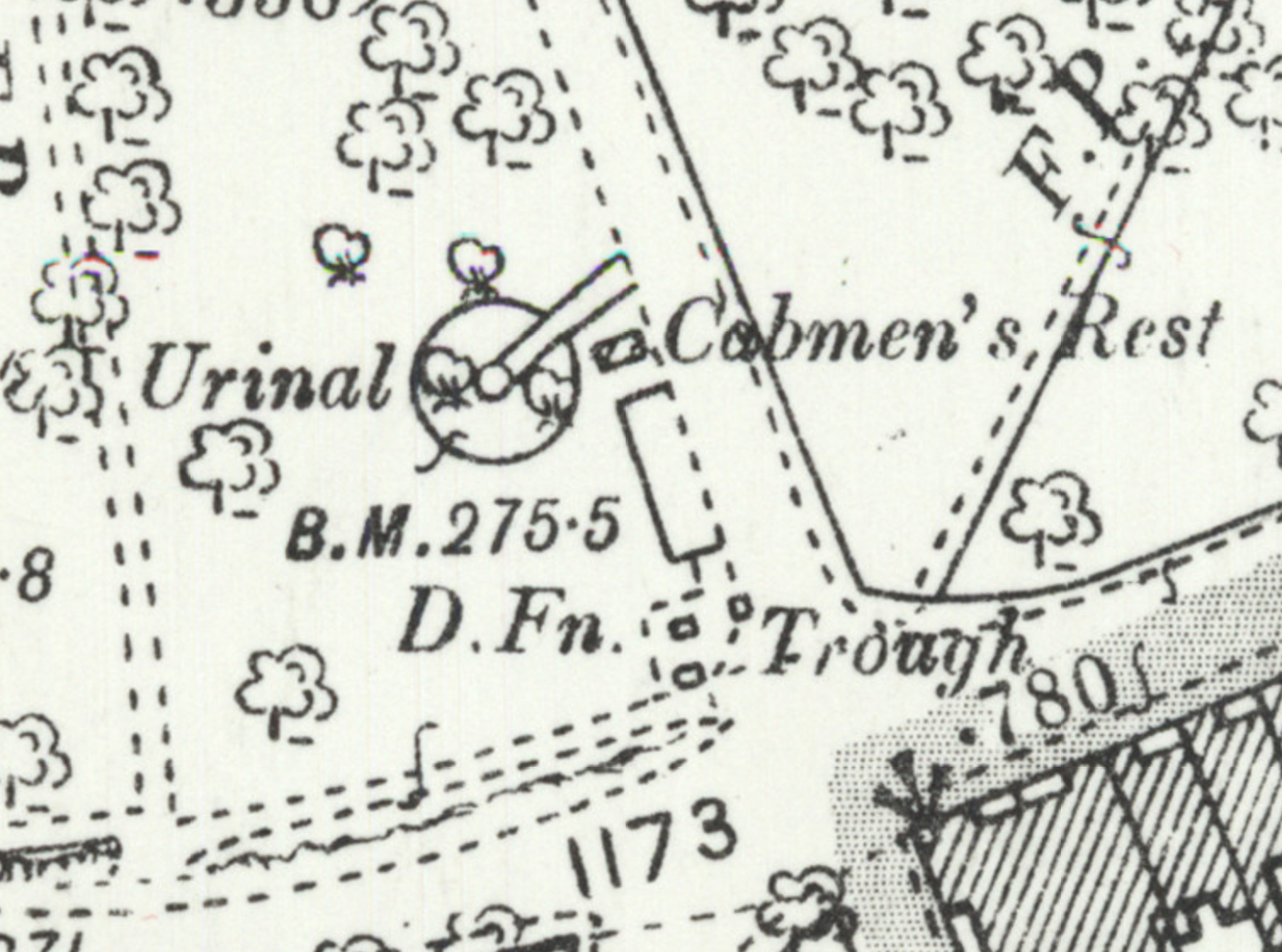
Looking at the old OS maps, it seems this must have been where all the local cabbies hung out. The Cabmen's Rest has a urinal, drinking fountain, and horse trough, all on this little corner. Perhaps the little wall marks the edge of an old shelter; there's a box on the map there but it doesn't give much away.
Ther's a little shelter/bandstand-looking thing in the background of a few historic photos from the area like this one of a horsedrawn omnibus but it's hard to tell what's where.
GPS Coordinates:
51.45636, -2.62361
Neighbourhood: Clifton Village
Street: Gloucester Row