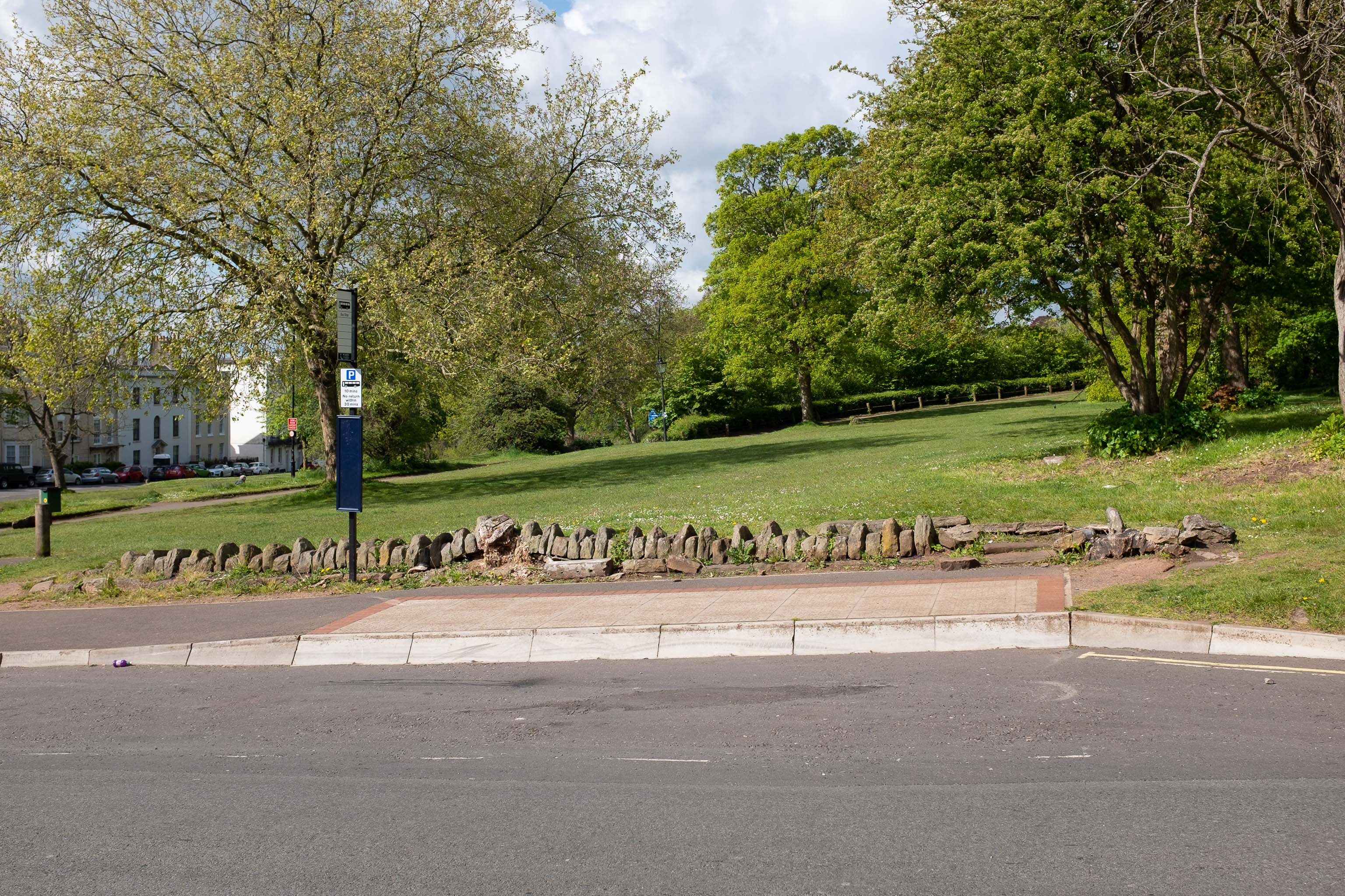
I tried to figure out what this used to be—didn't have a lot of luck, but the next snap is taken from an old OS map showing that this area has been a stand for public transport since long before the modern bus stop here.
GPS Coordinates:
51.45661, -2.62365
Neighbourhood: Clifton Village
Street: Gloucester Row
