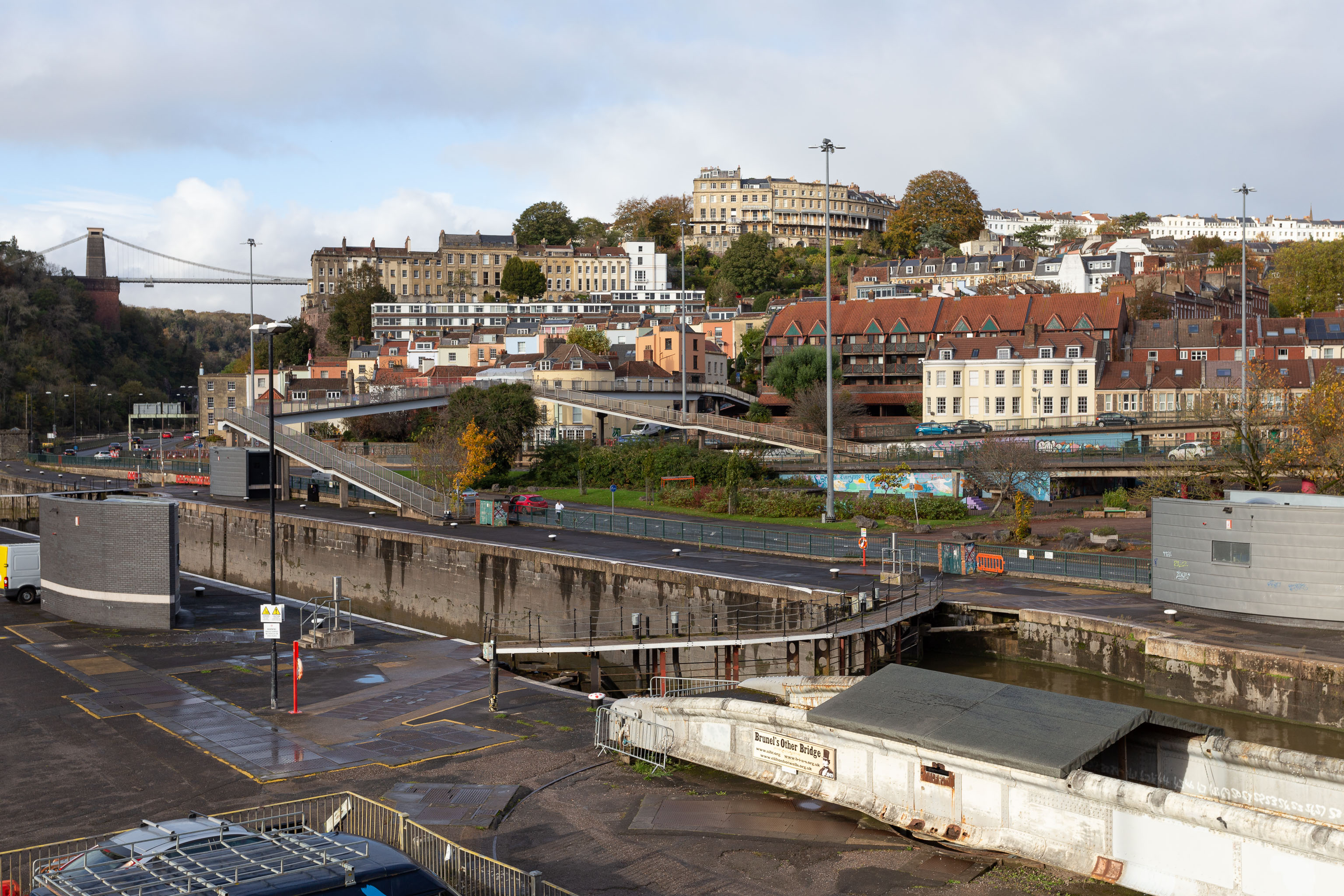
I was trying to recreate the angle of the old, pre-Cumberland Road Flyover System photo that comes next. I couldn't get the angle, mostly because of the height, but this seems to be shot from about the right direction.
From wander: Knocking Off Clanage Road, a Tidbit on the Stork Hotel, and Pre-Flyover Hotwells
Taken: Sat 6 November 2021 13:51
Rating: ★★★
Taken: Sat 6 November 2021 13:51
Rating: ★★★
GPS Coordinates:
51.44841, -2.62258
Neighbourhood: Hotwells
Street: Brunel Way
