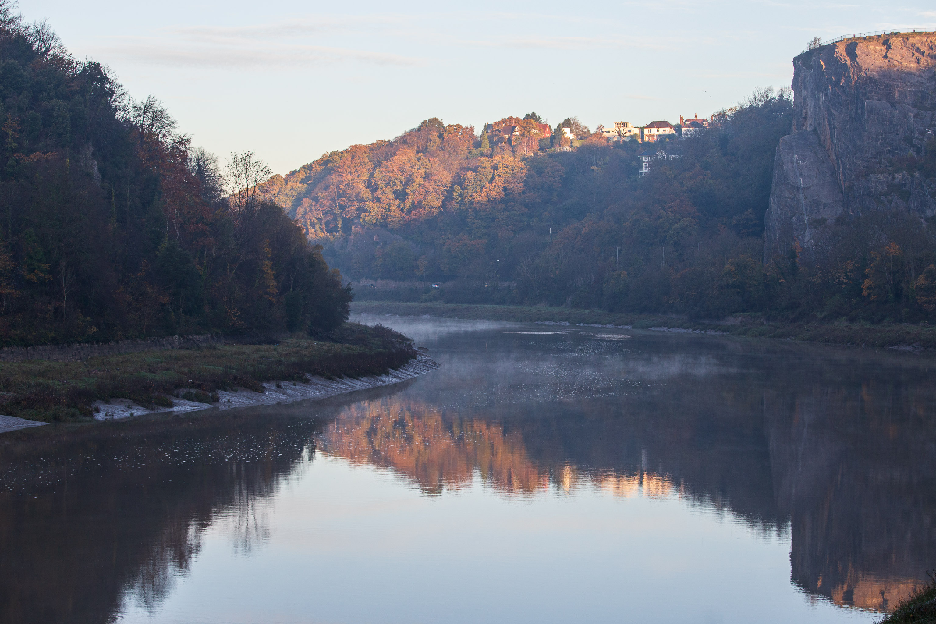
The edge of Durdham Down, where the railings are, top right, is known as Sea Walls, but nobody really knows why. It's not like the sea is anywhere nearby, and they're not walls.
This impression is reinforced to some degree by another fairly recent local name. In the Avon Gorge, the main high rock-face below Durham Downs, in Westbury on Trym parish, is Black Rock, which is sometimes loosely known as Sea Walls. Sea Wall appears on the OS 6" map of Gloucestershire (1888) in a position corresponding to the actual wall built on the cliff edge by John Wallis in 1746 (Goldthorpe 2006: 38), and the name originally given to this structure, Wallis's Wall, was replaced at an uncertain date by the present non-obvious one. Given that the term sea-wall is a usual one in the Severn area for the artificial sea-banks protecting the saltmarshes (as in the See Walles in Henbury parish in 1550; PN G/ 3: 136), it is strange that it should have been adopted for this inland cliff-edge structure. The earliest record so far found is also in the title of a painting, an early work by Francis Danby, "The Avon Gorge from the Stop Gate below Sea Walls" of c.1815. — Some Local Place-Names in Medieval and Early-Modern Bristol, by RICHARD COATES with the collaboration of JENNIFER SCHERR
GPS Coordinates:
51.46507, -2.63168
Neighbourhood: Sneyd Park and the Downs
Street: Portway