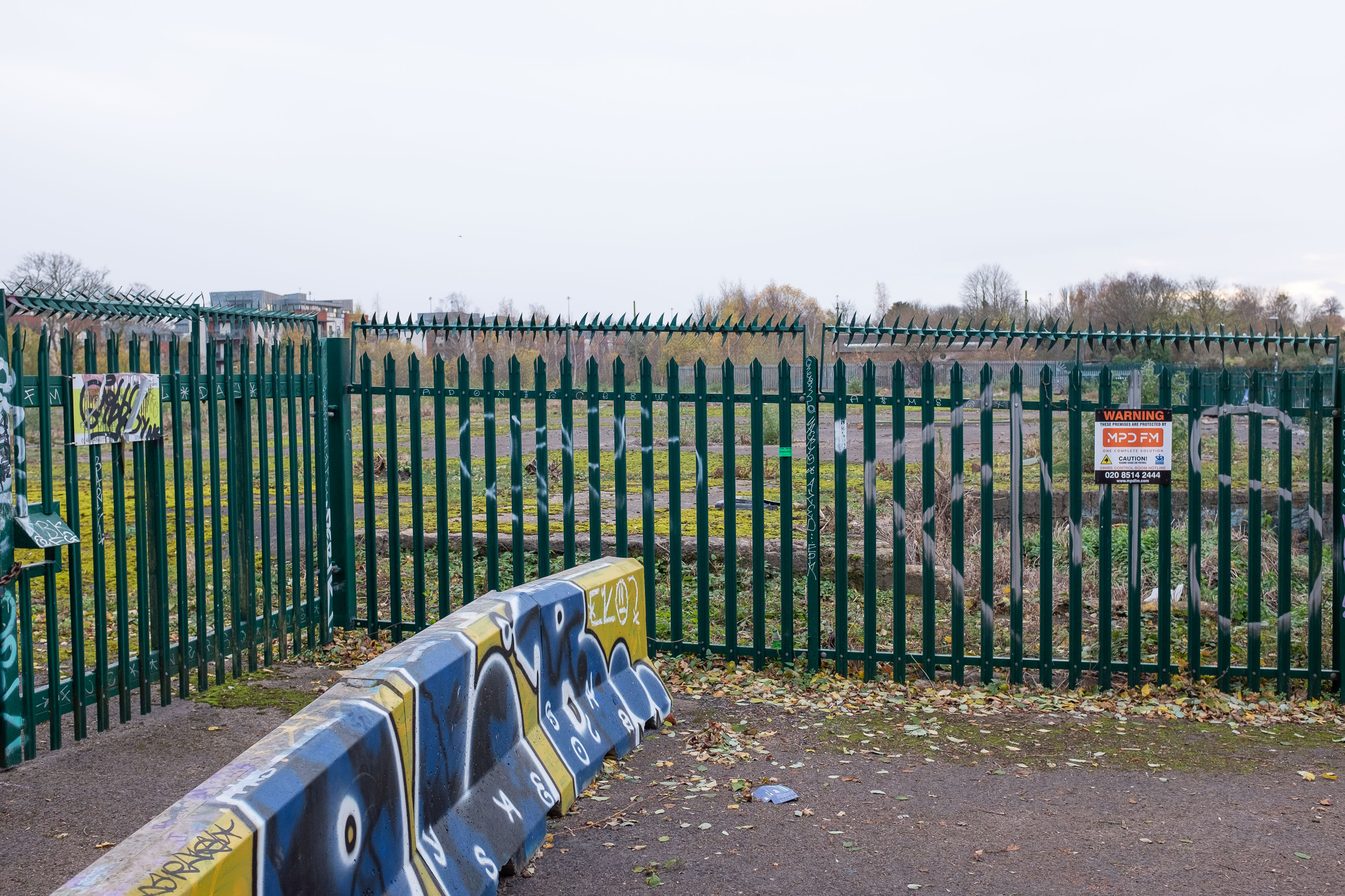
There's not much to see here. However, trying to find out what was here has been quite fascinating.
By the looks of it, this was part of the site of the Bristol International Exhibition, and I also found a photo of "Bristol's Own B Company" geotagged here—apparently the Glosters were stationed on the site of the exhibition after its early closure, so that might tie up, especially as the photo is dated 1914-1919 and the Glosters were here until 1919.
Aha! Yes, as you can see from this other postcard, that building was indeed part of the exhibition. Gosh. I hadn't really realised just how grand the exhibition ground was—you can certainly see why they called it the White City.
So, this would definitely have been part of the exhibition ground—around where the grandstand was—as would almost all of the surrounding area. Wow. Must've been quite something. They had everything from a rifle range to a replica of Bristol Castle.
As for this particular derelict bit of fenced-off ground, I give it five years before we see some architectural drawings of luxury flats with the bare minimum of affordable housing hidden around the back. Will it be as well-built as the plasterboard and gypsum White City? Who knows...
Later edit: Ah! On a later wander I found the key piece of information about this strip of land that let me search for it properly: its name. This strip of land, from the Stone Yard we just saw to here is the Ashton Gate Depot, a former railway sidings, and apparently I may have been overly cynical about the luxury flats, though there are definitely plans to turn it into flats, according to the Evening Post:
The proposed redevelopment of the site would include 99 one-bed apartments, 138 two-bed apartments, two three-bed apartments and 14 four-bed townhouses.
According to plans submitted to the council, all the new housing will be affordable because it will either be shared ownership or socially rented.
The development will span across five buildings between four and nine stories high.
There's more info and a detailed map on this planning document.
From all the old maps I can see, the actual railway sidings were in between this strip of land and the new development at Paxton Drive, around where the dedicated Metrobus line now runs. Perhaps this strip to the west of them was used for general railway storage, or maintenance buildings, or what-have-you. Now I've found out a bit more it should be easier to dig into the history; knowing railway enthusiasts there's probably a quaint little three-volume hardback set on The History of the Ashton Railway Depot...
Taken: Sun 28 November 2021 14:49
Rating: ★★★
GPS Coordinates:
51.44534, -2.62415
Neighbourhood: Bower Ashton
Street: National Cycle Route 33