Tagged: bower-ashton
Bedmo and Ashton Court
21 Nov 2020
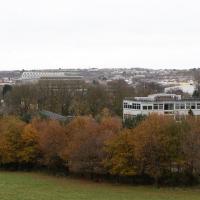
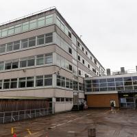
A rather more wide-ranging weekend wander with Sarah and Vik, taking in some mock Tudor bits of Bedmo (I should note that I've subsequently been corrected to "Bemmie", but I'm an outsider and have been calling it "Bedmo" for short for decades...), a chunk of Ashton, a path up Rownham Hill called Dead Badger's Bottom(!), The Ashton Court estate, a bit of the UWE campus at Bower Ashton, and some of the Festival Way path.
I wonder if there's a single one of these left in the world that's not been turned into some kind of mobile cafe?
Lunchtime Reproduction (of an old photo...)
17 Jan 2022
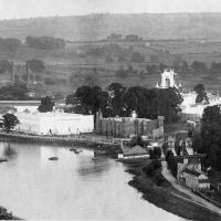
This was basically the quick lunchtime jaunt I tried to do at the beginning of January, only this time I actually managed to get to roughly the viewpoint I'd been hoping for to recreate a historical photo of the Bristol International Exhibition.
I did this walk about a month ago, but I've been a bit poorly and not really up to doing much in my spare time, and it's taken me this long to even face processing even these few photos. Hopefully normal service will be resumed at some point and I can carry on trying to walk any roads and paths that I need to do to make this project feel complete...
From Bristol's Lost City, by Clive Burlton, available from Bristol Books; photograph from the author's own collection.
(And extra credit goes to my parents for buying me the book for my birthday! Thanks!)
The Bristol International Exhibition site, presumably around 1914 or not long after. You can see the Rownham Ferry in use, too. I still find it pretty amazing that there used to be a busy ferry and a significant railway station on this little scrap of land that I just used to know as the grassy bit at the start of the towpath, let alone a replica of Bristol Castle!
A Random New Year's Day Wander
01 Jan 2022
I picked a fairly arbitrary reason for a wander today. Really, I just wanted to do a New Year's Day wander just to get out of the house and to set a precedent for the year to come.
My ostensible reason was to investigate what looked like a road on my map that quartered the lawn in front of the Ashton Court mansion. As it turned out, this is just a muddy footpath/desire line similar to a half-dozen other tracks nearby, and must be some kind of bug or misclassification with the mapping system I'm using, but that's not important. What's important is that I went for a little walk on the first day of the year. As a bonus, I did happen to wander down a couple of sections of new footpath, so technically I broke some new ground too, which is nice.
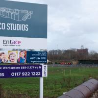
I still have no really clear idea what this place is, and their website's not much enlightenment, either. They seem to think this is ten minutes' walk from the city centre; I'd love to know what kind of space/time warp technology they're using. Seven-league boots, perhaps?
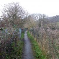
However, it just leads you onto a footpath at the edge of the playing fields I wandered across last time I was in the area. Still, it's nice to know where it goes.
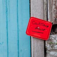
It's quite a dramatic sign, colour wise. Given that it seems to be written in Sharpie on the lid of an old tub and drawing pinned to the post I imagine it's a temporary measure :D
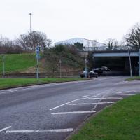
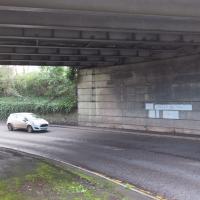
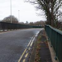
Last time I walked over the top of this I noticed that there was at least a vestige of pavement along the side of the underpass, so given the quiet New Year's Day traffic I figured I'd try getting over there and walking under for the first time in my life...
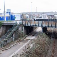
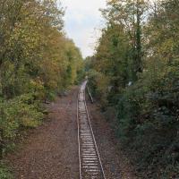
The somewhat unholy trinity of the A3029, the metroBus route and the Portishead branch line. I'm not sure what anyone could do to make this view uglier. Suggestions on a postcard to the council, perhaps?
A Door, a Square, a Few Night Shots
04 Dec 2021
I didn't take many pictures on this quite long wander, partly because Lisa and I wandered across to Bedminster via Bower Ashton, which I've snapped quite a lot of on the last couple of walks, and also because we lost the light fairly quickly, though spending a half-hour drinking mulled wine in the Ashton might have had a little to do with that...
Before we left Hotwells I wanted to visit a door I'd heard about on Cornwallis Crescent and also take a little look at a couple of houses in Dowry Square to consider the 1960s regeneration of Hotwells.
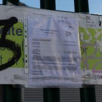
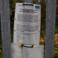
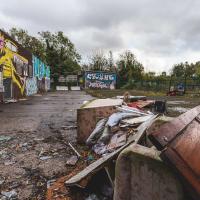
It was this notice that finally let me figure out that this strip of land was called Ashton Gate Depot and find out a bit more about it.
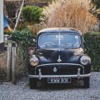
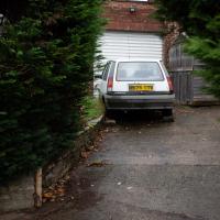
Given how much Bower Ashton feels like an anachronism, walking past this wasn't that surprising. 1954 Morris Minor, I think.
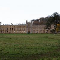
Site of a manor house since the 11th Century. Last time I was in there it was also with Lisa, my companion for this walk, as a team of storytellers from Red Rope Theatre read us ghost stories just before Halloween. It was excellent.
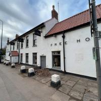
They should form a pub. This is just over the road from The Ashton, so there's perhaps a little too much local competition. Lisa and I popped in for a mulled wine.
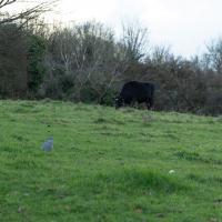
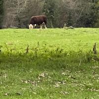
This is arguably better than the last time I tried to snap a cow in this field, but it's still terrible. Maybe next time I'll have a longer lens, or the cow will be closer...
This field is called St John's Chapel. On the oldest map I can find, from somewhere between 1844 and 1888 it's marked as the "Site of St John's Chapel" but with no sign of the chapel, so it must be very long-gone. "The Chapel was dedicated as St. John or St. James depending on the source consulted, and it presumably fell into decay after the village was deserted, in the 13th or 14th century. No trace remains above ground level today, and the site is just a field" says The Churches of Britain and Ireland.
I can see on the same map that there's clearly been a pub where The Ashton is for a very long time. It was called The Smyth Arms back then.
Bower Ashton is an interesting little area just south of the river from me—in fact, the Rownham Ferry used to take people over from Hotwells to Bower Ashton, operating from at least the twelfth century to around the 1930s.
It's a strangely contradictory little area, with a cluster of old and new houses sandwiched in between the busy A-roads and significantly more industrial area of Ashton and the bucolic country estate of Ashton court roughly east to west, and also between Somerset and Bristol, north to south.
I've been around here before, mostly poking around Bower Ashton's arguably most well-known bit, the Arts faculty campus of the University of the West of England, but I'd missed at least Parklands Road and Blackmoors Lane, so I initially planned just to nip across briefly and wander down each in turn. On a whim, though, I texted my friends Sarah and Vik in case they were out and about, and ended up diverting to the Tobacco Factory Sunday market first, to grab a quick flat white with them, extending my journey a fair bit.
To start with, though, I nipped to a much more local destination, to see something that you can't actually see at all, the Gridiron...
(I also used this wander as a test of the cameras in my new phone. I finally upgraded after a few years, and the new one has extra, separate wide and telephoto lenses compared to the paltry single lens on my old phone. Gawd. I remember when speed-dial was the latest innovation in phones...)
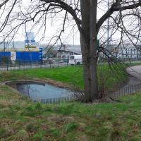
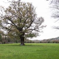
All of a sudden, everything's a bit quieter and there's open fields in front of me. And livestock, if you can spot the cow in the far distance, just to the right of the tree.
See? Livestock. Although the zoom on my phone camera really does show why people are still dragging big lenses and cameras with large sensors around with them.
I'm not sure if this is my nearest cow—there are some in Leigh Woods, too—but it's still quite reassuring to know that it only takes about a mile for me to be next to some livestock. This is far further than it would have been even a hundred years ago, when there were still cowsheds and a slaughterhouse behind the Pump House (as opposed to the Rownham Mead housing estate) and when the Cumberland Basin still had sheep pens along the side...
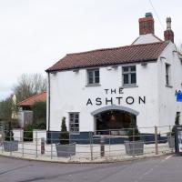
I'm not sure I've ever walked or even driven past the Ashton before, and it's only a mile away from me—in fact, my mile radius line divides it roughly in half. Tripadvisor suggests that its solid 3-star review average is made up of people having either one-star or five-star experiences, which is sometimes the hallmark of a great place that's happy to be rude to idiots...
Maybe this is the place to have a celebratory meal when I finally decide I've actually walked all the roads within my mile...
It's got the grazing field at the front and school playing fields at the back, and the road it's on isn't manic. Does this count as a Somerset "country" pub I can walk to?
This used to be called The Dovecote, but was gutted by fire in 2014 and re-opened under the new name the following year.
I was really just busking my route at this point, and finding a handy entrance to Ashton Court I figured that wandering back through the estate was a good plan.
No idea what's through here. Let's go take a look. Is there a way to get back to Parklands Road? I don't even know if you can get into Parklands Road from this end...
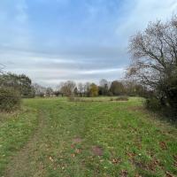
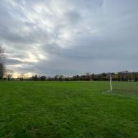
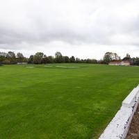
Presumably these are school playing fields, though there was no great barrier to entry. They seem to be school-adjacent, but maybe they're more public... I followed some people who looked like they knew where they were going, which I find is often an expedient way of getting lost.
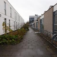
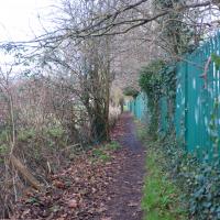
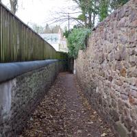
It's always a treat to find a new alleyway, especially when it seems to be leading in the right direction. I reckon we're going to emerge somewhere near the far end of Parklands Road. This also might be a handy shortcut if I ever want to come back to The Ashton from home...
Well, it doesn't seem to lead into the school, and presumably it leads somewhere...
The Gridiron and Bower Ashton Part Two
03 Dec 2021
On my last wander, to Bower Ashton, I was intending to knock Blackmoors Lane off my list "to-do" list, but got a bit diverted. I also took a little look into the history of the Gridiron, once a cheaper alternative to dry dock that was nestled just south of North Entrance Lock.
Today I had to go to send a parcel off somewhere, so I decided on going to the North Street Post Office via Blackmoors Lane. I didn't have much intention of anything else, but as luck would have it I walked out both at low tide and also as some lockkeepers seemed to be having a bit of a training session, and one of the more senior people was (a) happy to answer a few random questions on the Gridiron and (b) actually knew a lot about it, as Gridiron maintenance had been one of his jobs, more than twenty years ago...
So I might have missed the deadline a bit, then. Just as well I don't own any land around here...
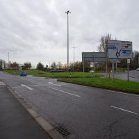
The delights of the Bower Ashton roundabout. Here's a picture of it under construction in the 1960s from the Bristol Archives. Don't tell me I don't know how to show you a good time.
Here it is: my target road to tick off the list.
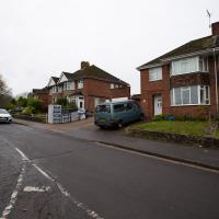
These are the houses in that archive photo.
Some of the houses along here are definitely 1950s, as you can hear in this oral history, where Eileen Pimm describes the process of watching the house she still lives in being built in 1957.
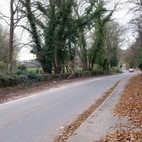
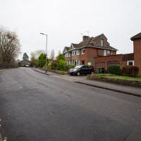
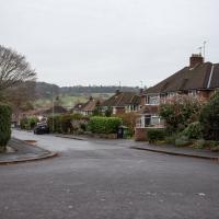
Although we're heading towards the trafficky roar of the A370, it's still more of a subdued hum from here, and you could almost convince yourself that you were on the outskirts of a little town in the country.
Bigger than Sunday's nearby semi, today's is a four-bedroom (it's the left-hand house) and has just sold for £725,000. It all looks very well-put-together and modernised throughout, mind.
Opposite Country Gates, which is the rather aspirational name for the office block there.
Out of sight to my right is Ashton Park School, which accounts for quite a few things that look like roads on the map, but which aren't public and which I'm not going to wander down.
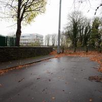
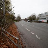
As usual around here, I want to go that way but there's no crossing and no pavement, so we'll head back through this little green and head for that bridge you can see that spans the left-hand lane here.
I went out simply wanting to knock off the very last little unwalked section of Clanage Road, over by Bower Ashton, which has been annoying me for a while as it's quite close by and I've walked the other bits of it several times. So, my plan was to nip over to Greville Smyth Park via a slightly unusual route to wander Clanage Road and tick it off.
Along the way, though, I inevitably got a bit distracted. I took a few photos of Stork House, a grand Hotwell Road building that's recently been done up a bit (I imagine it's student lets, though I'm not sure) and which I found a reference to in a book about the Port Railway and Pier the other week, and also tried to match up a historical photo of Hotwells before the Cumberland Basin Flyover System laid it waste, which included some interesting markers I'll have to do a bit more digging into...
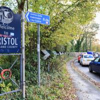
Because yes, we have just had a little excursion into Somerset, technically. So welcome back to Bristol, home of traffic jams.
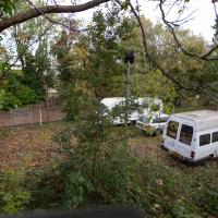
Or possibly a caravan-park-to-be. This is the old Police stables and kennels, and dog-training ground, I think. There are plans afoot for the Baltic Wharf caravan park, forced out of its home by the plan to redevelop the area as flats (which I imagine will be touted as "affordable" and then turn out to be luxury apartments with at most 5% barely-"affordable" apartments around the back), to this site.
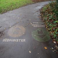
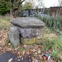
A milestone, perhaps? And there looks to be a benchmark on the bigger bit.
Aha! A quick look at the historic OS maps on Know Your Place finds a marker right on this spot marked "B.S.", which the National Library of Scotland's helpful abbreviations page translates as "Boundary Stone". With that in mind I then had a look on the wonderful geograph site and there it is:
The front stone appears to be an old boundary stone, delineating the Administrative County, Parliamentary County and Rural District boundaries that were part of the Bristol limits in the twentieth century, possibly dated 1897? Behind it is a larger block of stones that may have been part of the Smyth estate further up the hill. On the latter is a partly hidden benchmark.
So I spotted the partly hidden benchmark correctly, too :) There is, of course, a benchmarks directory with an entry for the benchmark itself. What did people do before the internet?
EDIT TO ADD Nearly a year later, I watching a DVD Bristol Railway Stations by Mike Oakley and found out what the larger bit behind the milestone actually is: it's the last remnant of the Clifton Bridge Station buildings, which once faced out onto the road here.
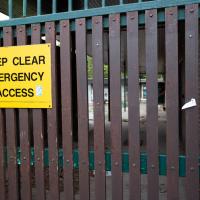
View into the car park of the former stables/kennels. I just poked my camera through a big hole in the gate.
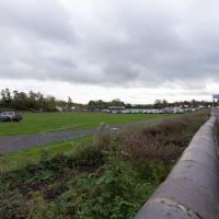
I think it's mostly used for sport, but the only thing I've ever used it for is the Clifton Car Boot Sale.
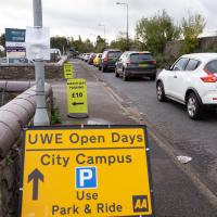
So that's why all the cars are there—not for the Open Day, it turned out; it's the other signs that are the giveaway. Somewhere, some people are committing a sport.
