So, mostly this wander will be a panoply of photos of my friend Lisa and her paddleboarding friends making their way around the harbour dressed in Christmas outfits. But, on the way, I figured I'd try to reproduce another historical photo.
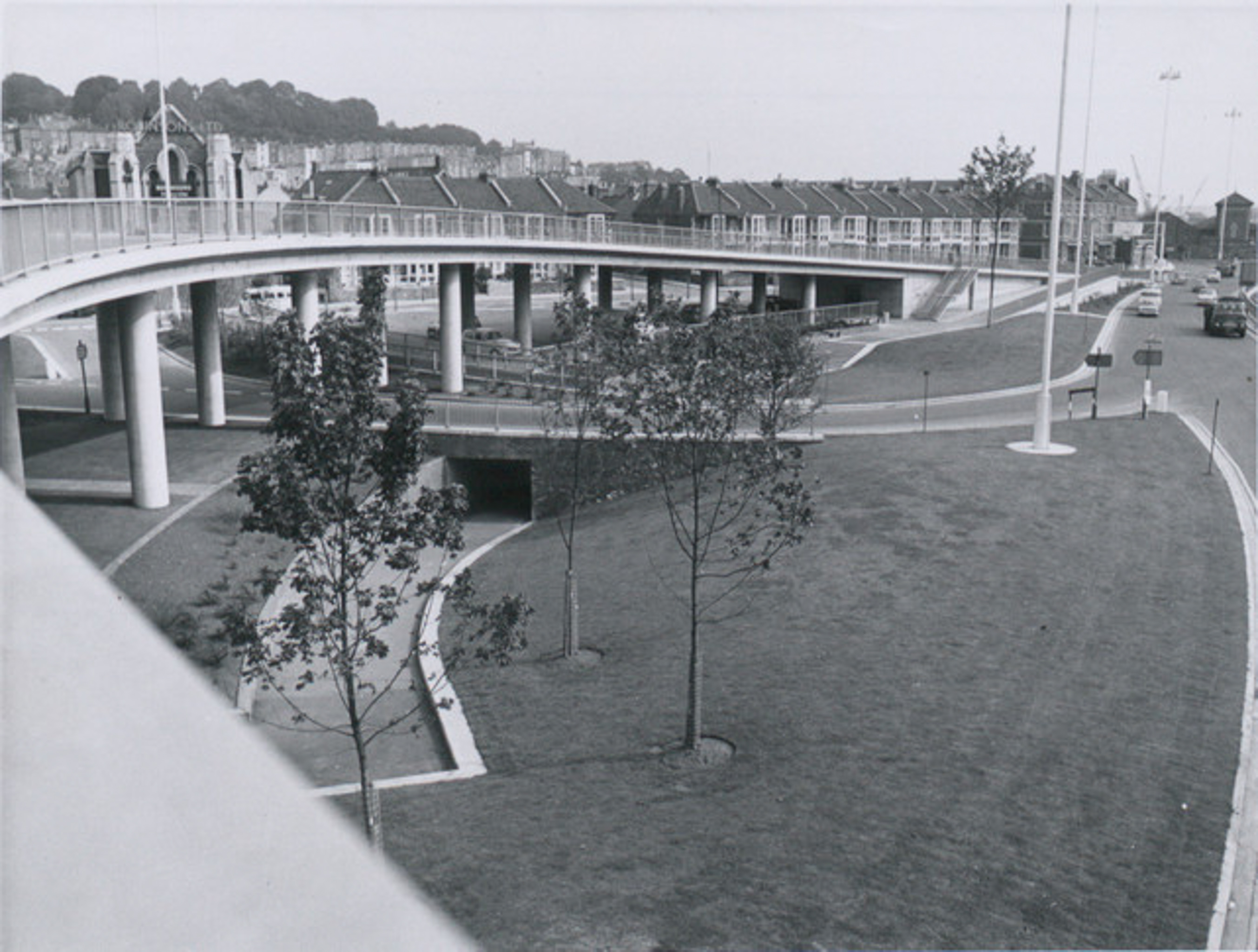
This one's from the Bristol Archives' collection of council Public Relations photos. It's title The northern side of the Cumberland Basin Bridges Scheme: Completed and landscaped, 1965, BRO 40826/CUM/28.
I find that this actually looks quite nice, all clean and shiny and new. It probably looks very similar to the architect's drawing and scale models and what-have-you that they produce for these sorts of things.
Via Bristol Archives/Know Your Place.
Taken: Sun 12 December 2021 12:41
Rating: ★★★
GPS Coordinates:
51.44884, -2.62209
Neighbourhood: Hotwells
