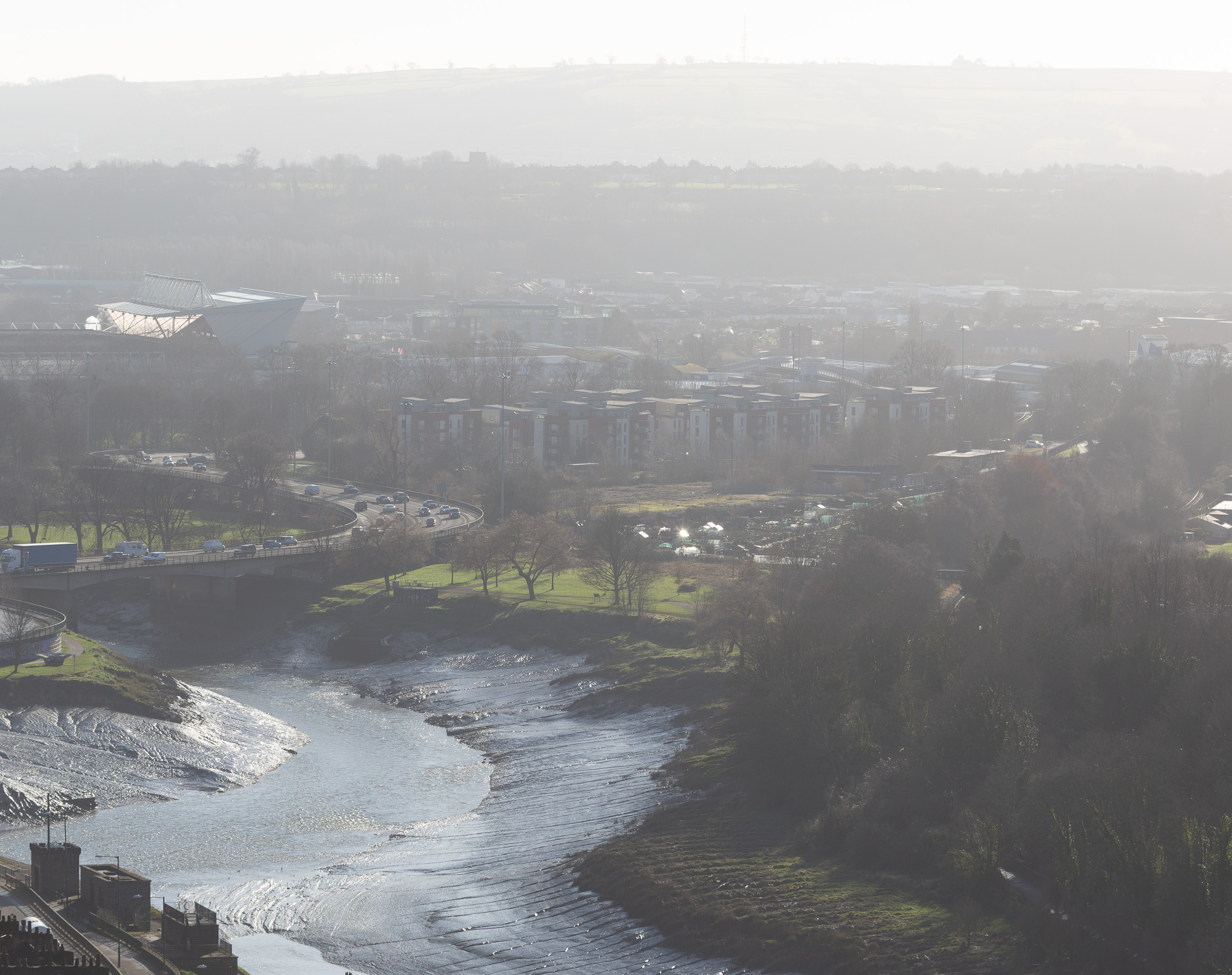
Unlike my last attempt I successfully managed to get somewhere near the vantage point of the historic photo this time...
I should probably have tried to get it at high tide to make it a bit more comparable, but you can't have everything.
You can see the White City Allotments—those glints of light toward the middle are mostly reflections from greenhouses—where the "White City" of the Exhibition used to stand. There's still a glimpse or two of the railway line to Portishead to be seen, too, along with a vestige of the Rownham Ferry slipway.
Mostly though it's the modern things that stand out—the long line of flats along Paxton Drive, the curve of Brunel Way across the river, and the roof of Ashton Gate Stadium...
Taken: Mon 17 January 2022 12:43
Rating: ★★★
GPS Coordinates:
51.45517, -2.62727
Neighbourhood: Hotwells
Street: B3129
