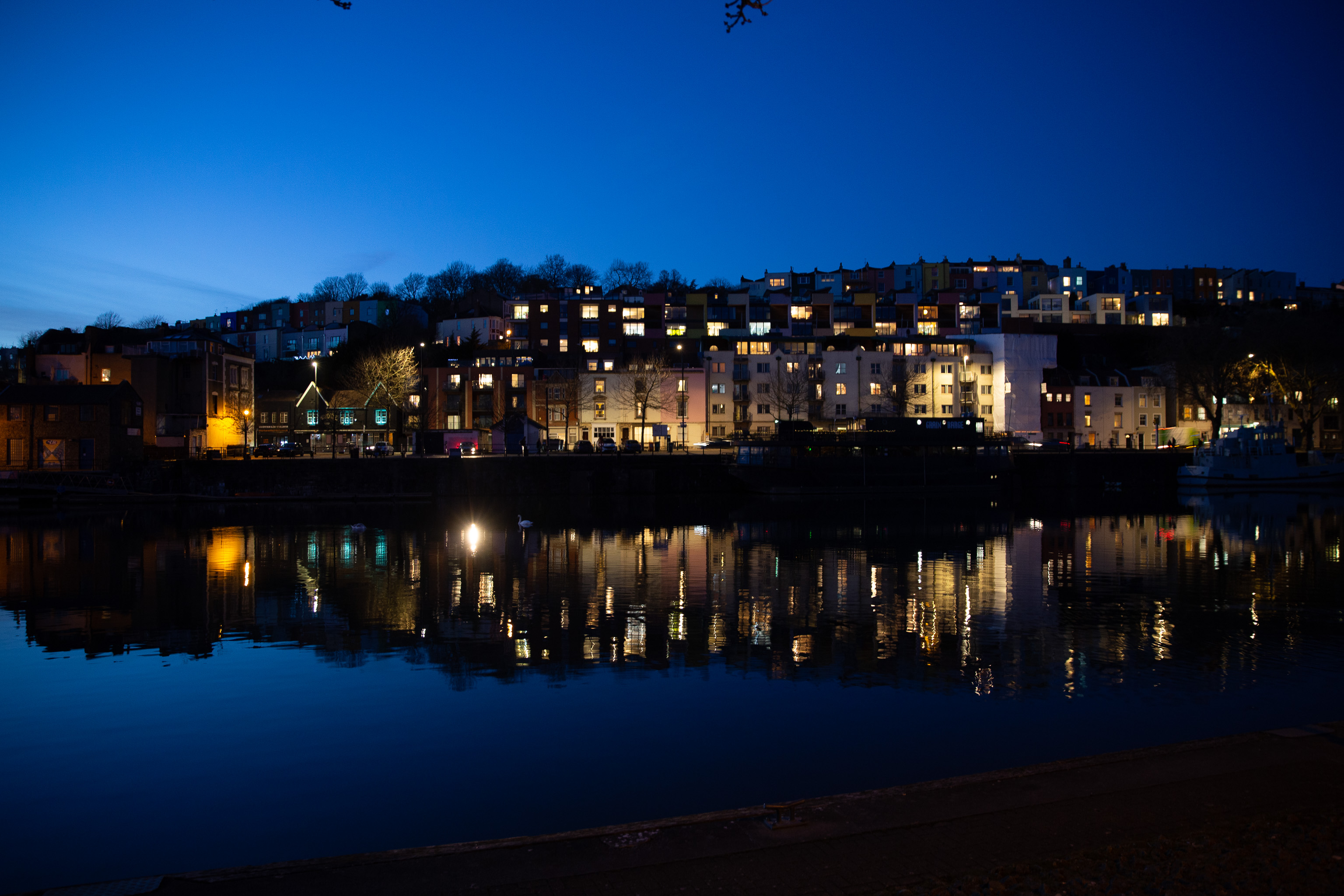
The road on the other side there used to just be called Mardyke; the wharf was Mardyke Wharf. Apparently it means "boundary ditch", which presumably was what was there historically.
GPS Coordinates:
51.44855, -2.61236
Neighbourhood: Hotwells & Harbourside