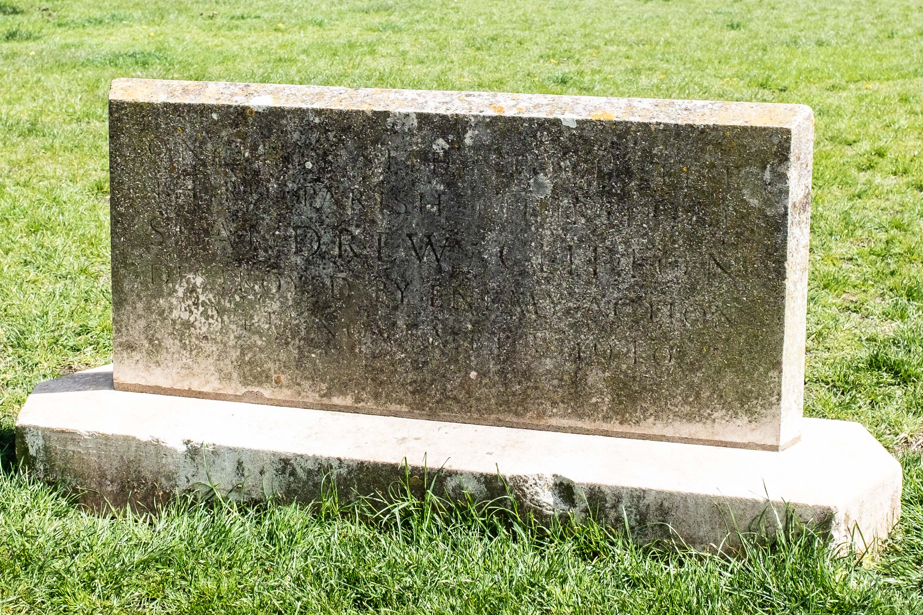
ON THIS SITE STOOD THE THIRD PARISH CHURCH OF ST ANDREW CLIFTON DESTROYED BY ENEMY ACTION 24TH NOVEMBER 1940
Near as I could make out, anyway, and I think the date's right.
GPS Coordinates:
51.45386, -2.61478
Neighbourhood: Cliftonwood
Street: The Fosseway