Tagged: saint-andrew-s-churchard
Victoria Square Underpass
06 May 2021
I'm meant to be taking a little break from this project, but in my Victoria Square researches after my last walk I noticed a curiosity I wanted to investigate. The community layer on Know Your Place has a single photograph captioned, "The remains of an 'underpass' in Victoria Square".
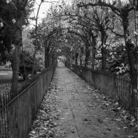
Looking back through the maps, I could see that there really did used to be an underpass across what used to be Birdcage Walk. I can only guess that it was there to join the two halves of the square's private garden that used to be separated by tall railings that were taken away during WWII. Maybe it was a landscaping curiosity, maybe it was just to save them having to un-lock and re-lock two gates and risk mixing with the hoi polloi on the public path in the middle...
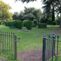
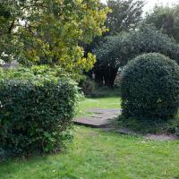
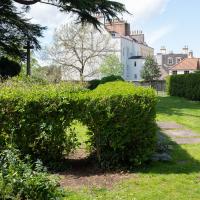
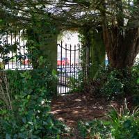
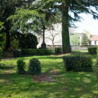
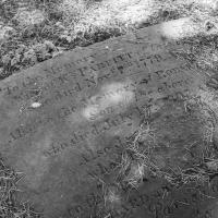
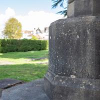
Anyway. Intrigued, I popped up to Clifton Village this lunchtime for a post-voting coffee, and on the way examined the remains of the underpass—still there, but only if you know what you're looking for, I'd say—and also visited a tiny little road with a cottage and a townhouse I'd never seen before, just off Clifton Hill, and got distracted by wandering the little garden with the war memorial in St Andrew's churchyard just because the gate happened to be open.
EDIT: Aha! Found this snippet when I was researching something completely different, of course. From the ever-helpful CHIS website:
When there were railings all round the garden and down the central path, in order that the children could play together in either garden there was a tunnel for them to go through. This was filled in during the 1970s but almost at the south east end of the path if one looks over the low wall the top of the arches can still be seen.
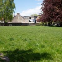
I'm going to call this the memorial garden. Don't know if it has an official name, but it's a railinged-off area with the war memorial in it...
Up until WWII, anyway. The outline of the church remains around this square of land; the stones you can see bottom left are one of its walls. Among the many interesting images accompanying Bristol 24/7's story about the Bristol Blitz you can see an image of St Andrew's Church after the bombing raid of November 1940. I'd call it an interior shot, but most of the interior had become the exterior by that point...
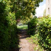
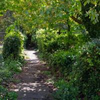
I hadn't realised, from the other end, that this little alley was part of the churchyard rather than a way through into a private back garden; it looked as though it might pop up in the Bishop's House, and you don't want to disturb a bishop. When I worked out it just led through to the main church area I decided to walk it just for completeness, looping around and out through the memorial garden again.
Hotwells and Clifton/Clifton Village
14 Nov 2020
A local walk with my friend Lisa in tow, including a coffee from the cafe in the Clifton Observatory, where I have fond memories of experiencing my first camera obscura, and cake from Twelve in Clifton Village, one of my favourite recent finds for both food and flat whites.
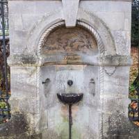
I'm fairly convinced that there's not a single working public water fountain anywhere in Bristol.
