Tagged: ashton-avenue
Very Local
06 Nov 2020
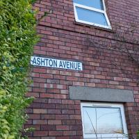
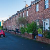
It's surprisingly easy to overlook the giant Wesleyan Grenville Chapel—now converted into flats—if you've lived here a while. Other sights that seem to slip from my memory include the modest Ashton Avenue, a tidy terrace of little houses on a road that presumably gave its name to the Ashton Avenue bridge.
I'm not sure I ever realised there was still and Ashton Avenue to go with Ashton Avenue Bridge.
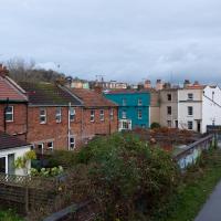
I'm never sure what to tag this area as. Is it Hotwells? It's certainly close to Hotwells, but I tend to think of Hotwells as north of the river. Is it Spike Island? Ashton? It's in BS1, not BS8. On the other hand, Ashton Avenue is in the "Hotwells and Harbourside" ward...
Underpass
25 Nov 2020
A quick lunchtime jaunt for coffee. I've often wondered about the dots on the wall of the underpass. Apparently they're not intelligible Braille. Maybe it's Marain :D
I don't think I ever crossed this bridge on foot before starting my "One Mile Matt" project.
I mostly went out to hang out with my friends Sarah and Vik in Bedminster, but along the way I thought I'd take a closer look at something a little nearer home: the last crossing point of the Rownham Ferry.
Getting back to the Rownham Ferry, the Ashton Avenue Bridge is one of the reasons it was closed. On the excellent Bristol City Docks website you can find a photo called "Rownham Ferry c1906 with Ashton Avenue Bridge nearly built.".
As you'll see in that photo, at low tide the Rownham Ferry was basically just a bridge made out of boats, so it probably still seemed a quick shortcut compared to walking all the way to Ashton Avenue Bridge. I imagine the foot traffic gradually migrated to the new bridge as the ferry was a more daunting prospect at high tide, from what I can gather. Also, the combined road/rail bridge would have allowed people to get the train across the river, rather than stopping at Clifton Bridge Station and using the ferry, I think.


