Tagged: automotive-parking-light
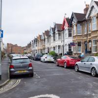
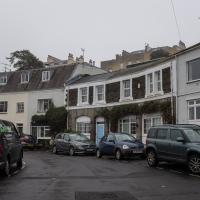
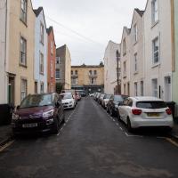
Clifton Village Mini Wander
20 Nov 2020
Just a quick wander up the hill to get a flat white from Twelve. I really enjoyed the spooky mannequin (?) in the window.
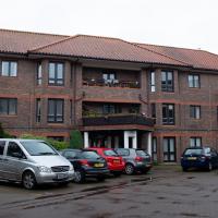
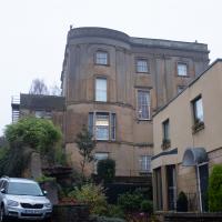
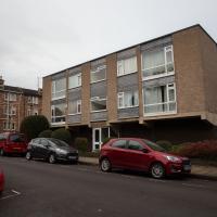
A little retirement housing block sitting at the end of a private road at the end of the Fossway. I've never wandered up and seen it before, though I've walked past it a thousand times.
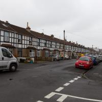
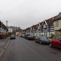
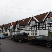
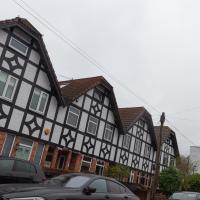
Bedmo and Ashton Court
21 Nov 2020
A rather more wide-ranging weekend wander with Sarah and Vik, taking in some mock Tudor bits of Bedmo (I should note that I've subsequently been corrected to "Bemmie", but I'm an outsider and have been calling it "Bedmo" for short for decades...), a chunk of Ashton, a path up Rownham Hill called Dead Badger's Bottom(!), The Ashton Court estate, a bit of the UWE campus at Bower Ashton, and some of the Festival Way path.
And Back Down the Hill from the Flu Jab
21 Nov 2020
This is my return from getting my annual flu jab at Christ Church, as explained in more detail in my wander up the hill.
Used to be a fairly nondescript place with offices or a home—not sure which—over a double-garage, which seems to be the standard layout on this stretch of PVS. The only thing I remember about it is the only nondescript thing: it had a big flagpole jutting out of the top floor. You can still see a St George's Cross dangling from it on Google Street View.
Up for the flu jab
21 Nov 2020
A trip up the hill to get my winter flu jab. I'm not sure I really needed it this year, what with avoiding Covid—I haven't had so much as a sniffle in more than a year—but seeing as they offered... Instead of the doctor's surgery on Pembroke Road, they'd taken over Christ Church, presumably to give more room and ventilation for the necessary social distancing at the moment. As usual, it was their typically efficient operation, and I was in and out in about three minutes.
On the way there and back I snapped as much as I could, but I wanted to be home in time for the first online Times Crossword Championship. As it turned out, I needn't have bothered, as the technology at the Times couldn't keep up with the demand from competitors, and their system just collapsed under the weight of page-views. They tried again the day after, and it collapsed just as badly. Maybe next year...
This wander is split into two parts, as I turned my tech off to go into Christ Church for my jab. The walk home can be found over here.
Avoiding the Accounts
26 Nov 2020
I took the day off my day job to do my accounts—or at least do enough bookkeeping to send them to my accountant. I hate doing the books. I woke up late, tired and with a headache and decided to bunk off for a walk around Cliftonwood, Clifton Village and Clifton instead, taking in a couple of good coffees along the way. Thanks, Foliage Café, and Twelve for the flat whites.
A long ramble, starting with trying to find the Hot Well of Hotwells and leading up the side of the Avon Gorge to the Downs and then through Clifton for coffee.
I recently learned—after seeing reference to someone being "mewed up" in EH Young's Chatterton Square (which is set in nearby Canynge Square)—that "mew" is an old word for "moult". And that hawks used to be confined in cages called "mews" when they were moulting. That's where The Kings Mews in Charing Cross first got its name; it was where the royal hawks were confined during their moulting. Later The Kings Mews was converted to stabling, and became the place where the King's carriages were kept, and the word "mews" spread from there and began a new life a word for a road full of coachhouses, or later, garages, turning as it did from a plural to a singular. So we now have the words "mew", "mews", and "mewses", each more plural than the last!
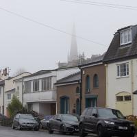
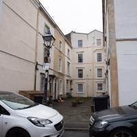
Well, this whole street does seem quite mewsey. Christ Church pops up in the background, as it often does anywhere near Clifton Village.
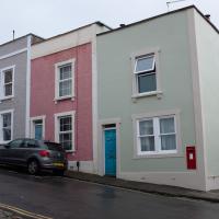
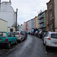
Cliftonwood and a Secret Garden
03 Dec 2020
I love the isolation of Cliftonwood -- the geography of it, with its solid boundary of Clifton Vale to the west and Jacob's Wells Road to the east mean that you tend not to be in Cliftonwood unless you've got a reason to be there. It's not a cut-through to anywhere, at least not from side-to-side, and you can only really exit to the south on foot.
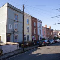
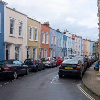
I sense that I'd be happy living in Cliftonwood -- like my bit of Hotwells, it's a quiet little area with a sort of quirky feel to it. Plus it contributes the colourful houses that are the backdrop of about half of all Bristol postcards ever made :)
I found the "secret" garden especially interesting, just for the fact that it really does feel quite secret, despite the obvious name on the gate. I've lived a half-mile from it for twenty years and I don't think I've ever noticed it before, despite exploring the area a few times.
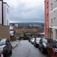
More Cliftonwood
05 Dec 2020
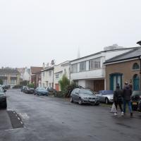
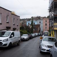
Back to Cliftonwood for a wander that included some of the belle views of Bellevue Crescent and other bits of the easternmost part. Highlights included watching someone bump-starting an elderly Nissan Micra in the narrow confines of Bellevue Crescent.
I looked back on the old maps, and found “School Ruins” on the 1947-1965 OS maps layer, then just “School” on a few earlier maps, but then, finally, the 1874 Ashmead map told me enough to track it down: “Clifton National School”.
According to the Clifton and Hotwells Character Appraisal:
In 1835, the Clifton National School was built on the terrace above Hotwell Road and the Clifton Poor-Law Union workhouse on the lower terrace, becoming Clifton Industrial School in 1849; the same year, Hotwell Road was widened. A Training Institute for Females and Domestic Servants in Clifton Wood also appeared in this area by 1860 and by 1901, 53 trades were recorded between Dowry Square to Anchor Road, including 23 pubs…
…Clifton largely escaped widespread destruction during the blitz, though… a bomb also largely destroyed the Clifton National School and Mardyke House School. The lack of bomb-proof shelters in Clifton led to the Clifton Rocks Railway to be used as shelter, which was prepared for occupation in 1940. Throughout the bombing up to 200 spent the night there.
It's a bit odd on the map, as Cliftonwood Crescent leads to Southernhay Crescent, but then that turns back into Cliftonwood Crescent after a short stretch. Then that turns into Southernhay Avenue. I imagine there's a lot of redistribution of post that's been put through the wrong letterbox around here.

Alma Vale
06 Dec 2020
I wasn't really feeling it when I set out today, on my first car-assisted wander. By the time I'd parked on Alma Vale Road in Clifton it was just starting to rain and I picked my way about in quite a desultory way. It felt strange, as I was very familiar with the area because I'd walked through it hundreds of times when I worked at the top of Whiteladies Road, and used to walk up the hill from Hotwells and through Clifton to get there, and back again, every day.
Then a complete coincidence seemed to make the change I'd been hoping for. I was standing taking a photo of Christ in the front garden of All Saints church when a couple of people walked out of the front door. I got talking with a lady I took to be part of the ministerial team, who invited me to come in and look around—something I'd always wanted to do on the morning commute. (I think we connected a bit when I recognised the name John Piper, who did the amazing windows—I learned about him while I was at Warwick, through his connections to Coventry Cathedral.
I left with much more of a spring in my step, wandered around the area a bit more, finally working out that the tennis courts I used to pass every morning are those of Clifton Lawn Tennis Club, and finally grabbing an excellent Hungarian sausage hot dog from the Budapest Cafe. I feel a lot better now than I did before I went out.
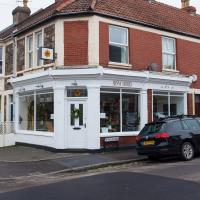
I walked past this a lot on my way to work for a couple of years, and always vaguely wondered what it was.
Mark's Bread
07 Dec 2020
I realised that if Hopper Coffee in Greville Smyth Park was in reach during my lunch hour, then perhaps Mark's Bread at the end of North Street would be do-able, too. And I was right. I also managed to cross Clift Road, with its pretty gable bargeboards, off my list, and encounter a dapper gent walking his dogs while playing loud jazz music from somewhere under his jacket. That's North Street for you.