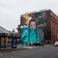
Tagged: tire
Fruitless Coffee Excursion
01 Dec 2020
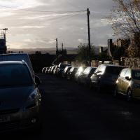
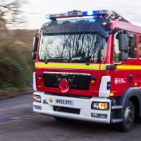
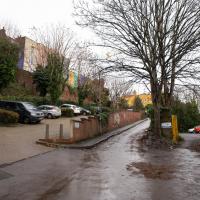
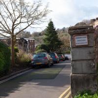
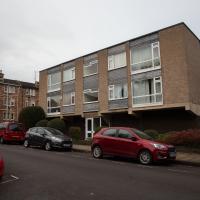
Unfortunately by the time I got to Greville Smyth Park I was already about halfway through my lunch-hour, and the queue was too long to wait to actually get a coffee. Is that a fruitless excursion? Presumably a coffee bean is technically a fruit...
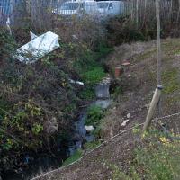
This kind of vague musing was sadly overshadowed by my delay at Ashton Avenue Bridge on the way back, where someone—hopefully still a someone, rather than a body—was being stretchered up the bank of the river, presumably having just been rescued from the water. As I made my way home the long way around, avoiding the cordoned-off area at the back of the CREATE centre and its car park, I saw an ambulance haring across the Plimsoll Bridge, siren running, presumably on its way to the BRI. I'd like to think that was a good sign.
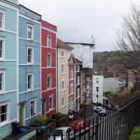
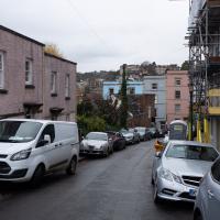
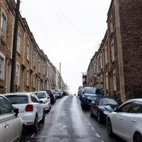
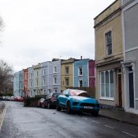
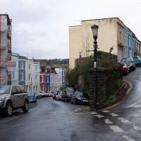
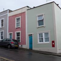
Cliftonwood and a Secret Garden
03 Dec 2020
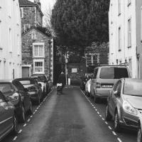
I love the isolation of Cliftonwood -- the geography of it, with its solid boundary of Clifton Vale to the west and Jacob's Wells Road to the east mean that you tend not to be in Cliftonwood unless you've got a reason to be there. It's not a cut-through to anywhere, at least not from side-to-side, and you can only really exit to the south on foot.
I sense that I'd be happy living in Cliftonwood -- like my bit of Hotwells, it's a quiet little area with a sort of quirky feel to it. Plus it contributes the colourful houses that are the backdrop of about half of all Bristol postcards ever made :)
I found the "secret" garden especially interesting, just for the fact that it really does feel quite secret, despite the obvious name on the gate. I've lived a half-mile from it for twenty years and I don't think I've ever noticed it before, despite exploring the area a few times.
I got curious about Bioinduction's sign down on the Hotwell Road once. According to the company's website theire mission is to "develop a precisely targetted brain pacemaker that offers new hope for the millions of sufferers... To revolutionise the treatment of cerebrovascular and neurodegenerative diseases where there is no effective drug therapy available today."
Apparently Gnodal "was a computer networking company headquartered in Bristol, UK. The company designed and sold network switches for datacenter, high-performance computing and high-frequency trading environments"
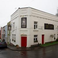
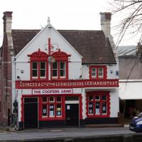
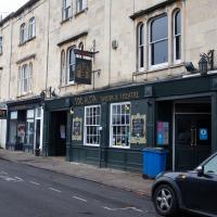
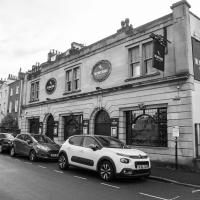
It's a great pub. Friendly, welcoming, family-run, extremely good food. Only been a few times. I hope it weathers the Covid storm.
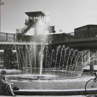
Weird Bristol posted this picture and I don't know the source, I'm afraid. It shows the fountain at Cumberland Piazza, long-since fallen into disuse, filled with soil and planted with trees.
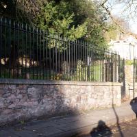
Strangers' Burial Ground
04 Dec 2020
I tried to find the Strangers' Burial Ground the last time was up in Clifton, but I'd not realised that Lower Clifton Hill continues further on after the turning with Constitution Hill. Sadly it was chained shut, but it still looks beautifully-maintained, perhaps by the same man referenced by this story from John Hodgson, which helped me find it. Apparently Thomas Beddoes is buried here.
Although, given the sign, perhaps I shouldn't have. But I didn't think they'd object terribly. I've actively interested in living here; a couple of flats have popped up on the market in recent times and the views are amazing.
I take a snap of the Clifton Club virtually every time I pass. Perhaps it's having read too much Jeeves & Wooster; I fancy belonging to a private members' club. But then, on reflection, I'm perhaps with Groucho Marx on that one.
Only been in a couple of times over the years. I like the way it's got a back entrace from the Arcade, and I seem to remember the beer was varied and well-kept.
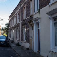
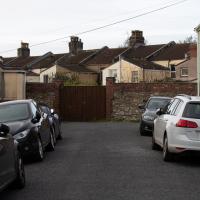
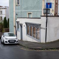
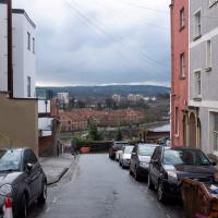
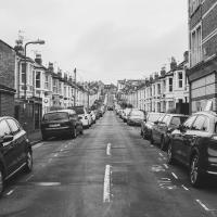
More Cliftonwood
05 Dec 2020
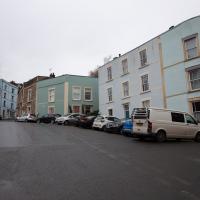
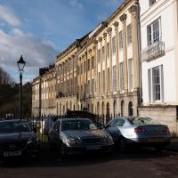
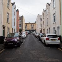
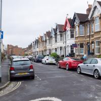
Back to Cliftonwood for a wander that included some of the belle views of Bellevue Crescent and other bits of the easternmost part. Highlights included watching someone bump-starting an elderly Nissan Micra in the narrow confines of Bellevue Crescent.
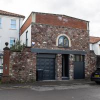
A "bright and airy self contained single storey Freehold studio / workshop (277 Sq Ft)". The floorplan shows that it's basically just a single room with tiny room with a loo and a sink inset, and nothing else. I suppose an enterprising hairdresser or nail technician might be able to make something of it.
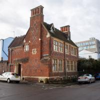
I looked back on the old maps, and found “School Ruins” on the 1947-1965 OS maps layer, then just “School” on a few earlier maps, but then, finally, the 1874 Ashmead map told me enough to track it down: “Clifton National School”.
According to the Clifton and Hotwells Character Appraisal:
In 1835, the Clifton National School was built on the terrace above Hotwell Road and the Clifton Poor-Law Union workhouse on the lower terrace, becoming Clifton Industrial School in 1849; the same year, Hotwell Road was widened. A Training Institute for Females and Domestic Servants in Clifton Wood also appeared in this area by 1860 and by 1901, 53 trades were recorded between Dowry Square to Anchor Road, including 23 pubs…
…Clifton largely escaped widespread destruction during the blitz, though… a bomb also largely destroyed the Clifton National School and Mardyke House School. The lack of bomb-proof shelters in Clifton led to the Clifton Rocks Railway to be used as shelter, which was prepared for occupation in 1940. Throughout the bombing up to 200 spent the night there.
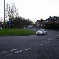
Alma Vale
06 Dec 2020
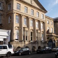
I wasn't really feeling it when I set out today, on my first car-assisted wander. By the time I'd parked on Alma Vale Road in Clifton it was just starting to rain and I picked my way about in quite a desultory way. It felt strange, as I was very familiar with the area because I'd walked through it hundreds of times when I worked at the top of Whiteladies Road, and used to walk up the hill from Hotwells and through Clifton to get there, and back again, every day.
Then a complete coincidence seemed to make the change I'd been hoping for. I was standing taking a photo of Christ in the front garden of All Saints church when a couple of people walked out of the front door. I got talking with a lady I took to be part of the ministerial team, who invited me to come in and look around—something I'd always wanted to do on the morning commute. (I think we connected a bit when I recognised the name John Piper, who did the amazing windows—I learned about him while I was at Warwick, through his connections to Coventry Cathedral.
I left with much more of a spring in my step, wandered around the area a bit more, finally working out that the tennis courts I used to pass every morning are those of Clifton Lawn Tennis Club, and finally grabbing an excellent Hungarian sausage hot dog from the Budapest Cafe. I feel a lot better now than I did before I went out.
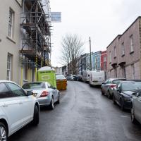
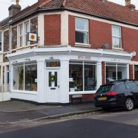
Mark's Bread
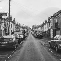
07 Dec 2020
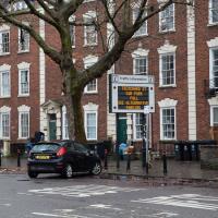
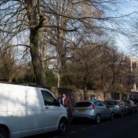
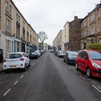
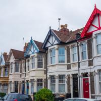
I realised that if Hopper Coffee in Greville Smyth Park was in reach during my lunch hour, then perhaps Mark's Bread at the end of North Street would be do-able, too. And I was right. I also managed to cross Clift Road, with its pretty gable bargeboards, off my list, and encounter a dapper gent walking his dogs while playing loud jazz music from somewhere under his jacket. That's North Street for you.
Pleasingly, a year and a half after I took this picture, Know Your Place Bristol tweeted a World War I-era photo postcard from the archives that has a very similar perspective on the same road (Direct KYP link)
I thought this was especially relevant as the tweet mentions that the road is otherwise unremarkable; the interest is in the fact that someone turned this presumably quite average street scene into a postcard whose image survives today, more than a hundred years later. I'd like to think that someone in a hundred years time might be interested in the quotidian scenes that comprise the vast majority of my little project here. Will this street still be here in a century? Will it still be lined with cars, or will transport perhaps have moved on into a new phase where streets are back how they were in the early 1900s, with no visible cars? (I doubt it, as that would require a massive change of mindset and the provision of decent public transport in Bristol, neither of which seems very likely...)
Gothic Revival
08 Dec 2020
I had a chance to dash down a few new roads during my lunchtime jaunt today. My favourite feature was 7 Wetherell Place, at the corner of Frederick Place, one street behind the University of Bristol Students' Union building. Apparently I'm a sucker for gothic revival, which seems appropriate for this little project, which is reviving my interest in the local area.
The listing starts "1860. By JA Hansom. For himself".
I think when I first drank here, it was called The Richmond Spring. I should've taken more advantage of their comedy evening before Covid came along.
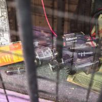
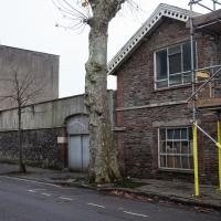
From the little white sign you can't read, they seem to be linked in some way to Automotive Solutions Ltd, who used to occupy the E Edwards building in Alma Vale Road I took a photo of at the weekend.
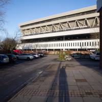
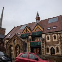
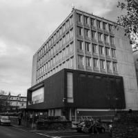
The back of the Union. I've been inside a few times — I had a summer pass to the swimming pool for a while, and I saw Alabama 3 in the Anson Rooms once.
Nowhere New
10 Dec 2020
I didn't have any time to find a new place to go today, so I'm treading old ground here. I did buy a tub of duck food from Amazon last week and today I remembered to take a little bagful of it with me on my trip to Imagine That coffee, and spent a few minutes feeding the marina slipway ducks on the way back. This is a Bristol tradition I've seen other people doing many times, but never tried myself. It was quite genteel until the seagulls cottoned on, then it became something of a brawl.
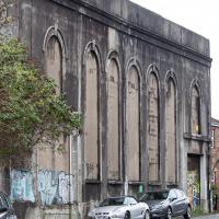
"A dramatic modern space behind a conventional facade; The Underfall Yard electricity substation on Avon Crescent was begun in 1905. It was probably the first reinforced concrete building in the city, and one of the earliest in the UK." — via KYPBristol
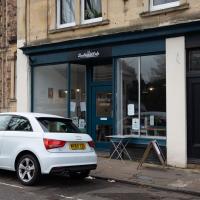
Quick Hopper Coffee
11 Dec 2020
No new streets today—just out for a quick coffee from Hopper in Greville Smyth. Got caught in a bit of a rainstorm on the way out, but it didn't last long enough to bother me much.
Bedminster, Ashton, Ashton Court sunset walk
12 Dec 2020
A walk with Sarah focusing on Ashton and the surrounds, taken on a day with really nice light around sunset. Just what I needed.