Tagged: car
Sunday Afternoon
15 Nov 2020
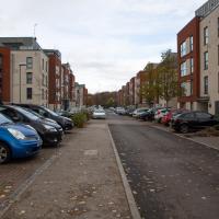
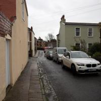
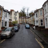
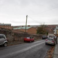
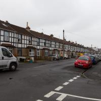
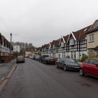
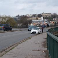
A walk back from Bedminster to my place, mostly down Duckmoor Road, which I found a little dull—probably because it reminded me a little of the suburbs I grew up in on the outskirts of London—then held up slightly by some filming on Ashton Avenue Bridge. They were trying not to let the crowds build up too much in between takes, it seems, so it wasn't a long delay.
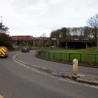
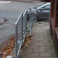
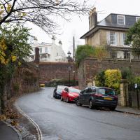
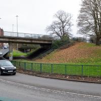
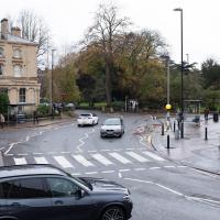
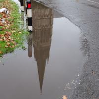
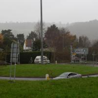
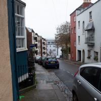
This is a one-way street. Vehicles can only drive up this hill from wehre that silver car is coming around the corner (also a one-way street). How did anyone manage to knock over the railings on the inside of the curve?
Dowry Square Jaunt
16 Nov 2020
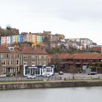
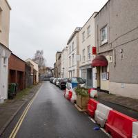
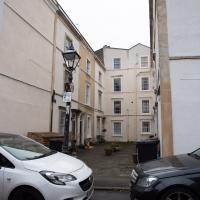
A quick lunchtime jaunt to Dowry Square, which is very close to me but, being effectively a cul-de-sac as well as a square, I've probably only circumnavigated a couple of times in the last couple of decades.
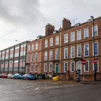
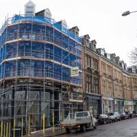
I looked at a flat in the ex-council flats that makes up the far half of this block of the Hotwell Road before finally settling on the more old-fashioned place I live now, not far from here.
Jaunt to a Closed Coffee Shop
17 Nov 2020
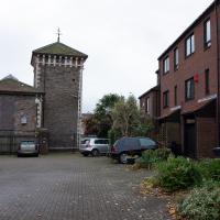
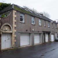
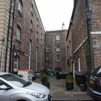
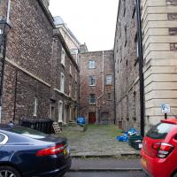
A fruitless wander, as Spoke and Stringer (who I thought might do a decent flat white) were closed, and the only other harbourside inlet offering were a bit too busy to wait at, especially as I'd spent some time wandering some of the convolutions of Rownham Mead. This last congeries of dull alleyways and brown-painted garages was at least somewhere I've never been before, in parts.
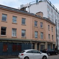
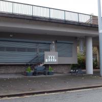
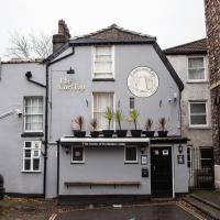
It never look that reputable, even when it was a going concern. Converted to flats in 2001, according to the excellent resource Bristol's Lost Pubs.
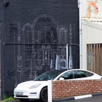
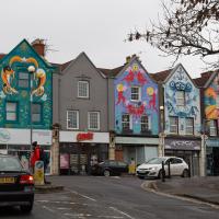
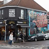
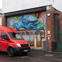
I like this piece. It reminds me of a friend.I should probably try to get a pic of it without a car parked in front. I particularly like the way that along with the more wholesome stuff there's also a drone pizza delivery going on! Apparently that's part of the original art from Silent Hobo rather than a commentary addition by a later artist.
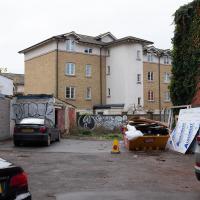
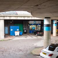
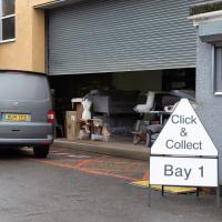
I think it was a quite well-used commercial garage and MOT centre, but as usual I may be being an unreliable narrator.
In which our intrepid hero levels up.
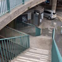
The other way to get to Greville Smyth more quickly from there would be to go up that set of steps, but it would mean vaulting the railings, and I don't really do vaulting.
Clifton Village Mini Wander
20 Nov 2020
Just a quick wander up the hill to get a flat white from Twelve. I really enjoyed the spooky mannequin (?) in the window.
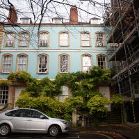
The one nearest is an AirB&B-style rental and looks lovely inside. This is the kind of quirkiness I might aspire to.
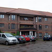
A little retirement housing block sitting at the end of a private road at the end of the Fossway. I've never wandered up and seen it before, though I've walked past it a thousand times.
I wonder how many times I've crossed this zebra crossing, or cut across the road at the little traffic island in the background to get to the diagonal path across Victoria Square?
Bedmo and Ashton Court
21 Nov 2020
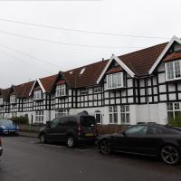
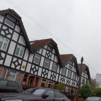
A rather more wide-ranging weekend wander with Sarah and Vik, taking in some mock Tudor bits of Bedmo (I should note that I've subsequently been corrected to "Bemmie", but I'm an outsider and have been calling it "Bedmo" for short for decades...), a chunk of Ashton, a path up Rownham Hill called Dead Badger's Bottom(!), The Ashton Court estate, a bit of the UWE campus at Bower Ashton, and some of the Festival Way path.
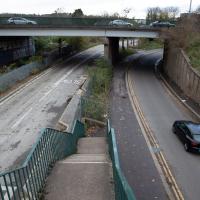
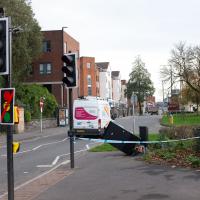
I have no idea how anyone managed to smack this street furniture so hard, or what direction they came from to do it. It's a pretty straight 30mph road right there, and this is only one side of the dual carriageway. Never seen so much as a near-miss there.
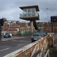
I'm not sure I'd be waiting literally in the road here if my car had broken down. The continual strewing of the pavements on these flyovers with broken bits of cars, vans and lorries, large and small, suggests that smashes are pretty frequent.
Underpass
25 Nov 2020
A quick lunchtime jaunt for coffee. I've often wondered about the dots on the wall of the underpass. Apparently they're not intelligible Braille. Maybe it's Marain :D
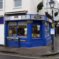
When I first moved to Hotwells, there were still signs for the famous transport caff "Popeye's Diner", a well-known refuelling point for truckers on the way in or out of Bristol. It was also the cafe used for interior shots in some episodes of Only Fools and Horses. You can see it as it used to be in the "Trigger's broom" sketch, for one. These days it's a much posher affair, and they do a very good Eggs Benedict when they're open.
You can see a before/after comparison of how the interior looked when I moved to the area in the 1990s and how it looks now in this shot on Flickr that compares an Only Fools and Horses still with a modern shot.
And Back Down the Hill from the Flu Jab
21 Nov 2020
This is my return from getting my annual flu jab at Christ Church, as explained in more detail in my wander up the hill.
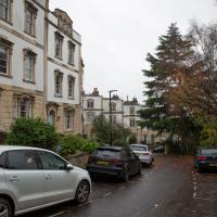
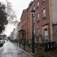
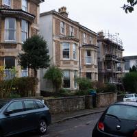
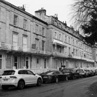
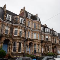
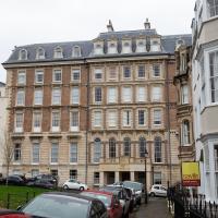
I do love this terrace. The mansard roofs, the grand central house, the ornamentation, the porches. It's all rather grand.
encaustic | ɛnˈkɔːstɪk |
adjective
(in painting and ceramics) decorated by burning in colours as an inlay, especially using coloured clays or pigments mixed with hot wax.
Up for the flu jab
21 Nov 2020
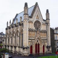
A trip up the hill to get my winter flu jab. I'm not sure I really needed it this year, what with avoiding Covid—I haven't had so much as a sniffle in more than a year—but seeing as they offered... Instead of the doctor's surgery on Pembroke Road, they'd taken over Christ Church, presumably to give more room and ventilation for the necessary social distancing at the moment. As usual, it was their typically efficient operation, and I was in and out in about three minutes.
On the way there and back I snapped as much as I could, but I wanted to be home in time for the first online Times Crossword Championship. As it turned out, I needn't have bothered, as the technology at the Times couldn't keep up with the demand from competitors, and their system just collapsed under the weight of page-views. They tried again the day after, and it collapsed just as badly. Maybe next year...
This wander is split into two parts, as I turned my tech off to go into Christ Church for my jab. The walk home can be found over here.
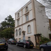
Although it looks like the side of the kind of flats you see everywhere in Clifton Village, the building to the left is actually the Christchurch Recording Studios. Among other artists who've used the studios, two of Massive Attack's number one albums were recorded here, according to this article that sadly but inevitably seems to suggest that the building might be converted into luxury flats soon.
It was originally fitted out as a drama and recording studio by the BBC in the 1980s.
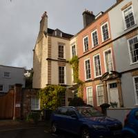
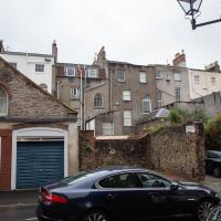
I really like the random scattering of windows on the backs of Bristol's houses, especially the arched ones here.
