Tagged: car
Sequel Injection
07 May 2021
I saw this tweet the other day and started thinking of my second Covid-19 vaccination as my "Sequel Injection" (to a geek, it's funny. You'll have to take my word for it.) Whatever you call it, this morning I went and got it.
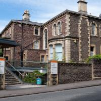
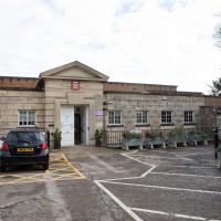
It was in the same place I got my initial injection—my left arm! No, okay, it was at the Clifton College Prep School. I didn't take any photos of the event itself; the NHS production line is so efficient you barely have time to do anything else, even if the privacy of other patients wasn't a factor.
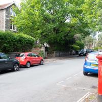
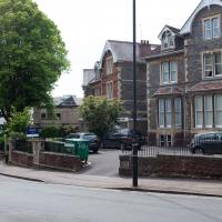
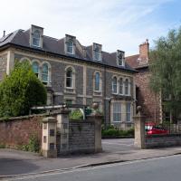
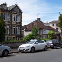
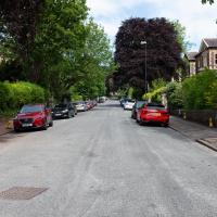
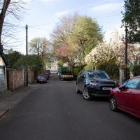
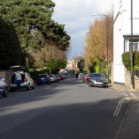
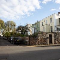
Along the way I mused at all the road resurfacing going on in Clifton, and also discovered a secret (okay, not-well-known and possibly slightly trespassey) way into Canynge Square, and on the way back I knocked off a few streets from my "leftovers list" of north-east Clifton. I've got much of Clifton done now, with the only obvious "to dos" on the east side of Whiteladies Road...
It was quite a long walk, and I'm feeling pretty tired now, though that might be the effects of the jab too, I suppose. Anyway. Tomorrow and Monday I'm walking outside Bristol, I think, and I imagine my feet will need some recovery time on Sunday, so it might be a while before I post another Wander.
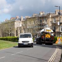
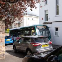
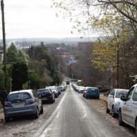
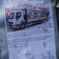
As well as confused van-drivers, the buses weren't having a great time of it, either, having to squeeze down narrow streets like Canynge Road rather than their usual broad avenues. Never seen a traffic jam here before.
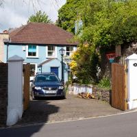
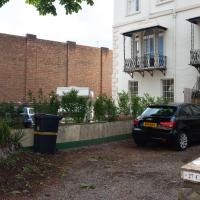
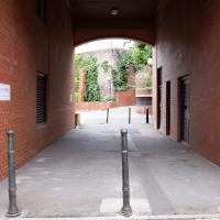
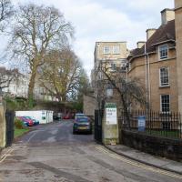
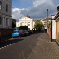
I'd spotted in my Canynge Square researches that there might be a cut-through from a gate I'd seen in previous excursions to the side of the Regrave Theatre.
Told you they were doing a lot of resurfacing.
Here's a related fun fact to go with a dull picture, at least: the "greatest advance in road construction since Roman times" is the process of "Macadamisation": crushed stone bound with gravel on a firm base of large stones, with a camber, raised above the surrounding ground. It was invented by Bristol Turnpike Trust surveyor John McAdam, and was later refined by the addition of tar as a binding agent, giving us tarmacadam, or "tarmac", as we generally call it today.
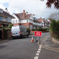
So, basically, this ROAD CLOSED AHEAD sign, due to resurfacing, can be traced back to 1820s Bristol, where the very idea of surfacing roads was invented.
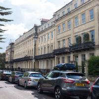
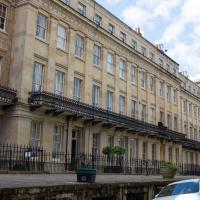
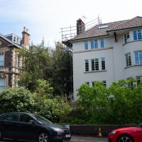
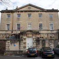
I vaguely remembered having "get better picture of Worcester Terrace" on my "to-do" list, so of course it's got scaffolding up now.
I managed to knock off a reasonable chunk of the roads I had left to walk around the University at the north-eastern extremity of my mile on this nice sunny walk. As well as being impressed by the number of big townhouses now occupied by various departments, I took some time on my way there to check out a war memorial, and some time on the way back to do a little extra wandering of Berkeley Square.
I was just about starting to feel better—the antibiotics seemed to have kicked in for my dental issues, and it had been some days since I'd left the house, and I was at last starting to get itchy feet. So, a wander. But where? Well, there were a few industrial bits near Winterstoke Road in the Ashton/Ashton Vale areas of Bristol that needed walking. I knew they were likely to be quite, well, unattractive, frankly. So why not do them while I wasn't feeling exactly 100% myself? Maybe it would fit my mood. Hopefully you're also in the mood for a bit of post-industrial wasteland, for that's what some of this feels like...
Then, at the last minute, I thought again about the Bristol International Exhibition—I've got a book about it on the way now—and that gave me another goal, which could just about be said to be in the same direction, and I decided to walk significantly further than my normal 1-mile limit and try recreating another historical photo...
Sadly I don't know much about the Ashton area; it's just on the edges of my mile and I rarely have cause to go there. It's brimming with history, I'm sure: the whole South Bristol area rapidly developed from farmland to coal mines to factories to its current interesting mixture of suburbs and industrial work over the last few hundred years. As a more working class area less attention was paid to it by historians, at least historically-speaking, than the Georgian heights of Clifton, and much of it has been knocked down and reinvented rather than listed and preserved. I see here and there some of this lack is being addressed, but I'm afraid I'll be very light on the history myself on this wander, as most of my usual sources aren't throwing up their normal reams of information as when I point them at Clifton, Hotwells or the old city.
Here's the BBC report. This was posted on a telephone junction box in the "Daveside" area, the little strip of Festival Way that's used as a skate park in between the old railway depot and the White City allotments.
This may be somewhere around my actual destination today, though perhaps a little too much toward the east.
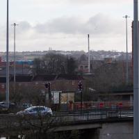
The buildings and green space on the hill in the background are the Knowle West Health Park. I'm pleased to have figured this out by using an OS map and a ruler and projecting a line from where I'm standing through the Tobacco Factory flag that you can just see poking up from Bedminster (you can see it on the corner of the building in this earlier pic](https://omm.gothick.org.uk/image/7175), then looking for densely-packed contour lines further out of town. Very old-school, but it worked!
I'm probably heading in more of a Bedminster Down direction. It's a similarly elevated green space further west, which is hidden behind the bond warehouse on the right in this pic.
This area continues to be blighted with ugly and neglected-looking infrastructure. We're just on the edges of Ashton Vale, which is among the 30% most deprived areas in the country. At the north of my one-mile radius we have Clifton, among the least 20% deprived. Source: UK indices of deprivation.
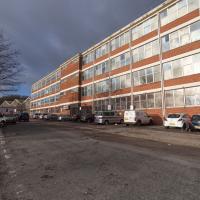
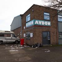
"Hello? Yes, I'd like to order a cubic mile of bland industrial building, please. No, anything'll do."
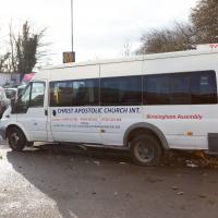
I'd really hope for at least a chartreuse microbus for carrying long-haired friends of Jesus...
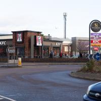
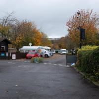
I appear to have walked to a drive-thru KFC. Rookie error. I think the last time I was in a KFC was at least twenty years ago. I have nothing against fried chicken per se; it's just that on the few occasions I've had it since then Miss Millie's has been more convenient.
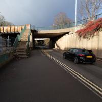
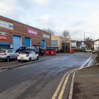
See, there's a reason I've been putting off these roads. I didn't think I'd find much to excite, or that was aesthetically pleasing, and here I am, proved right.
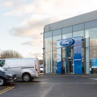
Trust Ford. I came here to look into buying a Fiesta last time I was looking for a new car. Nobody seemed remotely interested in selling me a car, so I went to Dick Lovett instead and ended up with a Mini.
Redpoint climbing centre. Used to be an art deco cinema, apparently. At the far end you can see a sop to that in the style of the CAFE BAR sign. It looks rather swanky and modern inside from the pics on their website.
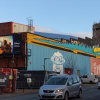
At this end of the building is a giant digital advertising board. I'm with Adblock Bristol on this one, but then I've never been a fan of public advertising.
Library, Bookshop, Coffee
03 Jul 2021
I was headed into town to return RA Gilbert's biography of AE Waite to the library and along the way I noticed that Dreadnought had finished their refurbishment, but wouldn't be open until midday. That left me some time to kill, so I bimbled around the old St Augustine's/Gaunt's area for a while, then headed up Park Street for a coffee and a snack to eat on Brandon Hill before heading home the way I'd came so I could pop in and buy a pamphlet on the Hot Well I'd been interested in for a while.
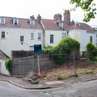
According to the listing, this plot has:
PLANNING GRANTED to erect a DETACHED MEWS HOUSE ( 1743 Sq Ft ) with GARAGE and courtyard garden.
Looks a bit of a tight fit, but it's a nice location and there are very few small whole houses in my neighbourhood, especially not modern ones. Round here it's mostly grand old Georgian stock that's been chopped up into flats, and even the "modern" blocks are getting on a bit.
Location-wise it might be a fair bit noisier than my place, because it's closer to the Hotwell Road and would also instantly become the closest house to Hotwells Primary's playground. On the other hand, unlike my listed building, you'd actually be able to have double glazing and there wouldn't be any immediate neighbours on any side...
I'll be interested to see what the price is like when it eventually gets built.
Up until recently it was just used as an off-street parking spot and always looked rather run-down, so I'm generally in favour of replacing it with a small house.
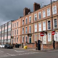
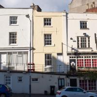
These nearest houses were originally called Chapel Row; they're an extension of the western end of Dowry Square, built 1725-1727. Most of the houses in this area were built from the 1720s onwards as the popularity of the Hot Well caused a demand for lodging space closer than College Green, where people generally stayed before.
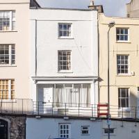
Number 262 here, the closest, is presumably owned by the same people who own the little plot of ground that's for sale, given that it's basically at the end of their back garden.
It was called Chapel Row because a chapel used to stand in the middle of this terrace, long before Carrick House was built at the far end.
On the ever-helpful Church Crawler you can see some pictures of the original chapel Dowry Chapel, and its successor, St-Andrew-the-Less. St Andrew (-the-Greater) was of course St Andrew's in Clifton Village.
Pevsner apparently said of St-Andrew-the-Less:
is an unforgiveable crime against the architecture of Dowry Square and chapel Row. Of no value either in its own Gothic forms. The spire is particularly nasty.
Personally, I thought it looked rather nice, but I'm used to Bristol's jumbletechture. It definitely lasted until c. 1963 as there's a picture of it around then (in the background of the devastation wrought by the demolition to clear the way for the Cumberland Basin Flyover System) in Hotwells - Spa to Pantomime.
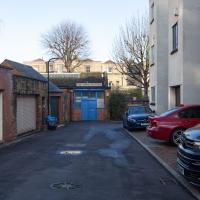
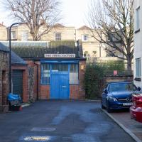
A dull alley, but an interesting number plate, at least. It's SSS 666; I've just checked on the DVLA website.
I had a note in my reminders to look for a "niche in the angle of the corner house of Pipe Lane and Frogmore Street", I think because of a reference in a book I'd been reading. And I have a feeling the book might've been written before this block was redeveloped; I couldn't find any niche. I also can't remember the book it was in, so this little side-trip was something of a wash.
Clifton Hill
23 Nov 2020
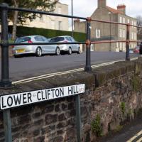
I've just got to the bit in Fanny Burney's Evelina where our eponymous heroine visit a grand house on Clifton Hill during her stay in Hotwells. It was interesting to wonder if it could be any of the places I passed in my lunchtime jaunt, which took in both Clifton Hill and Lower Clifton Hill.
From Evelina (1778):
"Yes, Ma'am; his Lordship is coming with her. I have had certain information. They are to be at the Honourable Mrs. Beaumont's. She is a relation of my Lord's, and has a very fine house upon Clifton Hill."
"From 1851 until 1877 it was occupied by the family of John Addington Symonds (1840-93), Bristol’s most important gay historical figure." — OutStoriesBristol
I went to have a peep at the giant sinkhole that's opened up in Canynge Square—ironically, having recently discovered the gardens were public I'd had the (triangular!) square on my list to re-visit for a few days, but now there's no entrance to the gardens due to the danger. The area was well fenced-off for safety, but I tried to get a couple of photos from behind the barriers.
I also explored the area around Camp Road, an real melange of architectures, one of the most mixed-up areas I've seen in Clifton, in fact, and confirmed my friend Claire's suspicion that an earlier snap of a sign from Manilla Road was in fact for a fire hydrant. Nice.
A homeless guy used to live in that doorway. I don't know if the boarding up coincided with the religious order that used to run Emmaus House as a retreat centre moving to Whitchurch or not...
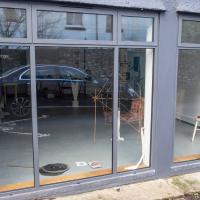
"Is this a... gallery?" I asked the man who coincidentally emerged from a door, out of shot to the left.
"No, it’s just someone’s private place that she lets people use, or..." he tailed off, not really knowing how to describe the place.
An Evening Wander to the Gallows
06 Apr 2021
I'd originally intended just to pop up to the area around Alma Road, where I'd missed a few streets on earlier wanders. It was such a nice evening, though, I decided to extend my walk up to the very top of Pembroke Road, just outside my one mile radius, to take a few snaps of something intriguing I'd found in my researches.
I've driven, walked and jogged past the little triangle of land at the top of Pembroke road a great deal in my time in Bristol, but I didn't know that it used to be the site of a gibbet, in fact that the road itself there used to be called Gallows Acre Lane. According to the Durdham Down history trail, by Francis Greenacre (an excellent name for a Downs researcher!) among other sources:
...it was below this quarry near the top of Pembroke Road, once called Gallows Acre Lane, that a gibbet stood. It was sometimes occupied by those who had committed robberies on the Downs and was last used in 1783 to hang Shenkin Protheroe for the murder of a drover. Stories quickly spread that he descended from the gibbet at midnight every night and stalked through Clifton. Such was the alarm that his body was cut down
and buried.
Also very close to this little triangle of land was one of the gates of the extensive turnpike system...
Anyway. Along the way I encountered a wooden tortoise and a real squirrel, among other things. It was a good walk, and more light in the evenings means I can move my wanders out of the ticking countdown clock of work lunch-hours and be a bit more leisurely.
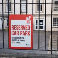
According to Avon Longitudinal Study of Parents and Children:
Children of the 90s is a group of around 14,500 children born in the Avon area in 1991 and 1992. Scientists have been studying them ever since and are constantly making discoveries that make a difference to lives around the world.
Interesting stuff.
I came across this photo of 5 Wellington Terrace back when it was the Gaping Goose, two doors down from the Portcullis, and decided to snap the site as it is today. Interesting comparison!
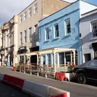
A great fish restaurant, clearly gearing up for some al fresco dining once the lockdown eases up a bit.
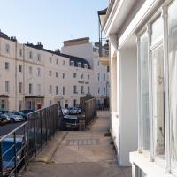
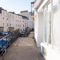
The actual street isn't much to look at. Unusually for Clifton, the front of one terrace stares directly at the back of another.
Well, I suppose that's actually the back of Pembroke Road, but it's on Buckingham Vale.
Catherine Progress
29 Oct 2020
They're refurbishing (by which they seem to mean ripping almost completely apart and rebuilding) the Catherine in Underfall Yard at the moment. I like checking on the progress when I pass by the Patent Slip.
Bedminster
31 Oct 2020
Starting up close in Hotwells with a few bits around the Cumberland Basin flyover system, I walked to Bedminster and back on Hallowe'en, including finding some excellent decoration work.
I like the way I can sometimes make something that seems pretty out of the less-attractive bits of the Cumberland Road Flyover System
Royal York Crescent
02 Nov 2020
I've taken a lot of photos of Royal York Crescent over the years. This time I walked right to the dead-end bit at the far west corner and found a plaque to the Empress of the French. Call me hard to impress, but among the scientists, novelists, architects and artists whose plaques litter the rest of the area, that seems quite minor claim to fame.
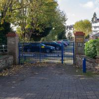
A gated community, apparently. There's a few of these little enclaves in Clifton, often hidden "around the back", as mews always were, I suppose.
