Tagged: road-surface
Morning Walk
08 Jan 2021
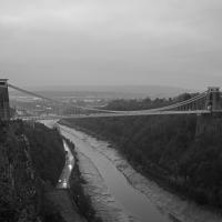
Tempted by a hopeful repeat of yesterday's weather, I got up early this morning and went for a short walk up into Clifton Village, around Observatory Hill, back down the Zig Zag and home. Instead of beautiful and mysterious fog and crisp freezing brightness I got some murk and slight dampness which included witnessing a road-raging van driver and finding that it still wasn't cold enough for the hot well to be even gently steaming when I got down there. I've still never seen it steaming, but I've been told it does, on colder days.
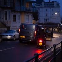
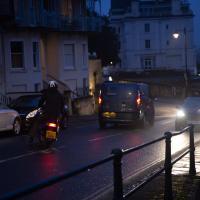
The van driver, who'd nearly driven into the side of the motorcyclist while doing a three-point turn just this side of the blind bend at the top of Sion Hill, became increasingly aggressive in the ensuing "discussion", including pointedly shouting that it didn't matter who was right, because he was in a van and the other man was on a bike, "so who'd be working afterwards?" in the event of a crash.
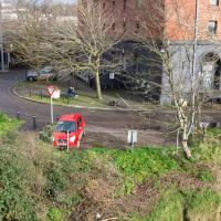
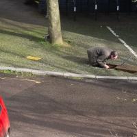
I'd stopped to make sure nothing terrible happened; when he got out of his van, walked right up to the motorcyclist and started shouting in his face, I started walking back towards them, taking the occasional photograph in the hopes that realising his actions were being witnessed and documented might make him think twice about turning physically violent. I don't know whether it helped, whether it was the car coming up behind us, or something else that made him get back in the van. Whatever, he got back in and screamed off far too quickly down the hill.
As you can tell, I didn't have time to change the camera settings. Getting the monopod back unfolded was also not much of an option :)
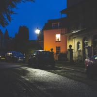
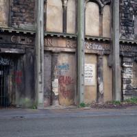
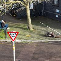
A Bristol tradition. Not quite sure what I was focusing on here, but it was early and dark and I quite like the picture anyway.
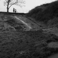
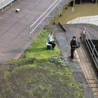
I quite liked the colours and the light, but this photo doesn't really capture the feeling. Ah well.
Mirror Maze
10 Jan 2021
Went for a wander with my friend Lisa—the current lockdown rules seem to be that one local walk for exercise per day with a maximum of one person not in one's "bubble" is fine—up to the University of Bristol area right at the edge of my one-mile perimeter to see the Jeppe Hein Mirror Maze, among other things. On the way we mused about Merchant Venturers, the slave and tobacco trades, and dating in the time of Covid.
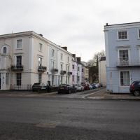
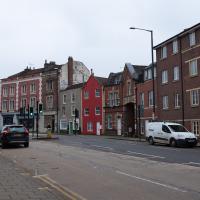
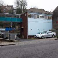
One of the roads I used to walk down regularly on my way home from a job at the top of Whiteladies Road. I used to enjoy cutting through here and crossing through the closed-to-cars bit just around from the Lido at the far end.
The old pump house is just out of shot to the right; next time I go I'll grab a photo of it for completeness. The giant covered reservoir around the back of this is gravity-fed from Barrow Reservoir and then a pumping station here sends it up the hill to the covered reservoir and water tower on Durdham Down.
Later on this wander I took a photo of the covered reservoir itself, so look out for that.
Architectural tidbit:
By local repute, the bungalow at 46 Upper Belgrave Road was owned by BWW and was of reduced height so that the man in charge of the pump at Oakfield Road could see the standpipe and stop pumping when the reservoir was full! — 'To Keep Open and Unenclosed':
The Management of Durdham down since 1861, by Gerry Nichols
I once did a segment on how to photograph lightning from an editing suite at the BBC, which I think was somewhere up there. It was for a programme called Wild Weather of the West, I think, presented by BBC weatherman Ian Fergusson.
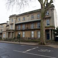
I'm not entirely sure where I was as the BBC complex behind this fairly normal-looking buiilding is actually a very large facility that takes up most of the block behind this road, and has a canteen building, the Points West studio and all sorts. I've been in there a few times, for various reasons, including, improbably, having a Greek lesson with Chris Searle, who himself presented the BBC's Greek Language and People decades before...
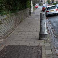
The pillar vents next to double-doored pavement covers are a dead giveaway. Many of Bristol's electrical substations are hidden underground like this. If you're brave enough to put your nose near the vent and inhale you'll get a whiff of hot, dry air with the metallic taint of a large electric transformer.
Northern Clifton
16 Jan 2021
A raggedy wander with my friend Lisa, picking up a few stray streets and venturing only briefly onto Whiteladies Road, where it was too damn busy, given the current pandemic. We retreated fairly quickly. Found a couple of interesting back alleys, and got a very pointed "can I help you?" from a man who was working in his garage in one of the rather run-down garage areas behind some posh houses, and clearly didn't want us just wandering around there.
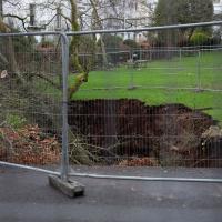
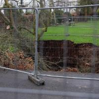
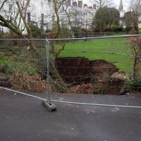
I'm absolutely fascinated by this sinkhole in the Canynge Square garden. I'm not sure why. But every time I'm there there's normally another rubbernecker or three, so perhaps I can take solace in that.
I don't know whether it's the colour or the general cueteness, but Pembroke Mews always catches my eye.
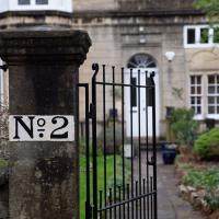
23 Clifton Park. This is so hidden away that it gets its own street sign, which we'll see in a minute.
Birthday Coffee
21 Jan 2021
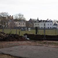
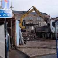
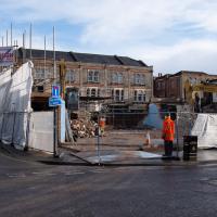
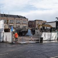
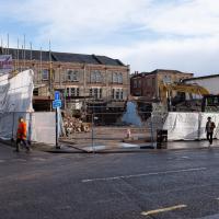
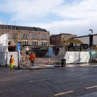
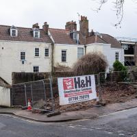
A quick jaunt to Clifton Village to grab a birthday coffee and cake (courgette, lime & pistachio, thanks for asking) from Twelve, and rubberneck at the demolition of the block that used to house the WH Smith, among other things. I remember the Havana Cafe, Mail Boxes Etc (for those who wanted a Clifton postcode without living there?) and others.
Tearing down the old eyesore that used to be a collection of random offices, a cafe, and WH Smith.
Coffee and Graff
22 Jan 2021
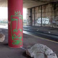
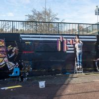
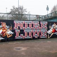
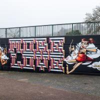
Took myself around the harbour to Imagine That's horsebox cafe and treated myself to a flat white and a sourdough cheese toastie. On the way there and back I encountered some local flooding and various bit of graffiti, from some ugly tagging on someone's front windows to a large new piece being added to Cumberland Piazza in the ongoing attempts to cheer the place up.
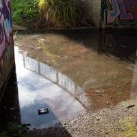
Just deep enough to be practically impassable, even in my waterproof Keens. I've not used this underpass to know if this is a regular occurrence or just the aftermath of Storm Christoph.
This was covered with graff & tags last time I saw it; I don't imagine it'll be long before it is again.
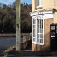
Can't be pleasant to have your house tagged. I don't imagine that anyone living in a house right on an arterial road whose front door opens virtually onto a pllar supporting one of the ugliest street signs of the Cumberland Basin is exactly swimming in money or time to re-paint their frontage, either.
Snowy Leigh Wander
24 Jan 2021
I started this wander with my "support bubble" Sarah and Vik, after Sarah texted me to say "SNOW!" We parted ways on the towpath and I headed up into the bit of Leigh Woods that's not actually the woods—the village-like part in between Leigh Woods and Ashton Court, where I'd noticed on a map a church I'd not seen before. I found St Mary the Virgin and quite a few other things I'd never experienced, despite having walked nearby them many, many times over many years, including a castellated Victorian water tower that's been turned into a house...
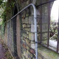
Seems to lead onto a field below the posh houses on Rownham Hill, which I have a couple of snaps of in a mo.
Another Lunchtime, Another Quick Coffee Trip
28 Jan 2021
With very little photography, and no new streets. Still, I did manage to buy milk at the "Simple Cow" vending machine—and "simple" is very definitely false advertising; it took me bloody ages to work out how to use the thing—and snap the new ACER/SEPR piece down in Cumberland Piazza.
This was just a little car park, presumably for the house behind? Probably going to be turned into half a dozed bijou flats, or something...
Unexpected Snow
31 Jan 2021
I just nipped out to post a blood test (not Covid-related) and check that my car was okay, because I've not driven it for weeks. I was just going to walk up to Clifton Village, but I spotted the opportunity to re-park the car on my street rather than up the hill around the corner where it was, so instead I got in, intending just to move a hundred metres, but it turned over slowly before it started, and then warned me that the battery was very low and I should go for a long drive to recharge it.
So, I did my best, zipping up the A4018 to the motorway junction and back again, dropping off my blood at a postbox along the way, and while I did that, it started snowing. I noticed it was low tide, too, so when I got back home I headed back out again, this time on foot and with a camera so I could see if I could find any evidence of the Hot Well steaming.
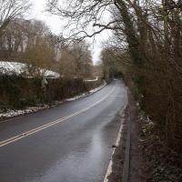
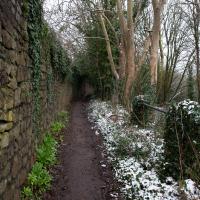
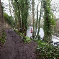
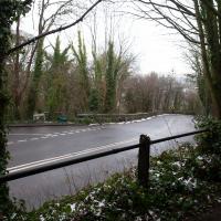
I saw not a single sign of the Hot Well steaming, but it was quite a nice quick outing and I enjoyed my brief walk in the snow. Iike Hinton Lane, too, and while it's all old ground I was re-treading, I did at least get a picture or two with a bit of snow and some of the cold winter atmosphere of the trip, I think.
Jacob's Well Wander
01 Feb 2021
I just wanted to get some exercise, really, so I set out to knock off the lower bit of Jacobs Wells Road that I'd not managed to walk up yet. I set the new signboard that the community association had had erected as my destination, after reading about it on their blog.
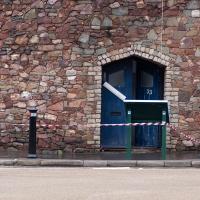
As it turned out, I couldn't even read it, as the building that houses the actual Jacob's Well had water flooding out onto the pavement. I wonder if it was actual Jacob's Well water? Have the soles of my walking shoes been mystically blessed now?
You can't see much of the flood in the photos I snapped, but I did shoot a little video, too. Ed on Twitter said:
I spoke to the seller at the time with a view to buying it - I mentioned an old friend who grew up nearby remembers it flooding regularly. He swore blind my friend was wrong.
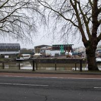
It's a bit higgledy-piggledy, this little stretch that leads to the car park by the Grain Barge mooring. The Thai restaurant at the end was a fusion restaurant called Michael's with an excellent reputation when I first moved to Hotwells. The Thai is great, from what I remember, but I don't eat out very often, not even locally.
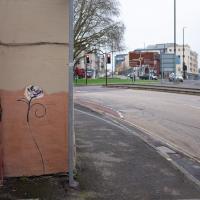
I'm guessing by local artist ©opy®ight, though I may be wrong, of course. Graff's not really my strong point.
Laundry room? I took a guess at that and googled it and apparently there is "a useful communal laundry room", so it seems likely.
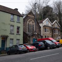
Sandwiched between residences, the Brandon Free Methodist Church is now also, of course, residential. In its time it's been "a Buddhist Centre, a martial arts school, and Bristol Society of Magic."
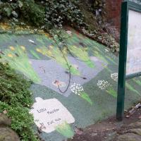
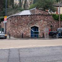
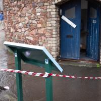
This is what I actually came to see -- the signboard in front of the old Jacob's Well building. Recently refurbished for residential use and sold with a commercial licence for bottling the water. However, the signboard was behind the cordoning-off, because there was water flooding out of the building! Ooops...
This isn't a great photo of the flooding, I admit. I did shoot a little video, too, though.
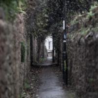
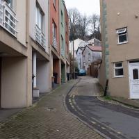
I knew I'd taken a photo here before, but I couldn't remember for the life of me if I'd actually walked up it. Didn't have time to explore today.
Greville Smyth Path Completionism
02 Feb 2021
I needed to get away from my desk at lunchtime, and I saw a little segment of path in Greville Smyth Park that needed knocking off my "to walk down" list, so that gave me a target. Sadly Hopper Coffee's little Piaggio Ape wasn't there to sell me a coffee. I hope Rich is all right, not seen him so far this year.
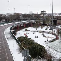
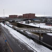
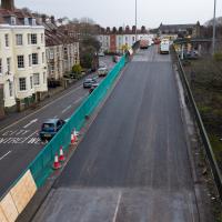
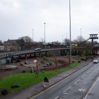
Anyway, a fairly uneventful walk. They're putting new boundary fencing up around Hotwell Primary School (I wandered down Albermarle Row to see what the pneumatic drilling was about), the house on Granby Hill that's been covered in scaffolding and swaddled in protective sheeting has finally been revealed in its cleaned and refurbished form, and they were doing something to the flyover that leads up from the end of the Portway/Hotwell Road to the Plimsoll Bridge. Nothing much else to report.
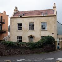
Freshly refurbished, this is the first time I've seen it not covered in scaffolding, and it looks like they've done a sympathetic job. Historic England's listing says:
House. c1790. Stucco with limestone dressings, gable stacks and a pantile mansard roof. Double-depth plan. Late Georgian style. 2 storeys and attic; 3-window range. A symmetrical front has pilaster strips to a moulded coping; semicircular-arched doorway has a plate-glass fanlight and 6-panel door with flush lower panels. 2/2-pane ground-floor sashes with margin panes, 8/8-pane first-floor sashes, the middle one blocked and replaced with a small C20 casement; 2 small raking dormers.
Note the "middle one blocked and replaced with a small C20 casement". You can see it in the picture on the listing website, a weird small modern window in the bricked-up middle of the centre top-floor window. Here, now, it's been restored to match the other two windows and looks a lot better. Nice one.
Lots of work going on at the top of the ramp. Wonder if yet another truck ran into it, or if it's just routine work.
You can't see what's going on at the top of the flyover, but you can certainly tell that there's a lot of work vehicles up there.
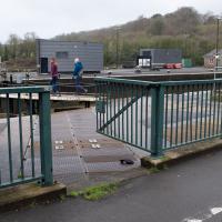
I think this may be the first time I've been able to walk through this gate; normally it's the gate at the bottom of the Plimsoll Bridge spiral stairs that's open. Hopefully this is to reduce the impact of that pinch-point while we're meant to be keeping 2 metres apart, and it'll stay open for the duration.
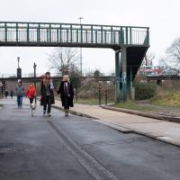
Easy to miss in the previous photo. I didn't have a camera with a zoom lens today. The Fujifilm X100T is a fantastic camera for many purposes, but zooming in on distant details is not one of them.
