Tagged: cumberland-basin-flyover-system
Quick Hopper Coffee
11 Dec 2020
No new streets today—just out for a quick coffee from Hopper in Greville Smyth. Got caught in a bit of a rainstorm on the way out, but it didn't last long enough to bother me much.
Coffee
18 Dec 2020
Another work lunchtime, another expedition to get coffee, but not down any new road. The walk around the haroubourside was nicer than usual, though, possibly because the day was dull and rainy, which stopped the most boring bit of the walk also being crowded.
The most boring bit of the walk is the bit where you can't go through Underfall Yard, closed due to Covid-19, so have to divert through Avon Crescent to the bit of Cumberland Road where there's just a narrow pavement next to a high wall on the one side, and the railings next to the river, where there's no pavement so you generally don't get close enough to it to see much. There would be another option, the Chocolate Path, if it hadn't fallen into the river last year, but the repair work following that landslip is currently making things even worse by forcing a stretch of Cumberland Road into a traffic-light-controlled single-lane system. This means that the narrow pavement is hard to escape as traffic could be coming past right next to you in either direction.
So, narrow, boring, plus it's not just my natural introversion that's causing me not to want to be forced into close contact with other people at the moment, of course. Maybe this will become my go-to coffee place on rainy days, just because there are fewer people on the streets.
Only a couple of photos today, and none of the boring bit, because I didn't know I was going to want to talk about it here until I got home!
To Bedminster
19 Dec 2020
Despite a mild headache, I enjoyed this wander over to Bedminster. The light was lovely, especially toward the end. I always enjoy the view down the streets south of North Street at this time of day/year, with the distant hills backdropping the Victorian terraces.
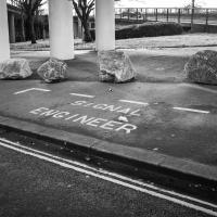
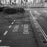
I have to think that if you need a specific parking place marked out for your signal engineer, it might be an indicator that your traffic lights aren't terribly reliable.
Solstice Rain
21 Dec 2020
Despite the weather, Sarah and Vik and I wandered around Ashton Court a bit as the sun rose. Not that you could really tell. Sadly, the bit we wanted to watch the sunrise from was closed, because people hadn't been treating the deer with appropriate respect. Ah well, at least it was some exercise.
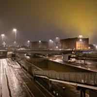
The yellow is the lights of Ashton Gate Stadium. I know nothing of football or its stadia, but it seems a bit odd to leave them on all night.
Tiny Houses, Crocodiles and Views
05 Jan 2021
I didn't really intend to record my walk today, but once I was out and about I couldn't really resist taking some pictures. The sun was lovely, but it was cold...
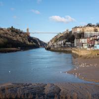
"He liked to take a walk on a Saturday afternoon with Flora for his companion, across the bridge, pausing there to look leftwards at the spreading city far below, the tangled waterways, the warehouses, the ships, the medley of houses and trees lifted to the heights of Upper Radstowe, and on the right where the gorge narrowed, to see the river sluggishly making for the Channel between banks of glistening mud on which was reflected, now and then, the white swoop of the gulls; or, at high tide, to hear the hooting of a siren and watch the ship coming slowly round the bend. It was a scene of which he did not tire for it was never twice alike. The form, the opaqueness, the colour or absence of clouds had their way with it, darkening or lightening the trees on the farther cliff and the splashes of red and yellow rock on the nearer one."
— E.H. Young, Chatterton Square, 1949
I wanted to catch the jogger in the blast of reflected sunshine, and apparently I succeeded.
It wasn't there the last time. Gawd knows where it would have come from; it's not like there's a lot of big retail in Hotwells.
A Little Local Wander
07 Jan 2021
Which included a literal "local", the Pump House, to try out their shop/deli/cafe. A flat white, some apples and a New York Deli toastie. Eleven quid, mind, but the Pump House was never a cheap pub...
I enjoyed the fog, and wandering down a few more out-of-the-way back alleys and what-have-you on the Hotwell Road.
I'm thinking of getting up early and going for a morning walk tomorrow, weather-depending, but at the moment my motivation to do things like this seems to be much strong in the evenings when I'm just thinking about it rather than in the morning when I actually have to do it. But it's going to be cold, and low tide is quite early, so there's always a chance of getting some footage of the hot well actually being visibly hot; you never know...
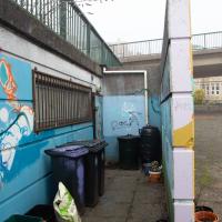
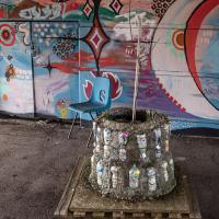
I seem to recall from the community newsletter that when coming to plant trees and flowers and generally make Cumberland Piazza a bit more pleasant, the local team of volunteers found that they had no easy access to a water supply. This is one part of their cunning plan to provide one—see the adjacent phtoo for the other part that feeds the rainwater butts.
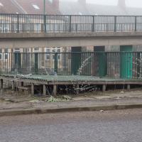
The fake "roof" here is a rainwater collector, complete with guttering, that feeds the rainwater butts for the community gardening efforts in Cumberland Piazza. Neat.
Coffee and Graff
22 Jan 2021
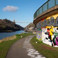
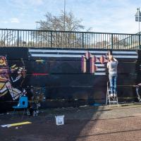
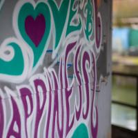
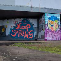
Took myself around the harbour to Imagine That's horsebox cafe and treated myself to a flat white and a sourdough cheese toastie. On the way there and back I encountered some local flooding and various bit of graffiti, from some ugly tagging on someone's front windows to a large new piece being added to Cumberland Piazza in the ongoing attempts to cheer the place up.
This was covered with graff & tags last time I saw it; I don't imagine it'll be long before it is again.
Little Victories
16 Feb 2021
There's a dearth of my favourite coffee places on a Monday and Tuesday at the moment. Both Twelve and Imagine That are closed on Monday and Tuesday, and Rich from Hopper Coffee doesn't seem to have come back from Christmas break. Today I pushed on a bit further than normal around the harbour and got to Little Victories, the always-reliable sister cafe to Small Street Espresso, based at Wapping Wharf. Along the way I saw graffiti, my second reference to one of Bristol's twin cities in two days, and a rather sleek little boat outside Rolt's Boat Yard.
Very Brief Hotwells Wander
18 Feb 2021
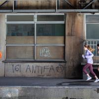
Really just a quick loop of the Cumberland Basin. I was going to go further, and it was a nice early spring day, but I hadn't slept that well and I wasn't really in the mood. Ah well. Not every walk is great. At least I got out of the house for a bit.
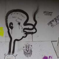
161 is used by Anti Fascist Action as a code for AFA (A=1, F=6, by order of the alphabet), sometimes used in 161>88[3] (88 is code for Heil Hitler among neo-nazis, as H=8)
Picture Postcards, Bikers and Wild Food
25 Feb 2021
I almost didn't bother bringing out my GPS today, but as it turned out I may have knocked off a tiny bit of Baltic Wharf, having been diverted through there on my way back from Imagine That café by finding Cumberland Road closed. Not sure whether it was just some kind of delivery to the roadworks there or if they're surfacing the increasingly-dodgy looking bit of the one lane that's left open...
I also snapped a picturesque view of Cliftonwood, hung out with a biker gang, and found a little something to nibble on growing on the Hotwell Road.
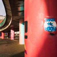
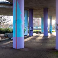
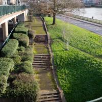
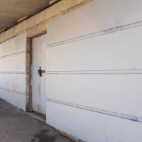
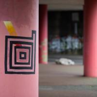
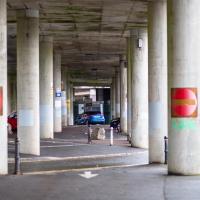
I'm all for the general efforts being made to cheer up the Cumberland Basin in general, but I feel like this particular experiment could have been called a failure.
