Tagged: asphalt
Man on a Mission
17 Apr 2021
I went rather outside my area today, as I went to pick something up from the Warhammer shop on Wine Street (Games Workshop as-was, and before that I think perhaps a rare retail outlet for Her Majesty's Stationery Office? I may be mis-remembering...) Anyway, a friend of mine wanted something picking up and posting to him, so I figured I'd knock some streets off my list along the way.
I first headed for the St George's Road area, walking down the narrow Brandon Steps and finding some strange wall art on Brandon Steep, then headed to the Old City via Zed Alley. The Warhammer shop visit was friendly and efficient, and, mission accomplished, I treated myself to a sausage roll and a flat white from Spicer + Cole, to take away and eat in Queen Square with its current decoration of hearts. I finished off with a detour up Park Street, looking out for St John's Conduit markers, before finally crossing Brandon Hill on the way home.
Quite a long wander, all told, and I'm a bit knackered today...
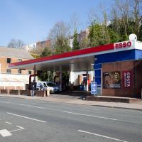
Who was it that decided that petrol stations had to be ugly? It's not like oil companies don't have money...
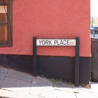
I think the last time I saw this little sign on Queens Parade, it had a rather different message.
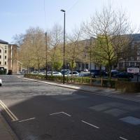
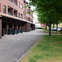
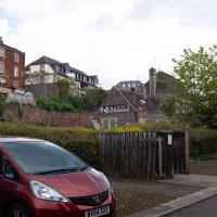
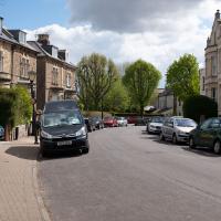
It's unsurprising I've not visited this area in my travels -- it's one of those areas of a city that's basically just a car park.
The Mall Gardens
19 Apr 2021
Just a quick errand to the Post Office to send off Mollog's Mob, but afterwards I bought a flat white and a new plant from Foliage Cafe and headed for The Mall Gardens to enjoy sitting in the sun and reading a book on the first day this year that's been properly warm enough for it. Nice.
The Mall Gardens does actually have some signs up letting people know it's a public garden, but I think it was only my researches for this project that brought the number of public gardens there are in Clifton to my attention, and reminded me that I could make use of this space in Clifton Village, a little closer to the coffee shops and a little more sheltered than Clifton Down.
A New Wander, a New Cafe
21 Apr 2021
Obviously, I was trying to connect to the industrial history of the Canon's Marsh area, to the old gasworks, the docks railway, the warehouses they blew up to make way for all the rather soulless modern stuff (though I do like the Lloyds building, at least.) But what I mostly got out of today's walk is a new cafe to go to for my lunchtime outings. It's perhaps a little closer than both Imagine That and Hopper Coffee; not quite as close as Foliage and Twelve up in Clifton Village, but also not at the top of a steep hill.
No, not the mediocre Costa, but only a little way away from there: Rod and Ruby's, which opened in 2018 and which I've seen in passing several times but never popped into until today. What can I say? I was foolish. Great flat white, lovely interior, astoundingly good cannoli.
Sometimes you just have to get your head out of history and enjoy a pastry.
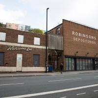
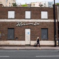
I know very little about the history of these buildings. There's a removals firm called Robinsons with some links to Bristol, and a building in Brimingham with an old sign saying "Robinsons Furniture Depositories", so I suppose it's possible this is a long-defunct furinture repository for a removals firm. Last planning application I can find is from 1998, before I even moved to Hotwells, granting permission to demolish "two storey office building and single storey store", which very much sounds like these two buildings.
The bit on the right still has a sign up saying it's Gnodal and Bioinduction—the firms whose car park is around the back—though Gnodal is defunct and Bioinduction sadly don't have any pictures from the Bristol office on the one-page website.
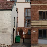
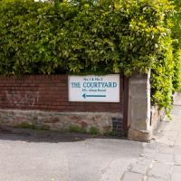
I really must poke my nose in and see if there's anything more than the apparently-tiny couryard back there.
Howard's Lock
27 Apr 2021
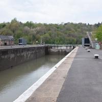
Bits of Entrance Lock have been coned off for ages, mostly the area with the lockkeepers' house on it. My friends Sarah and Vik mentioned at the weekend that it had recently been un-coned, so I wandered that way to cross the outermost lockgates for the first time this year. I don't know whether it's just my mood today or the weather, but it seemed a day for pushing a couple of photos in a more experimental direction in the post-processing...
The last time I noticed this antenna, I wondered if this was some radio amateur's shed. As soon as they renovated it and stuck the rather utilitarian metal doors on the front, I managed to place it: it's an electrical substation. A lot of the local ones seem to have antenna masts; I suppose it's how they do remote monitoring, or something. In my defence, I'm not sure the sign on the gate with the electricity symbol was there before, either.
Canons Marsh Coffee Trip
29 Apr 2021
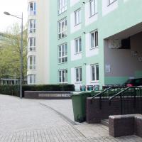
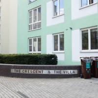
Another quick excursion to Canon's Marsh, tempted back by Rod & Ruby's cannoli and flat white. This time I poked around some bits of the modern flats I'd not really experienced before, mused on the old gasworks, and headed back down the Hotwell Road, spotting a re-opening gallery and finishing off at the Adam & Eve, for which some locals are currently rushing to launch a bid to turn it into a community business rather than have a developer turn it into yet-more flats.
I was in a bouncy, positive mood, helped out by Life Without Buildings' Live at the Annandale Hotel album1. Note to self, though: the album is nearly an hour long, so if you hear the encore starting and you're still halfway down the Hotwell Road, you'll probably be late back from lunch...
1 That review's well worth a read. Music journalists tend to go extra-dreamy when trying to describe Sue Tompkins. See what I mean:
She circles her limber tongue-twisters, feints, and attacks from unexpected angles, dicing and rearranging them with the superhuman brio of an anime ninja and a telegraphic sense of lexical rhythm.
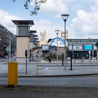
A mirrorball planetarium, an Augustinian cathedral, some underground car park vents, a roundabout, a casino and an exploratory science centre. It's a bit of a mix.
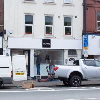
This (and I think the place next door, too) used to be the View Gallery; from the looks of the new sign it's becoming the View Gallery again. Good. Hotwell Road needs a bit of regeneration.
Leftovers with Lisa
01 May 2021
I didn't get to all the little leftover streets around the northeastern part of my area in today's wander, but I definitely knocked a few off the list, plus Lisa and I enjoyed the walk, and didn't get rained on too badly. We spotted the hotting-up of Wisteria season, checked out Birdcage Walk (both old and new), ventured onto the wrong side of the tracks1 and generally enjoyed the architecture.
1 Well, technically we probably shouldn't have been on the grounds of those retirement flats, but nobody started chasing us around the garden with a Zimmer frame
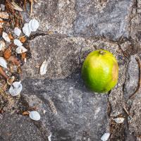
This seemed to augur well, given that we were heading for Lime Walk. This is, oddly, not the first piece of random fruit I've come across unexpectedly on my wanders.
This basement club will be more student flats soon, by the looks of it. Though I actually took this photo to remind myself of a possible plot point for a story I'm writing...
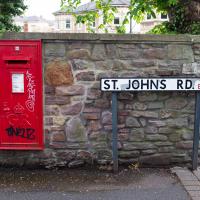
The tiny stretch of Pembroke Road that I'd missed on previous excursion, once going to the left up Pembroke Vale, once to the right up Buckingham Vale.
Aforementioned pub. I've also visited in its former incarnation, Roo Bar, when it had an Australian theme.
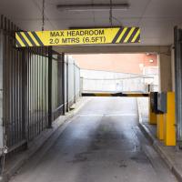
The full version of 1985 cult cyberpunk film Max Headroom: 20 Minutes Into the Future seems to be available on YouTube.
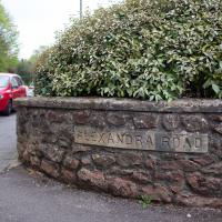
Lisa and I walked past the other end of this little street on an earlier walk. We didn't miss much, apparently.
Victoria Square Underpass
06 May 2021
I'm meant to be taking a little break from this project, but in my Victoria Square researches after my last walk I noticed a curiosity I wanted to investigate. The community layer on Know Your Place has a single photograph captioned, "The remains of an 'underpass' in Victoria Square".
Looking back through the maps, I could see that there really did used to be an underpass across what used to be Birdcage Walk. I can only guess that it was there to join the two halves of the square's private garden that used to be separated by tall railings that were taken away during WWII. Maybe it was a landscaping curiosity, maybe it was just to save them having to un-lock and re-lock two gates and risk mixing with the hoi polloi on the public path in the middle...
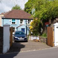
Anyway. Intrigued, I popped up to Clifton Village this lunchtime for a post-voting coffee, and on the way examined the remains of the underpass—still there, but only if you know what you're looking for, I'd say—and also visited a tiny little road with a cottage and a townhouse I'd never seen before, just off Clifton Hill, and got distracted by wandering the little garden with the war memorial in St Andrew's churchyard just because the gate happened to be open.
EDIT: Aha! Found this snippet when I was researching something completely different, of course. From the ever-helpful CHIS website:
When there were railings all round the garden and down the central path, in order that the children could play together in either garden there was a tunnel for them to go through. This was filled in during the 1970s but almost at the south east end of the path if one looks over the low wall the top of the arches can still be seen.
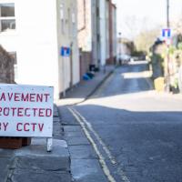
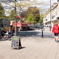
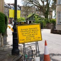
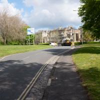
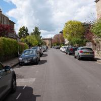
It's resurfacing season in Clifton, it seems. Certainly there've been a lot of cones and warning signs around the place.
Sequel Injection
07 May 2021
I saw this tweet the other day and started thinking of my second Covid-19 vaccination as my "Sequel Injection" (to a geek, it's funny. You'll have to take my word for it.) Whatever you call it, this morning I went and got it.
It was in the same place I got my initial injection—my left arm! No, okay, it was at the Clifton College Prep School. I didn't take any photos of the event itself; the NHS production line is so efficient you barely have time to do anything else, even if the privacy of other patients wasn't a factor.
Along the way I mused at all the road resurfacing going on in Clifton, and also discovered a secret (okay, not-well-known and possibly slightly trespassey) way into Canynge Square, and on the way back I knocked off a few streets from my "leftovers list" of north-east Clifton. I've got much of Clifton done now, with the only obvious "to dos" on the east side of Whiteladies Road...
It was quite a long walk, and I'm feeling pretty tired now, though that might be the effects of the jab too, I suppose. Anyway. Tomorrow and Monday I'm walking outside Bristol, I think, and I imagine my feet will need some recovery time on Sunday, so it might be a while before I post another Wander.
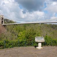
The Fujifilm X100T that I mostly use for these trips is a great camera, but it's also a fixed lens, approximately that of a 35mm focal length on a full-frame camera. So I quite often can't fit in whole buildings, whole terraces, or whole suspension bridges :D
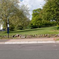
I tried to figure out what this used to be—didn't have a lot of luck, but the next snap is taken from an old OS map showing that this area has been a stand for public transport since long before the modern bus stop here.
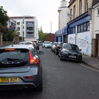
There were a lot of closed roads in Clifton this morning. I watched the white van at the end make its way carefully around the ROAD CLOSED signs at the village end of Observatory Road, drive past me, and get to where you can see it in the distance here before the driver was sent back with a flea in his ear from the workman on "stop the idiots driving through the newly-laid tarmac" duty.
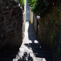
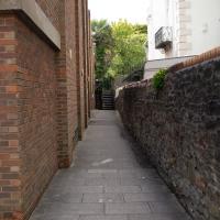
Yup, what I thought led to a back garden or something is actually a strange little cut-through to the back of the Redgrave.
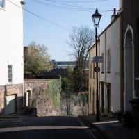
It's not thrilling, but this is the end of the road that I'd missed on previous journeys, so I figured I should snap it. I like the leaning lamp-post with the upright lantern at the top. Rakish.
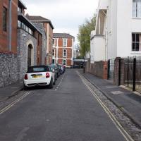
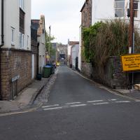
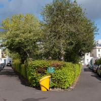
Saw this on the map and realised I might have missed one of those strange little backwater streets that seem oddly prevalent in Bristol.
Whistle Stop Tour Via a Hansom
12 May 2021
I wanted to take another snap of an interesting Gothic Revival place in Clifton, having found out a bit more about the owner. On the way I walked through the Clifton Vale Close estate, idly wondering again whether it might've been the site of Bristol's Vauxhall Pleasure Gardens (I've not researched further yet.) On the way back I knocked off the last remaining bit of Queens Road I had yet to walk and tried to find the bit of communal land that Sarah Guppy bought so as not to have her view built on...
Bocye's Avenue Windows
19 May 2021
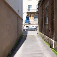
I just nipped up to Clifton Village to get a coffee, though I did manage to walk down a little alleyway I'd not really noticed before. Or perhaps I had noticed it and it looked private, but today I felt like wandering up its twenty or so feet anyway... The reflections in the shop windows on Boyce's Avenue gave me the idea to take a few snaps of them, so that's the majority of my small amount of snapping today.
Well, not now it isn't. The church was demolished (after spending some post-war time deconsecrated as St Andrew's Hall) to make way for flats in 1975. There are some photos of how it used to look on ChurchCrawler.
