Tagged: avon
Pastures New!
17 Jul 2021
Okay, not much in the way of actual pasture to be had in Bedminster these days, like most of Bristol, but I did take advantage of the current rather toasty weather in Bristol to go and sit under a tree in Greville Smyth Park to read a book for a while before firing up the GPS and taking a little detour around some back streets of Ashton and Bedminster rather than going straight to Coffee #1 for an espresso frappé. This is the first walk in a while where I've actually crossed off an entire new street (the frankly unexciting Carrington Road) as well as exploring a couple of back alleys, just because they were there, really. Along the way I spotted a few examples of graffiti of various qualities, including a live work-in-progress by SNUB23 on Ashton Road and the finished Six Sisters project on North Street.
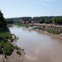
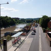
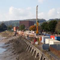
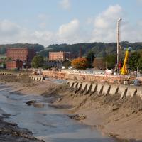
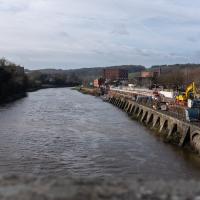
They've not made much progress on repairing the Chocolate Path, sadly, but it seems they've at least got a budget and a green light now.
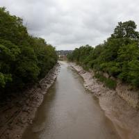
The entire New Cut only took five years to dig out, but on the other hand they had literally a thousand men on the job and I imagine several of them died. Probably have to be a bit more careful these days.
A Long Wander Of Miscellany and Magick
08 Aug 2021
This was a wide-ranging wander. I started off crossing the river to Bedminster, to walk a single little cul-de-sac, Hardy Avenue, that I'd managed to miss on at least one previous walk. Then, pausing only to explore a few back alleyways, I headed for a few destinations related mostly by the Hughes family, who I've been researching a little as part of background for a possible novel, as several of them were involved in the Stella Matutina.
However, mostly it's the artistic side of the family I wanted to explore today, as that's where most of their public history lies (as you might expect, there's often not much in the public record about the workings of an occult organisation.) First I visited College Green, where the façade of the Catch 22 Fish & Chip shop still bears the work of Catherine Edith Hughes. Then I wandered up to the top of Park Street to pop into the Clifton Arts Club's annual exhibition, as Catherine, her half-brother Donald, his wife Hope and at least two other Hugheses were members. Donald was chairman for 40 solid years; Hope was Secretary for eight, and Ellard and Margaret Hughes, two more Hughes siblings, were members along with Catherine.
Finally I walked home with a small diversion to Berkeley Square, to confirm the location of Donald Hughes's house by checking for a particular plaque by the front door.
I must admit I'm not entirely sure where all this research is really leading me, but I'm finding it quite interesting to bump across the faint lines of history that link the Hermetic Order of the Golden Dawn, founded in 1888, to modern, quotidian Bristol.
Fresh Fields
17 Oct 2021
For the first time in a while, I had the time and energy to go further afield and knock off some new roads from my "to do" list. I headed through the first Hotwells Festival to Ashton and Bedminster to cross off a few of the suburban roads south of North Street.
First, though, I decided to try to reproduce an old photo of the now-demolished Rownham Hotel just around the corner from where I live...
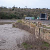
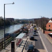
Apparently the repair of the Chocolate Path itself is now underway here. I won't hold my breath. Shame, as it's within my mile and one of my favourite walks and I've had no chance to walk down it since long before I started this little project.
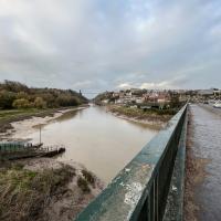
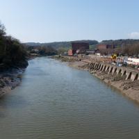
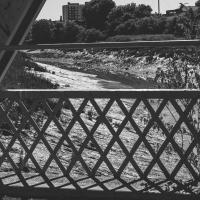
To give you an idea of what it's like down on the path, here's a photo from 2017 from behind where I'm standing on Vauxhaull Bridge here.
Bower Ashton is an interesting little area just south of the river from me—in fact, the Rownham Ferry used to take people over from Hotwells to Bower Ashton, operating from at least the twelfth century to around the 1930s.
It's a strangely contradictory little area, with a cluster of old and new houses sandwiched in between the busy A-roads and significantly more industrial area of Ashton and the bucolic country estate of Ashton court roughly east to west, and also between Somerset and Bristol, north to south.
I've been around here before, mostly poking around Bower Ashton's arguably most well-known bit, the Arts faculty campus of the University of the West of England, but I'd missed at least Parklands Road and Blackmoors Lane, so I initially planned just to nip across briefly and wander down each in turn. On a whim, though, I texted my friends Sarah and Vik in case they were out and about, and ended up diverting to the Tobacco Factory Sunday market first, to grab a quick flat white with them, extending my journey a fair bit.
To start with, though, I nipped to a much more local destination, to see something that you can't actually see at all, the Gridiron...
(I also used this wander as a test of the cameras in my new phone. I finally upgraded after a few years, and the new one has extra, separate wide and telephoto lenses compared to the paltry single lens on my old phone. Gawd. I remember when speed-dial was the latest innovation in phones...)
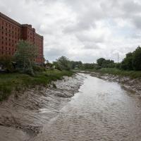
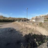
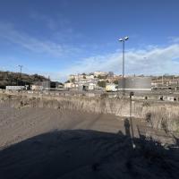
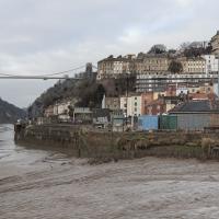
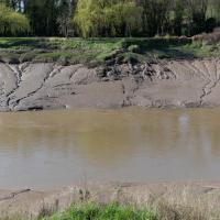
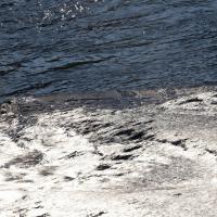
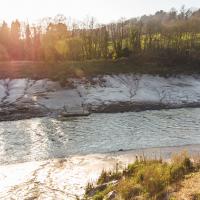
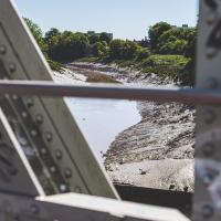
You can't actually see the Gridiron in this photo, but I believe it's still there, under that amazing buildup of silt.
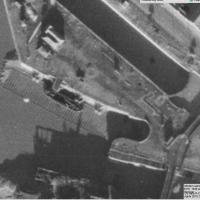
The Gridiron—one of the few photos of it can be seen on the Maritime Mud and Miasma page of About Bristol—was a cheaper alternative to putting your boat in a dry dock. It was a 200-foot long grid (there seems to be some debate over whether the grid itself is actually metal, or in fact timber; I'll have to try to find out), 38 feet wide, nestled here between the north and south entrance locks. A ship captain could sail his vessel over here at high tide, then as the tide gradually receded, the ship—up to 250 feet, as overhanging a bit was apparently okay—would settle onto the gridiron.
At that point an inspection and repair crew could make their way down to the gridiron by ladder and do whatever work they could manage before the tide rose up again.
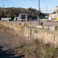
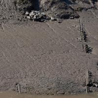
You can still see some ladders in place, I can only presume they were there to get you down to the gridiron, but that is just a guess; information on it seems quite hard to find.
Image from 1946 Aerial layer of KYP Bristol/English Heritage.
As you can see, it was pretty big, and clearly still in use in 1946...
One last snap before we move on. I'm using the wide lens on the iPhone here, and have managed to include a silhouette selfie...
A Constitutional to Burwalls and Back
21 Dec 2021
The recent lack of posts here is mostly due to my feeling very run down following having a couple of wisdom teeth extracted. Having had an emergency appointment yesterday1, hopefully I'll be on the mend now, though it does mean I'm on the kind of antibiotics where you can't touch alcohol for the whole of the Christmas period. I have tried to keep myself a little distracted from the pain by working on the nuts and bolts of this website—you should notice that the front page loads rather faster now than it used to, and that there's a shiny new statistics page that I'll probably be continuing to work on. Oh, and you should find that the tags below the photos are now clickable and will take you to a page of all other wanders that have photos with the same tag.
Today I felt like I needed to drag myself out of the house, but I didn't want to go too far, and I needed to get to the Post Office up in Clifton Village to post a Christmas card (spoiler for my parents: it's going to be late. Sorry.) As luck would have it, idly looking at the map I spotted that I'd missed off a section of Burwalls Road in the past, and that's basically one of the long-ways-round to Clifton Village, crossing the river to Rownham and walking up the hill on the Somerset side before coming back across the Suspension Bridge.
As I was heading for Burwalls Road I decided to make Burwalls itself the focal point of the walk, but unfortunately the mansion grounds are private and the place is hard to snap. Still, at least it gave me a destination. Burwalls was the mansion built by Bristol press magnate Joseph Leech, who I've mentioned before after buying a vintage book he wrote on a previous wander. There's a good article about the house on House and Heritage which has some photos from angles I couldn't ever get to. (Well, maybe with a drone, but it seems like the kind of area where they may be kitted out for clay pigeon shooting, so I probably wouldn't risk it.)
1 My dentist admitted that she probably needed to keep her internal monologue a bit more internal after we started the appointment with her staring into my mouth and immediately saying, "oh, that's weird." These are words one doesn't want to hear from a medical professional.
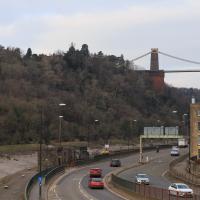
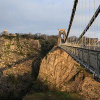
As my plan was to knock off the remaining section of Burwalls Road, my first photo is the small segment of Burwalls itself that you can see from near my house. Burwalls is the mansion on the hilltop, peeping out about halfway from the left edge of the photo and the Suspension Bridge.
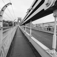
Most every time I cross the bridge, I remember one of the first times I walked over it, back in the late 1990s or early 2000s, when some wag—possibly even Banksy, who knows?—had painted a sign on the footway about here: a rectangle of yellow caution stripes containing the words "WARNING. CONCEALED TRAPDOORS IN OPERATION".
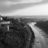
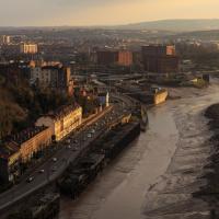
Technically that's still actually the Hotwell Road down there, and it doesn't become the Portway until the Bridge Valley Road junction, but I needed the alliteration, okay?
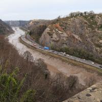
This is the kind of photograph that I really like, but is harder to find appreciation for these days—the Panavision aspect ratio I've chosen, 2.35:1, doesn't play nicely with today's standard media consumption device of a mobile phone held in portrait orientation. Maybe one day we'll all be using the internet through VR headsets and landscape orentation will make a comeback.
Quick Clifton Jaunt Finishing with Southville
09 Jan 2022
It's been pretty dismal recently, weather-wise, so when Sarah called up to say that she and Vik had just left the swimming pool at the student union building up in Clifton, and would I like to join them for a trip to the Last Bookshop, also known as The £3 Bookshop, for reasons you can probably deduce, I leapt at the chance.
Not many photos on this walk, but I did manage to get down a little road I'd never been to before, basically just the access road to a car park at a block of flats, but it was on the map looking all tempting, so I figured I'd knock it off the list as we were passing.
I mostly went out to hang out with my friends Sarah and Vik in Bedminster, but along the way I thought I'd take a closer look at something a little nearer home: the last crossing point of the Rownham Ferry.
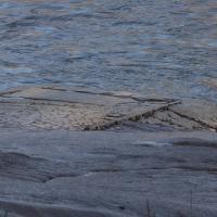
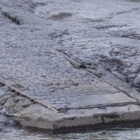
Yes, okay, it's quite the challenge to spot the hand-made historic artifact in this picture. In the next pic I'll zoom in a bit.
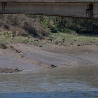
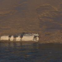
There, hopefully you can see it now—the slipway of the last incarnation of the Rownham Ferry, in use from as early as the 12th century to 1932, when this particular slipway was last used.
There's not much to see at the moment, as the tide's a bit too high. I'm going to head over to the Tobacco Factory Market, meet some friends, do a crossword or two, and head back at lower tide.
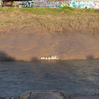
Again, the slipway is easy to miss. I like these little barely-visible curiosities that hide such heritage. The site of the crossing moved around—it's fairly obvious it wasn't right here in the 12th century, for example, because the river was only diverted into the New Cut, which the ferry crosses here, in the early 1800s. Earlier it was further downstream.
Now the tide's lower, we can see the end of the slipway we looked at earlier poking out from the Somerset side. According this article from the Bristol & Avon
Family History Society:
In 1793 the ferry was identified as being used by many passengers to "cross the river at Rownham ferry and walk to the sweet and wholesome village of Ashton to eat strawberries and cream"
At an earlier site, the ferry was mentioned in the Proceedings in the Court of the Star Chamber in the Reigns of Henry VII and Henry VIII after a dispute between a new competitor and the existing ferry, which was run by St Augustine's Abbey. Presumably the crossing was used to get to and from the abbey property at Abbots Pool, which I've actually swum in, from the Abbey, now Bristol Cathedral.
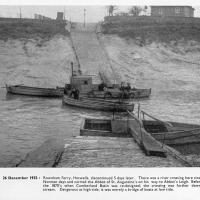
And here's the picture that inspired this little local visit today. A week or so back I was browsing the boxes of books at Rachel's and Michael's Antiques on Princess VIctoria Street, and flipping through their collection of Reece Winstone books. Winstone's famous Bristol As It Was series are an amazing documentary source created by a man who loved both photography and Bristol and effectively became Bristol's foremost documentary photographer for decades. A lot more of Bristol's history is visible today because of him.
In the Bristol As It Was 1939 - 1914 book I saw this picture of the Rownham Ferry. Unfortunately the book was a first edition and priced at £20, so I ordered a cheaper edition from an independent dealer in Stockport when I got home! (Let's consider that as me leaving the rare first edition for the true connoisseurs, rather than just being cheap.)
Here we see the ferry just five days before its closure on the last day of 1932. Looking closely, it seems to be perhaps operating as a reaction ferry, with the boat tethered to a static line across the river, and the ferryman using the rudder to turn the boat and use the power of the flowing water to shuttle the boat from side to side. Clever!
Photo © Reece Winstone Archive. (I recommend buying the books if you like old photos of Bristol. They're amazing!)
Looks like the stones at the bottom corner were replaced with some simple poured concrete with grip lines drawn across it at some point.
A Coffee and a Curve
27 Mar 2022
I wanted to have a wander along to the Tobacco Factory Market for some shopping, and checking the map for any leftover nearby streets I noticed a tiny curve of road on the way into the modern flats at Paxton Drive that it didn't look like I'd walked down before. I wouldn't take me too far out of my way, so I decided to head there first and then across to North Street to get my groceries and a coffee...
Work on the New Cut, this man-made diversion of the river to allow the harbour to float free of the tide, was officially started on 1st May 1804 and finished on 1st May 1809, with something of a party:
On 1 May 1809 the docks project was certified as complete and a celebratory dinner was held on Spike Island for a thousand of the navvies, navigational engineers who had worked on the construction, at which "two oxen, roasted whole, a proportionate weight of potatoes, and six hundredweight of plum pudding" were consumed, along with a gallon of strong beer for each man. When the beer ran out a mass brawl between English and Irish labourers turned into a riot which had to be suppressed by the press gang.
At some point, the Council say that the Chocolate path will finally be repaired and I can at last add one of my favourite paths in Bristol to my One Mile Matt project.
Here's hoping.
Ticking Off a Pocket of Paths in Leigh Woods
03 Jun 2022
I managed to go for a wander a while ago that was meant to finish off a little tangle of paths in Leigh Woods, or at the very least finish off my wandering of the Purple Path there. And I managed to miss doing either of those things through some kind of navigational incompetence.
Today I woke up with a bit of a headache, feeling a bit knackered as soon as I dragged myself out of bed, but at least with the energy to realise that I'd be better off (a) going for a walk in what looked likely to be the last of the Jubilee weekend sunshine than (b) moping around the flat until it started raining, at which point I could mope more thoroughly.
I had a look at my map, considered going to Ashton Court, but remembered that there was a music festival there today, and instead found these little leftovers of Leigh Woods and decided to have one more try at walking them.
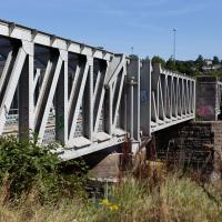
I'm in the habit of going over to the Tobacco Factory Market on a Sunday. I think I've walked all the routes around that way, but as a Plimsoll Bridge swing let me cross the road to the far side of Brunel Way on my return journey and I took a couple of photos of the brownfield development at the old Ashton Gate Depot site I thought I'd call it a Wander and pop some photos up.
I've recently been playing the computer game Life Is Strange, and it's inspired me to get a bit more snappy. The heroine is a photography student, and part of the game is to go around snapping artistic pics with her Polaroid camera. I don't have a polaroid, but the game did inspire me to stick the simple 50mm prime lens on the camera and to trust my instincts on things to snap. This was probably the best result of the day.
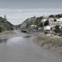
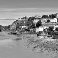
I took two shots from the south side of Brunel Way, a slightly different vantage point from my usual snapping point at the end of Spike Island down below. I'm not sure if I prefer this colour one...
