Tagged: window
Very Brief Hotwells Wander
18 Feb 2021
Really just a quick loop of the Cumberland Basin. I was going to go further, and it was a nice early spring day, but I hadn't slept that well and I wasn't really in the mood. Ah well. Not every walk is great. At least I got out of the house for a bit.
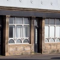
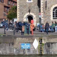
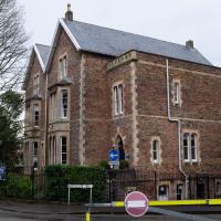
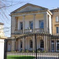
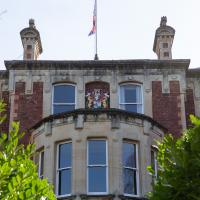
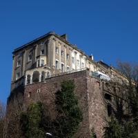
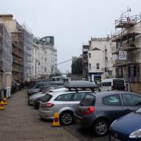
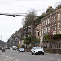
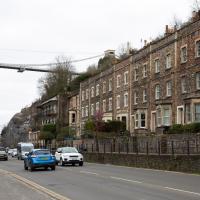
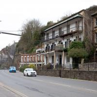
I've not been able to find much detail on this one. It's marked as a public house for a long stretch in the old maps, and on the 1879-1888 town plans named as the York Hotel. I've also seen the names York House Hotel and New Inn associated with it.
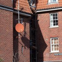
161 is used by Anti Fascist Action as a code for AFA (A=1, F=6, by order of the alphabet), sometimes used in 161>88[3] (88 is code for Heil Hitler among neo-nazis, as H=8)
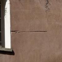
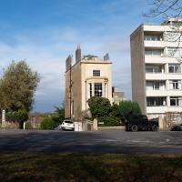
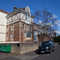
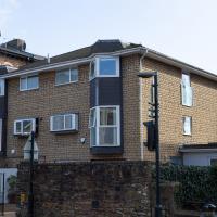
One of the perils of living in this house on the corner of Granby Hill and Freeland Place is that bad drivers in giant trucks that shouldn't be going up or down this hill keep gouging grooves in the side of it.
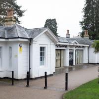
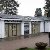
I went to get my first dose of the Oxford/AstraZeneca Covid-19 vaccine today. Handily, the vaccination centre was Clifton College Prep School in Northcote road, next to Bristol Zoo, a road that's just within my 1-mile range that I hadn't visited before.
I parked up near Ladies Mile and tried to find a few of the tracks marked on the map I'm using, but couldn't see most of them. Whether that's just because they've disappeared over time, or with the recent lack of use or waterlogging from the 24 hours of rain we just had, I'm not sure. It was a pretty fruitless search, anyway.
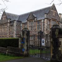
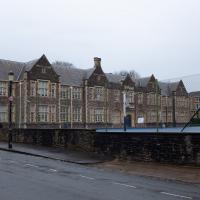
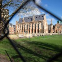
The vaccine shot was virtually the same setup as when I got my winter flu jab back in November, except for the venue. I snapped a couple of pictures of the school while I was there, but I was in and out in five minutes, and you probably don't want to linger around a vaccination centre, I suppose.
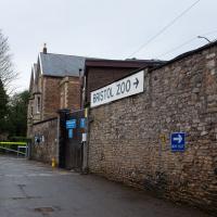
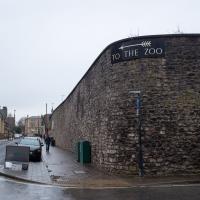
Instead I wandered around the compact block of the Zoo, now sadly scheduled for closure. By coincidence I finished E H Young's Chatterton Square this morning: set in Clifton (fictionalised as "Upper Radstowe") near the Zoo, the occasional roars of the lions that can be heard by the residents of the square (Canynge Square in real life) form part of the background of the novel. The book's set in 1938 (though written and published post-war, in 1947). It seems a shame that the incongruous sounds of the jungle will no longer be heard from 2022. All I heard today were some exotic birds and, I think, some monkeys.
I was told not to drive for fifteen minutes following the jab, so I wandered out of my area up to the top of Upper Belgrave Road to check out an interesting factoid I'd read while looking into the history of the reservoir at Oakfield Road, that the site of 46 Upper Belgrave Road was a bungalow, shorter than the adjacent houses, and owned by Bristol Water, kept specifically low so that the pump man at Oakfield Road could see the standpipe for the Downs Reservoir (presumably by or on the water tower on the Downs) and turn the pump off when it started overflowing. Sadly I couldn't confirm it. There is one particularly low house on that stretch, but it's number 44, and though small, it's two-storey, not a bungalow, so nothing really seems to quite fit in with the tale.
I'm writing this about nine hours after getting the jab, by the way, and haven't noticed any ill effects at all. My arm's not even sore, as it usually would be after the normal flu jab. In twelve weeks I should get an appointment to get the second dose.
The Zoo's been here since 1836. Shame they coudln't hold out until 2036. I wonder if I'll get the chance to go again before they shut down and it all becomes luxury flats?
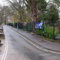
This is a nursery, next to the Prep School, next to Clifton College. You could get all your educational needs for a very long time seen to in a very short radius around here.
This is the "foot" of Northcote road; it has a longer "leg" where the main entrance to the vaccine centre was, but I was a bit early.
Downs Wander
23 Feb 2021
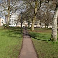
Just a quick trip to knock off a path or two on Clifton Down. I'm not actually convinced I walked down the paths I was hoping to, but I suppose I'll see once I upload this and look at it on the map :)
Today's highlight turned out to be retrospective—looking up Gertrude Hermes' amazing wood engravings when I got home. (By complete coincidence, I was trying to discover the location of the Stella Matutina's former Hermes Lodge in Bristol as part of my researches last night...)
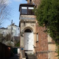
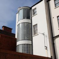
I rather like this tall, thin building. I'm guessing it's a leftover terrace-end from after the Bristol Blitz or similar.
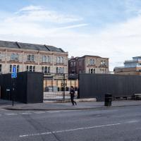
Chances are we'll never see this site levelled again in my lifetime. I'm glad I snapped it last week before the boarding went up.
Picture Postcards, Bikers and Wild Food
25 Feb 2021
I almost didn't bother bringing out my GPS today, but as it turned out I may have knocked off a tiny bit of Baltic Wharf, having been diverted through there on my way back from Imagine That café by finding Cumberland Road closed. Not sure whether it was just some kind of delivery to the roadworks there or if they're surfacing the increasingly-dodgy looking bit of the one lane that's left open...
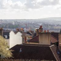
I also snapped a picturesque view of Cliftonwood, hung out with a biker gang, and found a little something to nibble on growing on the Hotwell Road.
It's an unusual shape, the old electricity substation. You can just about tell from this photo that from above it has the rough shape of a grand piano.
It's alleged (by someone, anyway) to be haunted, after a worker fell from the roof into the building, but his body was never found.
A Day Off Wander in Clifton
26 Feb 2021
I'm on the first day of a long weekend, and I certainly picked the right one for it. This may be the first proper spring-like day of the year in Bristol; it was glorious.
I headed up to Clifton, around the area where I got my Covid vaccine jab the other day, to knock off a few remaining roads in that area and because it would be good exercise for an extended lunchtime walk.
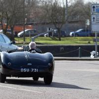
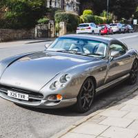
Along the way I saw some very Clifton sights, including an Aston Martin, some Jacobethan architecture, and some private college sports grounds. Mostly, though, I just enjoyed the sunshine, and took every opportunity I could to snap views across the city.
Trafalgar House, Clifton Down. Not to be confused with the one on Sion Hill that I walked past on the way here.
I like the way Gromit peers over the balustrade.
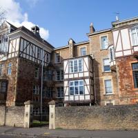
It was the interesting architectural style that first caught my eye on Auburn House here. Apparently "Jacobethan", which means exactly what you'd expect: a mixture of Jacobean and Elizabethan.
I'm glad my friend Lisa joined me today; she drove in from Shirehampton and told me that the Portway was looking rather lovely, so we set off that way. She's also braver than I am when it comes to doing urbex stuff, so this was just the opportunity to take a peek into the Portnalls Number One Railway Tunnel/Bridge Road Deep Valley Shelter whose entrance I'd found on a previous wander.
It was definitely dark and spooky and impressively big, with a side tunnel that Lisa explored that leads to a little door I don't think I've previously noticed on the side of the Portway. I didn't get many photos—even my astoundingly powerful little torch (£) didn't do much to light things up, and you're not going to get much joy hand-holding a camera in that darkness—but I did shoot a little video, which I might edit and add later.
After plumbing the bowels of the earth, we went up Bridge Valley Path to Clifton, explored some bits around the College and Pembroke Road, then came home via Foliage Cafe for coffee. Nice.
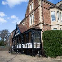
Oakley's House, Clifton College, Percival Road aspect, though technically it's on College Road around the corner. Named for E.M. Oakeley, who was housemaster from 1877-1883, and "...originally opened as a Boys’ House in 1870 but later became Clifton College’s first Girls’ House when the College became co-educational in 1987"
The statue in the centre is Clifton College old boy Field Marshall Haig, the "butcher of the Somme".
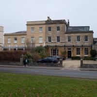
Lisa wasn't a fan. I'd need to know what it felt like inside to be sure. It is a bit of an oddity in the surrounding architecture, though.
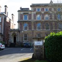
Among other things, it seems this "period office building", owned by construction company Beard, currently houses the Bristol College of Massage and Bodywork, and I could certainly do with some of that right now.
Harbour Circumnavigation
01 Mar 2021
Normally I don't have enough time in my lunch hour to get all the way around the harbourside. This is a shame, as Wapping Wharf is a great place to get coffee and a snack, but it's pretty much diametrically (perimetrically?) opposite me on the harbour. Today I had the day off, so I decided to go and knock off a few streets around Anchor Road that I'd not covered, as well as visiting the site of the Read Dispensary (well, one of them) and dropping into Mokoko for one of their astounding almond croissants. From there I came back along the south side, checking out the views from as much of the Chocolate Path as you can venture down at the moment, and swapping from Cumberland Road to Coronation Road at Vauxhall Bridge.
There's a lot of meh photos on this walk—my chief output from this project could be politely described as "record shots"—but a few turned out well, especially those of Vauxhall Bridge from the Chocolate Path, which reminded me how much of a loss the current closure of the Chocolate Path is to walkers and cyclists in Bristol.
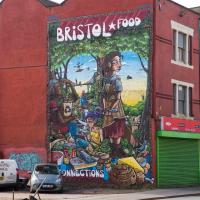
One day I'll get a decent picture of this mural without a sodding car parked in front of it.
EDIT: I never did, and now they've built flats in front of it instead!
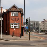
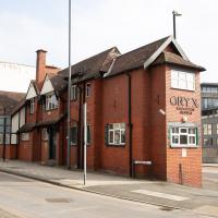
Every time I pass this building on the way into town, it reminds me that I've never read Margaret Atwood's Oryx and Crake. But I was here for a different reason today.
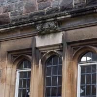
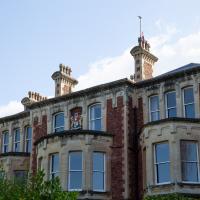
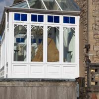
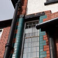
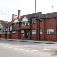
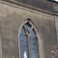
This is the interesting building next door to the Read Dispensary as-was. I've always loved this window. Can't find anything out about from a quick search, though.
Clifton Down Dash
02 Mar 2021
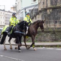
A quick wander up to Clifton Village to wander down a path or two either around Observatory Road that I'd missed out previously. On the way around I took a moment to take in the incongruous 11 Windsor Terrace, smiled at a couple of mounted police, stopped to smell the crocuses, grabbed a coffee in Foliage and came home through the Polygon accompanied by the delightful Spring sound of a woodchipper running at full blast. Nice.
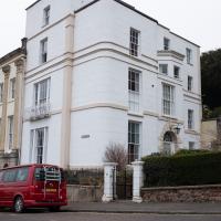
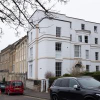
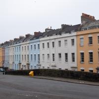
According to the listing, the "attached house" at the end of Windsor Terrace was built c. 1840, about 33 years after the rest of the terrrace was completed. It's interesting, the way it seems to have its back turned to the main terrace. I wonder if there were objections from the people at number ten?
A lot of Scion Hill seems to be scaffolded at the moment. They're taking it down at the Avon Gorge Hotel, though. I think they've been repainting, among other things—the White Lion bar seems no longer to be white.
If the half on the right were there on its own, it would probably look fine. As it is, it seems to be being shown up by the more-recently-cleaned half on the left.
Of Bridges and Buoys
04 Mar 2021
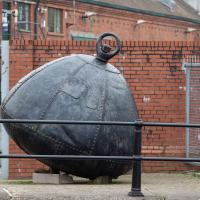
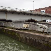
A trip to Imagine That coffee, so no fresh roads knocked off my list, but I stopped off to snap a couple of the engineering-related bits of the docks: the Campbell Buoy (used by P&A Campbell for mooring their paddle steamers) and Brunel's "other" bridge, the foot/horse swing bridge that now sits sadly disused in the shadow of the Plimsoll Bridge at Howard's Lock.
From here it's easier to see the pivot point for Brunel's Other Bridge, and the wheels at this end which would have helped it roll. It weighs about 68 tons, and was originally turned by a hand crank before being converted to hydraulic power like much of the rest of the docks equipment.
You can see an aerial photo of it in place in its "swung" position on the Brunel's Other Bridge website.
I bought a vintage post card from eBay this week. It's a well-known photo of the Hotwells landing stage, showing what's likely to be a P&A Campbell paddle steamer moored there. (Just yesterday I snapped a photo of their buoy on display at Underfall Yard with its information sign.) It was posted from here to Canada in 1936, and has now returned via a presumably quite circuitous route.
Local journalist Maurice Fells (really local—I could probably hit his house with a well-flung teacake from here) notes in The A-Z of Curious Bristol (£) that:
For tens of thousands of people, the pier at Hotwells was the starting point of their day trip as they boarded steamers with names like Glen Avon, Glen Usk and Britannia. The salty tang of the sea was never far away as the steamers headed for Ilfracombe, Weston-super-Mare, Clevedon and Portishead on the Devon and Somerset coast and Barry, Porthcawl and Tenby in South Wales.
The landing stage is long-abandoned. A variety of economic issues, including fuel prices, the increasing prevalence of the motor car, the construction of the Severn Crossing giving easier access to Wales, and the collapse of Clevedon Pier during safety testing in 1970, which prevented larger pleasure boats from stopping at the resort, all led to dwindling trade.
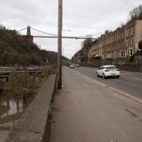
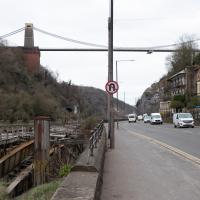
I went to have a poke about there today, not staying for long as it's a cold day and the wind was biting. I couldn't reproduce the postcard's view—you'd need to risk life, limb and presumably a trespass prosecution—but I did try to judge the rough viewpoint and angle of the photo by lining up with Rock House, the Colonnade and the Suspension Bridge and snapped a photo looking back to where the original photographer would have stood on the pontoon.
This Bristol City Docks history page has many good photos of the landing stage and the nearby Port and Pier Railway line (whose tunnel I was in the other day) and the Hotwells Halt railway station, which was just the other side of the suspension bridge from here.
I think this roughly lines up with the viewpoint in the picture. You can just see the suspension bridge stanchion in about the right place behind the tree above the Colonnade.
