Tagged: ashton
A Random New Year's Day Wander
01 Jan 2022
I picked a fairly arbitrary reason for a wander today. Really, I just wanted to do a New Year's Day wander just to get out of the house and to set a precedent for the year to come.
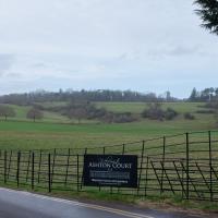
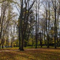
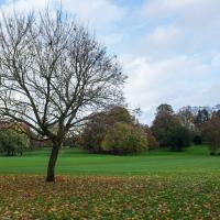
My ostensible reason was to investigate what looked like a road on my map that quartered the lawn in front of the Ashton Court mansion. As it turned out, this is just a muddy footpath/desire line similar to a half-dozen other tracks nearby, and must be some kind of bug or misclassification with the mapping system I'm using, but that's not important. What's important is that I went for a little walk on the first day of the year. As a bonus, I did happen to wander down a couple of sections of new footpath, so technically I broke some new ground too, which is nice.
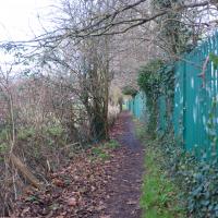
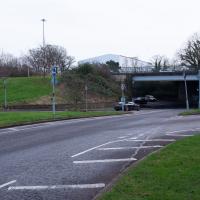
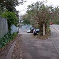
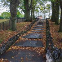
However, it just leads you onto a footpath at the edge of the playing fields I wandered across last time I was in the area. Still, it's nice to know where it goes.
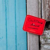
It's quite a dramatic sign, colour wise. Given that it seems to be written in Sharpie on the lid of an old tub and drawing pinned to the post I imagine it's a temporary measure :D
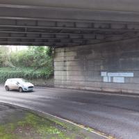
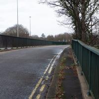
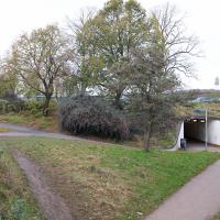
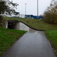
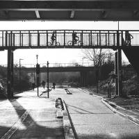
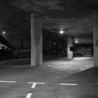
Last time I walked over the top of this I noticed that there was at least a vestige of pavement along the side of the underpass, so given the quiet New Year's Day traffic I figured I'd try getting over there and walking under for the first time in my life...
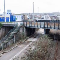
The somewhat unholy trinity of the A3029, the metroBus route and the Portishead branch line. I'm not sure what anyone could do to make this view uglier. Suggestions on a postcard to the council, perhaps?
Bower Ashton is an interesting little area just south of the river from me—in fact, the Rownham Ferry used to take people over from Hotwells to Bower Ashton, operating from at least the twelfth century to around the 1930s.
It's a strangely contradictory little area, with a cluster of old and new houses sandwiched in between the busy A-roads and significantly more industrial area of Ashton and the bucolic country estate of Ashton court roughly east to west, and also between Somerset and Bristol, north to south.
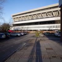
I've been around here before, mostly poking around Bower Ashton's arguably most well-known bit, the Arts faculty campus of the University of the West of England, but I'd missed at least Parklands Road and Blackmoors Lane, so I initially planned just to nip across briefly and wander down each in turn. On a whim, though, I texted my friends Sarah and Vik in case they were out and about, and ended up diverting to the Tobacco Factory Sunday market first, to grab a quick flat white with them, extending my journey a fair bit.
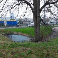
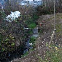
To start with, though, I nipped to a much more local destination, to see something that you can't actually see at all, the Gridiron...
(I also used this wander as a test of the cameras in my new phone. I finally upgraded after a few years, and the new one has extra, separate wide and telephoto lenses compared to the paltry single lens on my old phone. Gawd. I remember when speed-dial was the latest innovation in phones...)
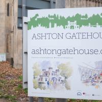
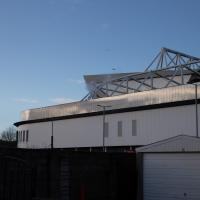
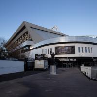
Funny how the architect's drawings of things rarely have the giant busy road next door in them, innit?
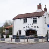
It's got the grazing field at the front and school playing fields at the back, and the road it's on isn't manic. Does this count as a Somerset "country" pub I can walk to?
This used to be called The Dovecote, but was gutted by fire in 2014 and re-opened under the new name the following year.
I love the little details in this piece by Philth and N4T4. — see how it's signed by N4T4 in the hair on the left... It's on the corner of Clift House Road and the bit of Coronation Road that heads toward North Street and has replaced this previous piece.
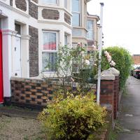
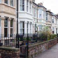
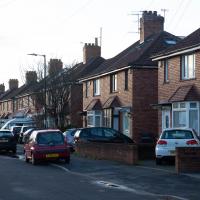
Most of the front gardens on this little stretch retain what's presumably the original garden walls, all rather nicely put together in a chequerboard pattern of bricks.
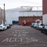
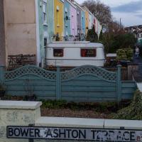
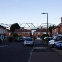
It's a nice little terrace, but given that it backs onto the city ground, I'd imagine you have to be a football fan to really enjoy it here.
At this point I've already abandoned my original plan of heading straight to Parklands Road, as some friends had texted me to say there were at the tobacco factory market and would I like to join them for a coffee? Best laid plans, so forth...
Okay, diversion to Tobacco Factory for a flat white complete, now it's time to figure out how to find Blackmoor Lane or Parklands Road from this direction.
Trying to get somewhere around here is a bit like following the White Rabbit, except when you pop back up again there's more industrial estates and fewer hookah-smoking caterpillars.
“Cat: Where are you going?
Alice: Which way should I go?
Cat: That depends on where you are going.
Alice: I don’t know.
Cat: Then it doesn’t matter which way you go.”
Bedminster, Ashton, Ashton Court sunset walk
12 Dec 2020
A walk with Sarah focusing on Ashton and the surrounds, taken on a day with really nice light around sunset. Just what I needed.
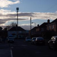
Fury as huge phone mast is erected without planning permission just a few feet from residents' homes, according to the Evening Post.
Greville Smyth
28 Oct 2020
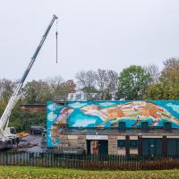
Popped out for a coffee in Greville Smyth park, and got a view of the Andy Council work on the side of the Ashton Avenue sewage pumping station on the way back.
Misty Walk
30 Oct 2020
Something of a misty start took me around the viewpoint at the end of Spike Island and then on to try to find a new way into Greville Smyth Park. I got lost.
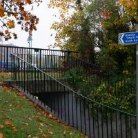
This sign alleges that this underpass leads to Greville Smyth Park. From the Hotwells direction it basically leads back where you came from, or onto a four-lane flyover with no place to cross.
Bedmo and Ashton Court
21 Nov 2020
A rather more wide-ranging weekend wander with Sarah and Vik, taking in some mock Tudor bits of Bedmo (I should note that I've subsequently been corrected to "Bemmie", but I'm an outsider and have been calling it "Bedmo" for short for decades...), a chunk of Ashton, a path up Rownham Hill called Dead Badger's Bottom(!), The Ashton Court estate, a bit of the UWE campus at Bower Ashton, and some of the Festival Way path.
It used to be a garage. My friends Sarah and Vik tell me that it was a much, much grander building before succumbing to modernisation, at which point only a couple of details like this were preserved.
To Bedminster
19 Dec 2020
Despite a mild headache, I enjoyed this wander over to Bedminster. The light was lovely, especially toward the end. I always enjoy the view down the streets south of North Street at this time of day/year, with the distant hills backdropping the Victorian terraces.
Solstice Rain
21 Dec 2020
Despite the weather, Sarah and Vik and I wandered around Ashton Court a bit as the sun rose. Not that you could really tell. Sadly, the bit we wanted to watch the sunrise from was closed, because people hadn't been treating the deer with appropriate respect. Ah well, at least it was some exercise.
Another Day, Another 50 Metres
29 May 2021
I met my friends Sarah and Vik at Riverside Garden Centre today; I needed to buy some compost for repotting my wildly-overgrowing aloe vera, and I went a little bit out of my way to knock off a stretch of Ashton Road. It was a pleasant enough walk in the surprisingly warm (and surprising-not-tipping-it-down-on-a-Bank-Holiday-weekend) weather.
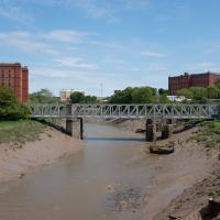
It looked pretty amazing back in the day; it was a double-decker swing bridge with a control tower raised over the swing point. Here's another old snap, this one from a more similar viewpoint to mine.
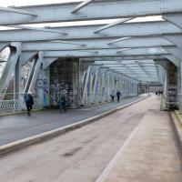
When I moved to Hotwells, it was a pedestrian-only bridge, though one half of it still had the overgrown rail tracks from when it was a bottom-deck railway and top-deck road bridge. Since then it's been refurbished and is now combined pedestrian and Metrobus, with a guided channel for the buses. Amusingly, when it was first put in, they managed to make it too narrow for the buses. In fact, it's closed right now for "works on the guideway" so presumably they're still having problems.
Bank Holiday Street Art
31 May 2021
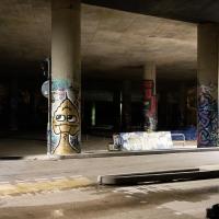
A nice warm Bank Holiday Monday saw me walk back over to Bedminster to do justice to something we glimpsed on my last wander. Along the way I spotted a couple of new pieces of street art tucked away on the south side of the Cumberland Basin Flyover system, so this turned into a micro-graffiti walk.
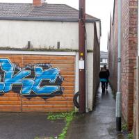
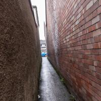
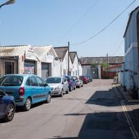
We'll get to my main reason for coming here in a minute, but for now let's just have a little poke around this semi-industrial, semi-residential alleyway.
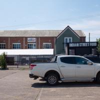
I imagine I've seen the stall there at places like the Tobacco Factory Market, but I've got a terrible memory for things like that.
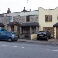
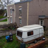
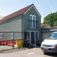
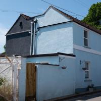
Apparently this is 34 Baynton Road. Looks like just a tiny, isolated house, stuck in a very odd little corner.
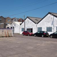
It used to be an Auction Rooms, for both Dreweatts and BCVA, from what I recall. I went to my very first auction there, in fact, back when I had a year of "Artist Dates" in 2013.
I should start doing those again, now we're (hopefully) going to be able to go places more freely again.
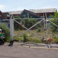
I imagine this derelict site would be worth quite a lot. Odd that it's just sitting there mouldering.
Set back behind the shops on the main road is this little pair of houses. All well-kept and tidy, and not quite as odd a place to be as the one that's isolated in the car park behind them, but still quite a strange location.
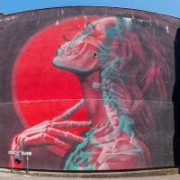
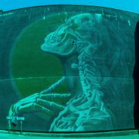
Insane51 is a Greek artist who painted this magnificent piece at Upfest 2018.
As well as being great per se, it's also carefully designed so that if you put on a pair of 3D glasses, you'll see the skeleton in one eye, and the woman "in the flesh" in the other. Allow me to demonstrate...
