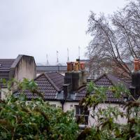
Tagged: onemilematt
Gothic Revival
08 Dec 2020
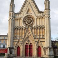
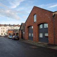
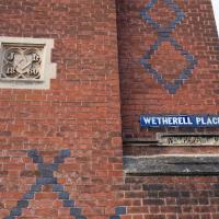
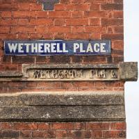
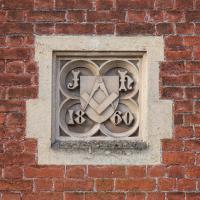
I had a chance to dash down a few new roads during my lunchtime jaunt today. My favourite feature was 7 Wetherell Place, at the corner of Frederick Place, one street behind the University of Bristol Students' Union building. Apparently I'm a sucker for gothic revival, which seems appropriate for this little project, which is reviving my interest in the local area.
The listing starts "1860. By JA Hansom. For himself".
It was looking particularly splendid today, but I still couldn't be bothered to climb the steps to the place you can take more of a square-on photo.
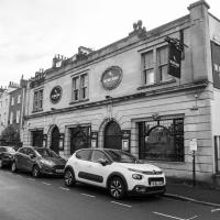
I think when I first drank here, it was called The Richmond Spring. I should've taken more advantage of their comedy evening before Covid came along.
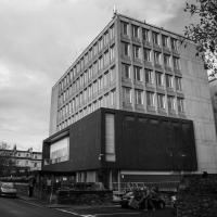
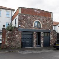
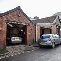
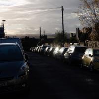
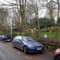
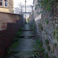
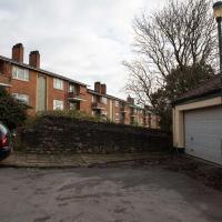
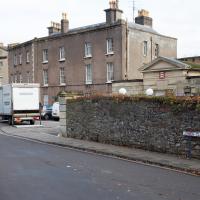
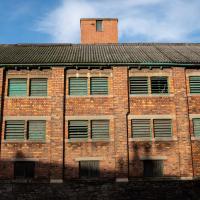
This is one of those streets you don't really go down unless you have a reason, which is why I always forget there's a busy garage right here. The nearest building seems to be offices, but I don't know if they're connected to the garage.
From the little white sign you can't read, they seem to be linked in some way to Automotive Solutions Ltd, who used to occupy the E Edwards building in Alma Vale Road I took a photo of at the weekend.
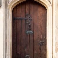
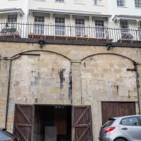
Apparently he built this gothic revival pile (which I love) for himself. Presumably he was a stonemason.
Quick Hopper Coffee
11 Dec 2020
No new streets today—just out for a quick coffee from Hopper in Greville Smyth. Got caught in a bit of a rainstorm on the way out, but it didn't last long enough to bother me much.
Bedminster, Ashton, Ashton Court sunset walk
12 Dec 2020
A walk with Sarah focusing on Ashton and the surrounds, taken on a day with really nice light around sunset. Just what I needed.
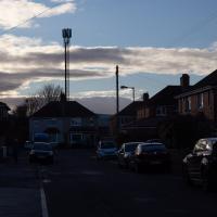
Fury as huge phone mast is erected without planning permission just a few feet from residents' homes, according to the Evening Post.
Rainy Clifton
13 Dec 2020
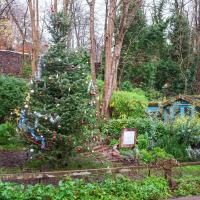
A long walk around Cliftonwood and Clifton with my friend Lisa, taking in some of the 12 Days of Christmas display at Queens Parade, picking up a take-away coffee from Pinkmans of Park Street, and poking our heads up against the glass of SS Peter and Paul Catholic Cathedral.
I wish I'd nailed this shot, but it drifted out of my reach a bit too quickly.
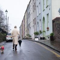
"She said the man in the gabardine coat was a spy..."
Cliftonwood and Clifton Village Lunchtime Stroll
14 Dec 2020
The lunchtime walk has been feeling a bit of a chore lately, especially as I only have an hour and have to keep a mental watch out for my "bingo" point or risk being late back. Today I went for a deliberately brief local walk and got home in time to have lunch on my sofa rather than while I was back at work.
It's interesting filling in the gaps in my Clifton Village knowledge, especially starting to "see" the bits I can't see, the negative spaces. The size of both Fosseway Court and the Bishop's House gardens (check out the latter on Google Maps for an idea) are both something I've noticed by just getting to know the areas around them. I may also have to walk into the driveway of the very well-hidden Nuffield hospital to get an idea of how big it is.
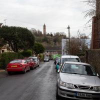
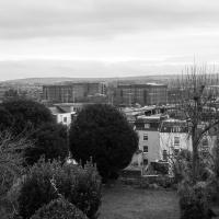
None of those are anything compared to the trick of hiding the gargantuan public school that is Queen Elizabeth's Hospital so well that I keep on forgetting it's there, until a glimpse of it from somewhere like Lower Clifton Hill reminds me about it, of course...
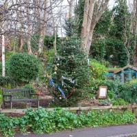
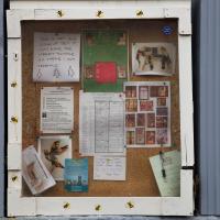
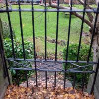
Unlike the similar photo I took yesterday, this one doesn't have camera shake, but it's still remarkably difficult to communicate how charming the Cliftonwood Community Garden is without just being there.
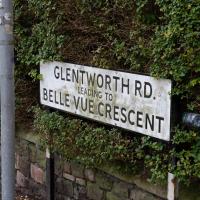
Generally "Belle Vue" transitions gradually into "Bellevue" over time, it seems, but some holdouts remain
I'd only heard of the Siege of Lucknow through cryptic crosswords. Don't @ me, I'm not a historian.
Drained Basin
15 Dec 2020
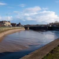
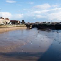
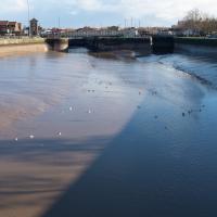
On the down side, I got to Bedminster and found long enough queues at both Mark's Bread and Hopper Coffee that I gave up on the idea of buying a drink and a pasty (from the former) or a mince pie flapjack (from the latter.) On the up side, I got to take some pictures of Cumberland Basin being drained and sluiced out, part of its regular maintenance cycle.
Unusually for the Ashton Avenue Bridge, this artwrok seemed to involve wooden pieces as well as just paint.
Clifton Hill
23 Nov 2020
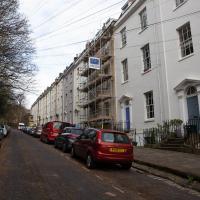
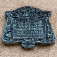
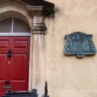
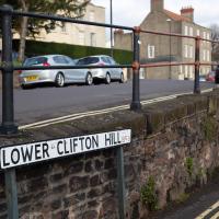
I've just got to the bit in Fanny Burney's Evelina where our eponymous heroine visit a grand house on Clifton Hill during her stay in Hotwells. It was interesting to wonder if it could be any of the places I passed in my lunchtime jaunt, which took in both Clifton Hill and Lower Clifton Hill.
From Evelina (1778):
"Yes, Ma'am; his Lordship is coming with her. I have had certain information. They are to be at the Honourable Mrs. Beaumont's. She is a relation of my Lord's, and has a very fine house upon Clifton Hill."
Gardens and Cottages
17 Dec 2020
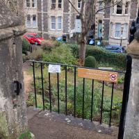
I think the cute little Duncan Cottage was my favourite bit of this wander up the hill to get coffee and a pain-au-raisin from Twelve, though I did enjoy gently musing on the public and private gardens of Clifton, inspired by a closer pass than usual to Royal York Crescent's garden.
I managed absent-mindedly to clear my GPS track before saving it, so this hand-created track-log may cause me problems in the future. I suppose we'll see.
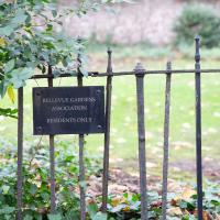
I imagine you have to live in the street to subscribe. But this got me looking up public and private gardens in Clifton and i came across CHIS's fascinating page listing many (all?) of them. I'm surprised that the garden in the very exclusive-feeling Canynge Square is actually public and maintained by the council plus a residents' garden committee. It felt very private when I was there at the weekend. I may have to go and site and read a book there just for the sake of it, one day.
Coffee
18 Dec 2020
Another work lunchtime, another expedition to get coffee, but not down any new road. The walk around the haroubourside was nicer than usual, though, possibly because the day was dull and rainy, which stopped the most boring bit of the walk also being crowded.
The most boring bit of the walk is the bit where you can't go through Underfall Yard, closed due to Covid-19, so have to divert through Avon Crescent to the bit of Cumberland Road where there's just a narrow pavement next to a high wall on the one side, and the railings next to the river, where there's no pavement so you generally don't get close enough to it to see much. There would be another option, the Chocolate Path, if it hadn't fallen into the river last year, but the repair work following that landslip is currently making things even worse by forcing a stretch of Cumberland Road into a traffic-light-controlled single-lane system. This means that the narrow pavement is hard to escape as traffic could be coming past right next to you in either direction.
So, narrow, boring, plus it's not just my natural introversion that's causing me not to want to be forced into close contact with other people at the moment, of course. Maybe this will become my go-to coffee place on rainy days, just because there are fewer people on the streets.
Only a couple of photos today, and none of the boring bit, because I didn't know I was going to want to talk about it here until I got home!
To Bedminster
19 Dec 2020
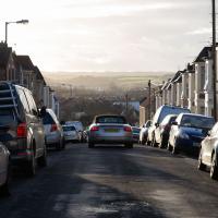
Despite a mild headache, I enjoyed this wander over to Bedminster. The light was lovely, especially toward the end. I always enjoy the view down the streets south of North Street at this time of day/year, with the distant hills backdropping the Victorian terraces.
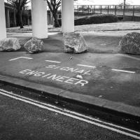
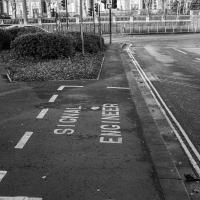
I have to think that if you need a specific parking place marked out for your signal engineer, it might be an indicator that your traffic lights aren't terribly reliable.
