Tagged: cloud
A Swing of the Plimsoll Bridge
24 Apr 2022
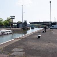
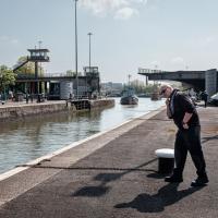
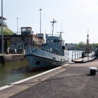
I was originally going to head over to the Ashton area to see if I'd missed any bits around the football stadium—and also to grab some lunch from the Tobacco Factory Market—but in the end I got a little distracted by having accidentally chosen exactly the right time to see the Plimsoll Bridge swing on one of the first busy days of Spring, where a lot of pleasure trips tend to head out down the Avon (and possibly the New Cut) from Hotwells.
In the end I mostly snapped that, and just a couple of photos from the Ashton area where I grabbed some lunch but didn't do any new exploring.
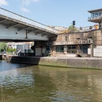
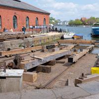
The Plimsoll Bridge is definitely not the oldest swinger in town. In fact, it may be the youngest swinger in town. I think the only other functioning swing bridges on the floating harbour (side-to-side rather than up-down like Redcliffe Bascule) are Junction Bridge (hidden in this picture, it's on the far side of the Cumberland Basin, carrying Merchants Road) and Prince Street Bridge, built in 1925 and 1879 respectively. The Plimsoll Bridge is mid-1960s.
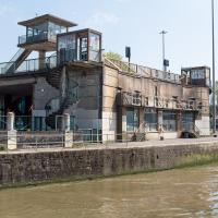
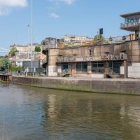
You don't often see this view of the brutalist bridge abutment, because the bridge itself is normally blocking and overshadowing the view here. Excuse me while I take far too many photos of it to be healthy.
I've always particularly liked the spiral staircases and the control tower, which looks like it's escaped from a prison camp.
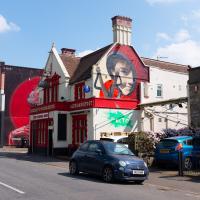
Pikto's piece on the side of the Coopers Arms was looking particularly eye-catching in the sunshine...
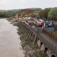
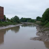
...as I look hopefully down the river to see if there's a single sign of the Chocolate Path re-opening, as I have done dozens, possibly hundreds of times over the last several years...
Ticking Off a Pocket of Paths in Leigh Woods
03 Jun 2022
I managed to go for a wander a while ago that was meant to finish off a little tangle of paths in Leigh Woods, or at the very least finish off my wandering of the Purple Path there. And I managed to miss doing either of those things through some kind of navigational incompetence.
Today I woke up with a bit of a headache, feeling a bit knackered as soon as I dragged myself out of bed, but at least with the energy to realise that I'd be better off (a) going for a walk in what looked likely to be the last of the Jubilee weekend sunshine than (b) moping around the flat until it started raining, at which point I could mope more thoroughly.
I had a look at my map, considered going to Ashton Court, but remembered that there was a music festival there today, and instead found these little leftovers of Leigh Woods and decided to have one more try at walking them.
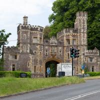
While my main target is Leigh Woods, I do also want to nip into Ashton Court and walk a little path I missed last time I was in the field with the little steam railway in it, so to the gatehouse we cross...
There was actually a gatekeeper today, as it's the weekend of the Love Saves the Day festival, being held at Ashton Court for the first time this year, I think. Happily, as long as you just want to walk a stretch of the grounds away from the festival site, they just wave you in. I wanted to walk a footpath behind the railway track I walked past back in...gosh! November 2020. I've been doing this a while, haven't I?
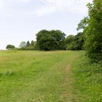
To the left is the edge of the golf course. I'm looking to wander along the edge and the behind the railway, which is behind those trees.
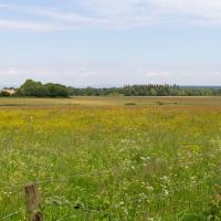
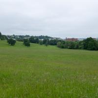
I'm reminded why I like living in Hotwells. In a pretty leisurely hour's walk I can be in the countryside, basically. Or in the centre of town, or Temple Meads station, or shopping on Whiteladies Road, or on North Street... There's a lot of possibility, but it's generally a very quiet area to live in.
Right, back to Clifton Village for a coffee and some lunch to take home. I see the one way system—brought in as a social distancing measure—is still in place.
A Quick Swing Past Ashton Court
05 Jun 2022
Another day not dissimilar to my last wander: I'm feeling a bit tired and rather than just moping around the house I thought I'd find some tiny bit of somewhere that I'd not yet walked and get outdoors. This time I headed for the Tobacco Factory Market in Bedminster, as I often do, but went the long way around via Ashton Court Mansion as I knew there were some footpaths and a small section of road I'd not ticked off up there. Finishing all the Ashton Court footpaths will be quite a long job, but you've got to start somewhere...
I did feel rather better by the time I got home, and, pretty much astoundingly given the weather forecast, managed to avoid the rain completely.
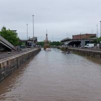
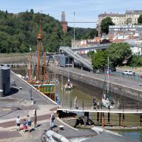
I'd normally walk over those open lock gates she's just sailed through, but it's easy enough to walk down to the gates at the river end.
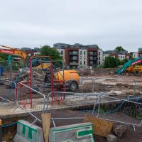
Yup, it's definitely all kicking off. They'll probably manage to build an entire development here before the Council finish fixing the bit of Cumberland Road that collapsed just around the corner.
I do enjoy the bits of my walks where I can look back and see Hotwells, or at least the higher bits surrounding Hotwells.
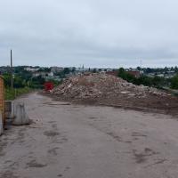
I'm in the habit of going over to the Tobacco Factory Market on a Sunday. I think I've walked all the routes around that way, but as a Plimsoll Bridge swing let me cross the road to the far side of Brunel Way on my return journey and I took a couple of photos of the brownfield development at the old Ashton Gate Depot site I thought I'd call it a Wander and pop some photos up.
"STEEP DROP INTO MUD AND FAST FLOWING WATER".
This sign has been mildly annoying photographers since it was put up, getting a bit in the way of several alternative views from this bit of land. I presume it was installed in response to some kind of accident, but I'd hazard a guess that whatever difficulties someone got into probably wouldn't have been prevented by a sign that stated the completely bloody obvious.
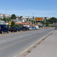
Now, what's actually meant to happen at this point is that all the traffic follows the giant flashing ALL TRAFFIC sign pointing to the exit ramp on the left. Then they go down the ramp, along a short stretch of road, cross the harbour at Merchants Road bridge (officially Junction Swing Bridge, in fact), join the Hotwell Road and continue on their merry way, without any cause for delay.
This never actually seems to happen, and a queue just forms here. Today this particularly annoyed the driver of a Waitrose van, presumably late for a delivery and stuck behind what he clearly thought were a line of idiots that he hooted angrily at for quite some time, to as much effect as you'd imagine.
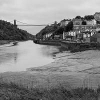
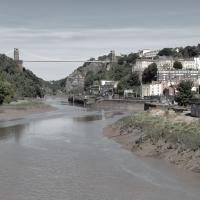
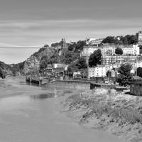
I took two shots from the south side of Brunel Way, a slightly different vantage point from my usual snapping point at the end of Spike Island down below. I'm not sure if I prefer this colour one...
They really couldn't make it much clearer that drivers are meant to nip off down the off ramp up ahead and take Junction Swing Bridge instead. But if anyone ever does I've not seen it. I don't think I've ever been caught in the queue here as a driver, but then I don't do much driving.
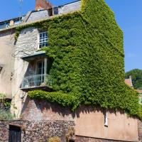
Well, technically that's Freeland Place, I suppose, but I was standing on Granby Hill to take the photo. I wonder how many photos of this fab house with its wrapping of Boston ivy I've taken over the years? I find it hard to resist on a nice clear day, especially if there aren't any cars parked on the hill and the ivy is in full effect.
Nipping Up the Zig Zag to the Shops
19 Aug 2023
It's been a long while since I did one of these walks.
I'm thinking of finishing up the project by walking one or two last bits of road, thus being able to declare with all honesty that I've done my best to walk every public road within my mile (and quite a few alleyways besides.) As a prelude, and just because I felt like it, I decided to drag out the camera and GPS on this little wander to the local shops.
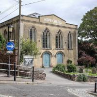
I may not personally be a fan of evangelical Christianity, but at least they keep the place looking nice. It's still very tidy since the recent renovation, installaltion of solar panels on the roof and repainting of the HOPE CHAPEL sign.
I would absolutely love to have lived in this area before World War II, before the widening of the road knocked down so many interesting things and replaced them with a few busy lanes of traffic, before the tramways were bombed into oblivion, and while you could still wander down to these moorings and catch a White Funnel boat out to Ilfracombe, or at least wander down to Hotwells Station and catch a steam train out to Shirehampton, Sea Mills or Avonmouth. Pre-1934 I could even have skipped the arduous walk up the Zig Zag and taken the 40-second ride up the funicular railway to Clifton Village...
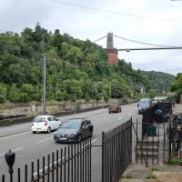
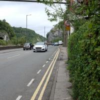
The Hotwell Road really needs more facilities for pedestrians. I spotted plenty of other walkers just on my brief trip along this short section, but all of us were being forced out to share the road with the busy traffic or prevented from crossing to the safer side and back as we made our way.
Thin pavements and a lack of crossings really show how much the car is king in this bit of Bristol, despite the gorgeous landscape.
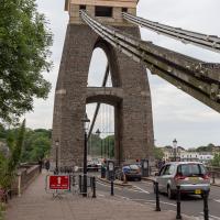
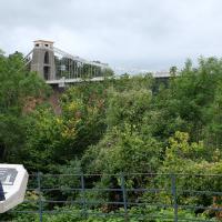
The reward at the top is the viewing platform of the Suspension Bridge, always busy with tourists.
I was actually planning to take an unexpected short-cut through a pub as an interesting little diversion on this wander, but sadly the pub was closed—I suppose before midday it's a bit of a reach to expect any pub to be open, even on a Saturday—so I headed for the shops instead. I'll have to do the short-cut trip one afternoon...
First I browsed the books at Rachel's & Michael's Antiques on Princess Victoria Street, where I bought CFW Dening's Old Pubs of Bristol as it mentions Hotwells a few times, then I grabbed my lunch from Parsons Bakery. There didn't seem to be anything new or interesting to snap along the way, so we'll now skip to the last couple of photos I took on my way home...
