Tagged: property
Up for the flu jab
21 Nov 2020
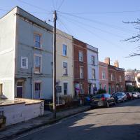
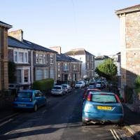
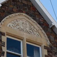
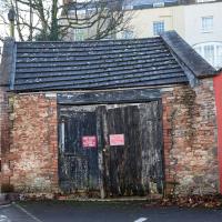
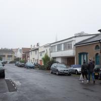
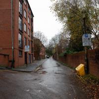
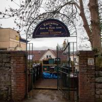
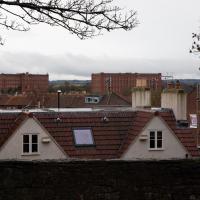
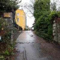
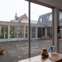
A trip up the hill to get my winter flu jab. I'm not sure I really needed it this year, what with avoiding Covid—I haven't had so much as a sniffle in more than a year—but seeing as they offered... Instead of the doctor's surgery on Pembroke Road, they'd taken over Christ Church, presumably to give more room and ventilation for the necessary social distancing at the moment. As usual, it was their typically efficient operation, and I was in and out in about three minutes.
On the way there and back I snapped as much as I could, but I wanted to be home in time for the first online Times Crossword Championship. As it turned out, I needn't have bothered, as the technology at the Times couldn't keep up with the demand from competitors, and their system just collapsed under the weight of page-views. They tried again the day after, and it collapsed just as badly. Maybe next year...
This wander is split into two parts, as I turned my tech off to go into Christ Church for my jab. The walk home can be found over here.
Avoiding the Accounts
26 Nov 2020
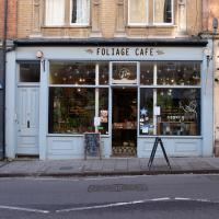
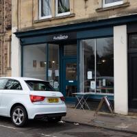
I took the day off my day job to do my accounts—or at least do enough bookkeeping to send them to my accountant. I hate doing the books. I woke up late, tired and with a headache and decided to bunk off for a walk around Cliftonwood, Clifton Village and Clifton instead, taking in a couple of good coffees along the way. Thanks, Foliage Café, and Twelve for the flat whites.
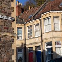
From what I've worked out so far, the use of St Vincent's name around so much of Bristol, especially Hotwells and Clifton, dervies from the ancient hermitage and chapel dedicated to St Vincent of Saragossa, which (possibly) was in Ghyston’s Cave, the cave in the rock face now accessible through a tunnel from the observatory, but at the time only by a perilous cliff climb (which I can only presume is what made it so appropriate for a hermitage.)
Why St Vincent of Saragossa? Anthony Adolph says:
It should be explained that the connection of Bristol with the Iberian wine trade led, in the Middle Ages, to Bristol’s importing of the cult of Lisbon’s patron saint, Vincent.
I have done very little real research on this so far, though, so don't take my word for any of it. I am not a historian, etc.
The Long Lunchtime at the End of the World
27 Nov 2020
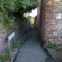
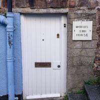
I took an extra-long break at lunchtime today as I'd taken the day off my normal day-job to do the accounts for my previous side-job, which is still generating paperwork, though not much in the way of money. This took me through some undiscovered bits of Cliftonwood, including Worlds End Lane, which unexpectedly leads to White Hart Steps. That's certainly not where I expected the end of the world to lead to...
A long ramble, starting with trying to find the Hot Well of Hotwells and leading up the side of the Avon Gorge to the Downs and then through Clifton for coffee.
Well, this whole street does seem quite mewsey. Christ Church pops up in the background, as it often does anywhere near Clifton Village.
It's very nice in there. I will never be wealthy enough to be asked to join, which I understand it the only qualification I don't fulfill, being white, male and old. Actually, I tell a lie; in 2006 they voted to allow women to join, after only 188 years of prior existence
Fruitless Coffee Excursion
01 Dec 2020
Unfortunately by the time I got to Greville Smyth Park I was already about halfway through my lunch-hour, and the queue was too long to wait to actually get a coffee. Is that a fruitless excursion? Presumably a coffee bean is technically a fruit...
This kind of vague musing was sadly overshadowed by my delay at Ashton Avenue Bridge on the way back, where someone—hopefully still a someone, rather than a body—was being stretchered up the bank of the river, presumably having just been rescued from the water. As I made my way home the long way around, avoiding the cordoned-off area at the back of the CREATE centre and its car park, I saw an ambulance haring across the Plimsoll Bridge, siren running, presumably on its way to the BRI. I'd like to think that was a good sign.
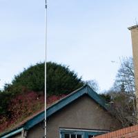
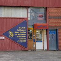
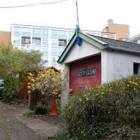
Looks like a rubber duck perched on a (maybe) fibreglass pole. Wonder if this is an actual radio shack? Or does someone just want to really extend their Wi-Fi :D
Nothing New
02 Dec 2020
This may be the very first time I've gone for a One Mile Matt wander and not actually gone down any new roads, trod any new steps. I just wanted a coffee, frankly, so I went the same old way to Imagine That in the marina and back again.
Cliftonwood and a Secret Garden
03 Dec 2020
I love the isolation of Cliftonwood -- the geography of it, with its solid boundary of Clifton Vale to the west and Jacob's Wells Road to the east mean that you tend not to be in Cliftonwood unless you've got a reason to be there. It's not a cut-through to anywhere, at least not from side-to-side, and you can only really exit to the south on foot.
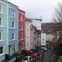
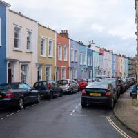
I sense that I'd be happy living in Cliftonwood -- like my bit of Hotwells, it's a quiet little area with a sort of quirky feel to it. Plus it contributes the colourful houses that are the backdrop of about half of all Bristol postcards ever made :)
I found the "secret" garden especially interesting, just for the fact that it really does feel quite secret, despite the obvious name on the gate. I've lived a half-mile from it for twenty years and I don't think I've ever noticed it before, despite exploring the area a few times.
I did once have a beer in the garden when it was The Spring Gardens. It became La Demi Lune for a while, from what I remember, then shut down. Having just Googled it, before it was the Spring Gardens apparently it was "Durty Nelly's"!
From what I can see on Street View it's just flats now, but I can't be sure without going and having a proper look around the front. Maybe next time...
Strangers' Burial Ground
04 Dec 2020
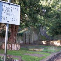
I tried to find the Strangers' Burial Ground the last time was up in Clifton, but I'd not realised that Lower Clifton Hill continues further on after the turning with Constitution Hill. Sadly it was chained shut, but it still looks beautifully-maintained, perhaps by the same man referenced by this story from John Hodgson, which helped me find it. Apparently Thomas Beddoes is buried here.
Well, presumably. They needed an overflow graveyard because, rather unsurprisingly, a lot of the people ill with TB and other maladies who flocked to Bristol to sample the curative power of mildy warm spring water ended up carking it.
I think there's a way through there up to Meridian Place in Clifton Village. I'll try to find it at some point in the future.
The bloke in the sign is John Scott, 1st Earl of Eldon. Among other things, he was Lord Chancellor twice.
More Cliftonwood
05 Dec 2020
Back to Cliftonwood for a wander that included some of the belle views of Bellevue Crescent and other bits of the easternmost part. Highlights included watching someone bump-starting an elderly Nissan Micra in the narrow confines of Bellevue Crescent.
I looked back on the old maps, and found “School Ruins” on the 1947-1965 OS maps layer, then just “School” on a few earlier maps, but then, finally, the 1874 Ashmead map told me enough to track it down: “Clifton National School”.
According to the Clifton and Hotwells Character Appraisal:
In 1835, the Clifton National School was built on the terrace above Hotwell Road and the Clifton Poor-Law Union workhouse on the lower terrace, becoming Clifton Industrial School in 1849; the same year, Hotwell Road was widened. A Training Institute for Females and Domestic Servants in Clifton Wood also appeared in this area by 1860 and by 1901, 53 trades were recorded between Dowry Square to Anchor Road, including 23 pubs…
…Clifton largely escaped widespread destruction during the blitz, though… a bomb also largely destroyed the Clifton National School and Mardyke House School. The lack of bomb-proof shelters in Clifton led to the Clifton Rocks Railway to be used as shelter, which was prepared for occupation in 1940. Throughout the bombing up to 200 spent the night there.
It's a bit odd on the map, as Cliftonwood Crescent leads to Southernhay Crescent, but then that turns back into Cliftonwood Crescent after a short stretch. Then that turns into Southernhay Avenue. I imagine there's a lot of redistribution of post that's been put through the wrong letterbox around here.
Alma Vale
06 Dec 2020
I wasn't really feeling it when I set out today, on my first car-assisted wander. By the time I'd parked on Alma Vale Road in Clifton it was just starting to rain and I picked my way about in quite a desultory way. It felt strange, as I was very familiar with the area because I'd walked through it hundreds of times when I worked at the top of Whiteladies Road, and used to walk up the hill from Hotwells and through Clifton to get there, and back again, every day.
Then a complete coincidence seemed to make the change I'd been hoping for. I was standing taking a photo of Christ in the front garden of All Saints church when a couple of people walked out of the front door. I got talking with a lady I took to be part of the ministerial team, who invited me to come in and look around—something I'd always wanted to do on the morning commute. (I think we connected a bit when I recognised the name John Piper, who did the amazing windows—I learned about him while I was at Warwick, through his connections to Coventry Cathedral.
I left with much more of a spring in my step, wandered around the area a bit more, finally working out that the tennis courts I used to pass every morning are those of Clifton Lawn Tennis Club, and finally grabbing an excellent Hungarian sausage hot dog from the Budapest Cafe. I feel a lot better now than I did before I went out.
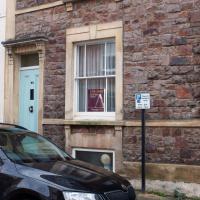
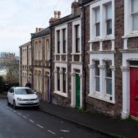
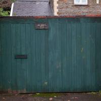
This green door and the lamp post just out of sight to the right are my mental markers for diving down the alleyway that leads through to Thorndale. They're direclty opposite. It's easy to miss otherwise.
