Tagged: tree
Desultory Coffee Wander
16 Apr 2021
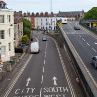
Another day, another quick dash out for a coffee. I did at least try to take a different route from normal, especially on the way back, where I yet again got a bit lost in the strange paths, flyovers and underpasses that make up the odd maze of pedestrian "infrastructure" among the concrete jungle between the west of Greville Smyth and my neck of the woods in Hotwells. I swear one day I'll take a turn I've not tried before and end up being gored by a Bristolian minotaur.
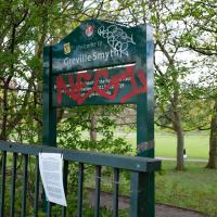
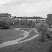
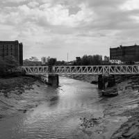
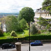
I decided to make my way across the water to Greville Smyth Park via a more cicuitous route than normal.
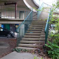
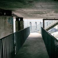
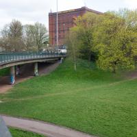
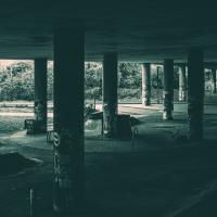
Some of the Cumberland Basin Flyover System's pedestrian pathways really do feel like you're making your way through a post-apocalyptic computer game.
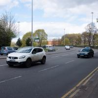
Even on a quieter day, the roar of the traffic is pretty amazing. I was listening to a podcast about electric cars on noise-cancelling headphones, while wishing there were already a few more on the roads...
I think I should have gone back down into the park to come back up my normal path, that leads to a place where you can walk under the flyover and get back on the bridge to Hotwells. As it is I just tried heading north and ended up having to cross four lanes of busy traffic.
That seems to be the failure of the pedestrian paths around here: if you know where you're going really well, the best you can hope for is not to make a wrong turn, and then you can end up going all the way around the houses, including quite often back the way you came, and might manage to use some of the provided underpasses and crossings and avoid the most dangerous traffic. But if you don't know them like the back of your hand and just try heading for the place you want to get to, that you can actually see, you'll be led entirely astray and end up in a variety of dead-ends.
A New Wander, a New Cafe
21 Apr 2021
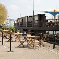
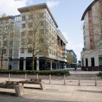
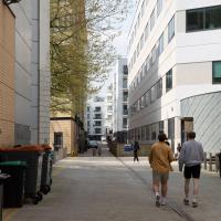
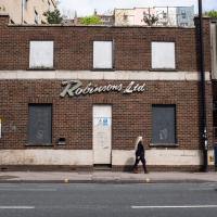
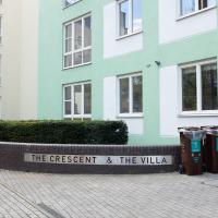
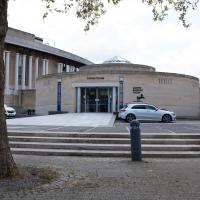
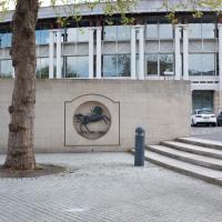
Obviously, I was trying to connect to the industrial history of the Canon's Marsh area, to the old gasworks, the docks railway, the warehouses they blew up to make way for all the rather soulless modern stuff (though I do like the Lloyds building, at least.) But what I mostly got out of today's walk is a new cafe to go to for my lunchtime outings. It's perhaps a little closer than both Imagine That and Hopper Coffee; not quite as close as Foliage and Twelve up in Clifton Village, but also not at the top of a steep hill.
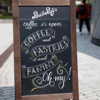
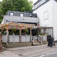
No, not the mediocre Costa, but only a little way away from there: Rod and Ruby's, which opened in 2018 and which I've seen in passing several times but never popped into until today. What can I say? I was foolish. Great flat white, lovely interior, astoundingly good cannoli.
Sometimes you just have to get your head out of history and enjoy a pastry.
I really must poke my nose in and see if there's anything more than the apparently-tiny couryard back there.
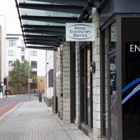
Here's a weird thing that I always remember when I spot the endoscopy centre: in January 2019 there was a "Major emergency response after incident in city centre", where "Six taken ill after mystery substance is hurled from window near Harbourside".
As far as I know, the Bristol Post—who back then were basically just a Twitter aggregation service rather than an actual newspaper—never did any follow-up stories on what the substance was, or what on earth this was all about, but I do know the window that they mystery substance was hurled out of (or possibly into, the story's a little self-contradictory on that point) was a window of the Prime Endoscopy centre. The mind boggles.
Howard's Lock
27 Apr 2021
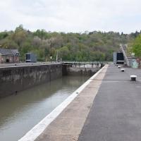
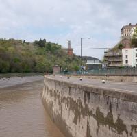
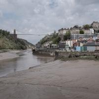
Bits of Entrance Lock have been coned off for ages, mostly the area with the lockkeepers' house on it. My friends Sarah and Vik mentioned at the weekend that it had recently been un-coned, so I wandered that way to cross the outermost lockgates for the first time this year. I don't know whether it's just my mood today or the weather, but it seemed a day for pushing a couple of photos in a more experimental direction in the post-processing...
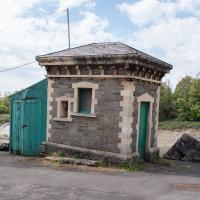
The last time I noticed this antenna, I wondered if this was some radio amateur's shed. As soon as they renovated it and stuck the rather utilitarian metal doors on the front, I managed to place it: it's an electrical substation. A lot of the local ones seem to have antenna masts; I suppose it's how they do remote monitoring, or something. In my defence, I'm not sure the sign on the gate with the electricity symbol was there before, either.
Canons Marsh Coffee Trip
29 Apr 2021
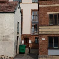
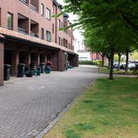
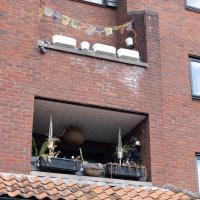
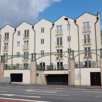
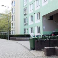
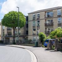
Another quick excursion to Canon's Marsh, tempted back by Rod & Ruby's cannoli and flat white. This time I poked around some bits of the modern flats I'd not really experienced before, mused on the old gasworks, and headed back down the Hotwell Road, spotting a re-opening gallery and finishing off at the Adam & Eve, for which some locals are currently rushing to launch a bid to turn it into a community business rather than have a developer turn it into yet-more flats.
I was in a bouncy, positive mood, helped out by Life Without Buildings' Live at the Annandale Hotel album1. Note to self, though: the album is nearly an hour long, so if you hear the encore starting and you're still halfway down the Hotwell Road, you'll probably be late back from lunch...
1 That review's well worth a read. Music journalists tend to go extra-dreamy when trying to describe Sue Tompkins. See what I mean:
She circles her limber tongue-twisters, feints, and attacks from unexpected angles, dicing and rearranging them with the superhuman brio of an anime ninja and a telegraphic sense of lexical rhythm.
Victoria Square Underpass
06 May 2021
I'm meant to be taking a little break from this project, but in my Victoria Square researches after my last walk I noticed a curiosity I wanted to investigate. The community layer on Know Your Place has a single photograph captioned, "The remains of an 'underpass' in Victoria Square".
Looking back through the maps, I could see that there really did used to be an underpass across what used to be Birdcage Walk. I can only guess that it was there to join the two halves of the square's private garden that used to be separated by tall railings that were taken away during WWII. Maybe it was a landscaping curiosity, maybe it was just to save them having to un-lock and re-lock two gates and risk mixing with the hoi polloi on the public path in the middle...
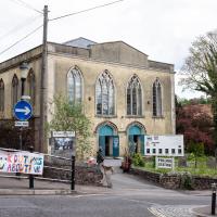
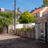
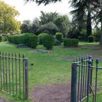
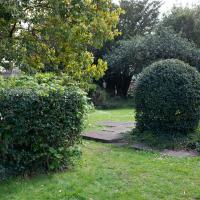
Anyway. Intrigued, I popped up to Clifton Village this lunchtime for a post-voting coffee, and on the way examined the remains of the underpass—still there, but only if you know what you're looking for, I'd say—and also visited a tiny little road with a cottage and a townhouse I'd never seen before, just off Clifton Hill, and got distracted by wandering the little garden with the war memorial in St Andrew's churchyard just because the gate happened to be open.
EDIT: Aha! Found this snippet when I was researching something completely different, of course. From the ever-helpful CHIS website:
When there were railings all round the garden and down the central path, in order that the children could play together in either garden there was a tunnel for them to go through. This was filled in during the 1970s but almost at the south east end of the path if one looks over the low wall the top of the arches can still be seen.
At some point, the local polling station stopped being at Holy Trinity and moved here.
Speaking of elections, one of the four elections happening today is the Bristol mayoral election; current enumbent Marvin Rees, an Evangelical of some variety, met church leaders here on the first day of his first term: “We prayed, and we invited the spirit of God into the city."
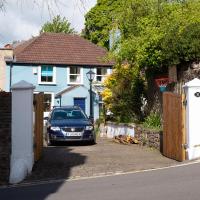
I wander on impulse down a little side-street I'd never really noticed before and find a curious cottage (Prospect Cottage, right) and a big 18th century listed house I've never seen before (Clifton Retreat, hidden behind the wisteria and other foliage ahead/left.)
If you'd shown me this photo before today, of a place I've been within spitting distance of thousands of times, I'd have not had a clue where it was. Bristol's fractal nature never ceases to amaze me.
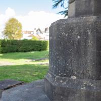
I'm going to call this the memorial garden. Don't know if it has an official name, but it's a railinged-off area with the war memorial in it...
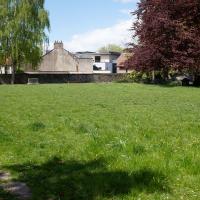
Up until WWII, anyway. The outline of the church remains around this square of land; the stones you can see bottom left are one of its walls. Among the many interesting images accompanying Bristol 24/7's story about the Bristol Blitz you can see an image of St Andrew's Church after the bombing raid of November 1940. I'd call it an interior shot, but most of the interior had become the exterior by that point...
Sequel Injection
07 May 2021
I saw this tweet the other day and started thinking of my second Covid-19 vaccination as my "Sequel Injection" (to a geek, it's funny. You'll have to take my word for it.) Whatever you call it, this morning I went and got it.
It was in the same place I got my initial injection—my left arm! No, okay, it was at the Clifton College Prep School. I didn't take any photos of the event itself; the NHS production line is so efficient you barely have time to do anything else, even if the privacy of other patients wasn't a factor.
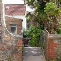
Along the way I mused at all the road resurfacing going on in Clifton, and also discovered a secret (okay, not-well-known and possibly slightly trespassey) way into Canynge Square, and on the way back I knocked off a few streets from my "leftovers list" of north-east Clifton. I've got much of Clifton done now, with the only obvious "to dos" on the east side of Whiteladies Road...
It was quite a long walk, and I'm feeling pretty tired now, though that might be the effects of the jab too, I suppose. Anyway. Tomorrow and Monday I'm walking outside Bristol, I think, and I imagine my feet will need some recovery time on Sunday, so it might be a while before I post another Wander.
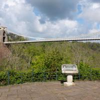
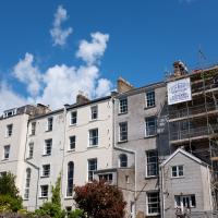
The Fujifilm X100T that I mostly use for these trips is a great camera, but it's also a fixed lens, approximately that of a 35mm focal length on a full-frame camera. So I quite often can't fit in whole buildings, whole terraces, or whole suspension bridges :D
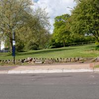
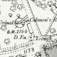
I tried to figure out what this used to be—didn't have a lot of luck, but the next snap is taken from an old OS map showing that this area has been a stand for public transport since long before the modern bus stop here.
Looking at the old OS maps, it seems this must have been where all the local cabbies hung out. The Cabmen's Rest has a urinal, drinking fountain, and horse trough, all on this little corner. Perhaps the little wall marks the edge of an old shelter; there's a box on the map there but it doesn't give much away.
Ther's a little shelter/bandstand-looking thing in the background of a few historic photos from the area like this one of a horsedrawn omnibus but it's hard to tell what's where.
Map source: 1894-1903 OS 25” 2nd Edition, Know Your Place Bristol
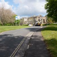
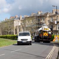
There were a lot of closed roads in Clifton this morning. I watched the white van at the end make its way carefully around the ROAD CLOSED signs at the village end of Observatory Road, drive past me, and get to where you can see it in the distance here before the driver was sent back with a flea in his ear from the workman on "stop the idiots driving through the newly-laid tarmac" duty.
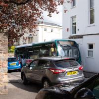
As well as confused van-drivers, the buses weren't having a great time of it, either, having to squeeze down narrow streets like Canynge Road rather than their usual broad avenues. Never seen a traffic jam here before.
Yup, what I thought led to a back garden or something is actually a strange little cut-through to the back of the Redgrave.
I wonder if this is the stage door to the Redgrave? And how it came to be connected to the corner of Canynge Square? Either way, I love finding these little cut-throughs that are normally only known by locals.
I successfully attained the square. Of course, people might not believe me when I say there's a way out of Canynge Square, if they've previously been burned by the fictional Lye Close...
Whistle Stop Tour Via a Hansom
12 May 2021
I wanted to take another snap of an interesting Gothic Revival place in Clifton, having found out a bit more about the owner. On the way I walked through the Clifton Vale Close estate, idly wondering again whether it might've been the site of Bristol's Vauxhall Pleasure Gardens (I've not researched further yet.) On the way back I knocked off the last remaining bit of Queens Road I had yet to walk and tried to find the bit of communal land that Sarah Guppy bought so as not to have her view built on...
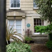
...lived here. You may remember seeing her gravestone in St Andrew's Churchyard...
Her Wikipedia entry notes:
She bought the land opposite the house for the benefit of Clifton residents and it still remains green space
While there is some green space opposite, it looks very private and seems to belong to Edgecumbe Hall (sometimes spelled Edgecombe, it seems...)
CHIS's Communal Gardens web page says:
Richmond Hill Gardens. ca 1830 This forms a key visual feature at the top of the triangle. There are specimens of at least 23 tree species, including a magnificent Weeping Beech, the finest in the city, and a Redwood, which is an offshoot of a tree cut down twenty years ago. The land was bought by Sarah Guppy (1770-1857) an inventor and designer who was consulted by Brunel. She lived in Richmond Hill and did not want any building opposite, so bought the land and made it communal. For many years it was a nursery garden but now it has become a well hidden car park for those houses to which it is attached.
...and lists it under "Private Communal Gardens", so I suppose it's not public, but it is communally-owned (and likely to have a covenant against building?) Seems a bit of a shame it's ended up as a car-park.
From the listing:
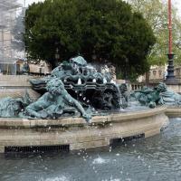
By Edwin Rickards and Henry Poole. Pennant ashlar, limestone balustrades, cast-iron railings and lamps, bronze statues. Raised forecourt with curved steps and a large fountain with bronze aquatic statues and granite urns; flanking plinths with flagstaffs on moulded bases, turned balustrades with lamps, curved railings with urn finials to the front, bronze lions couchant to the rear, piers to outer gateways with lamps on moulded bases. Rickards and Poole were a notable partnership of the Edwardian period, and this is a particularly good example of their work.
It's nice to see it running. It was dormant the last time we saw it, possibly closed down for winter?
Bocye's Avenue Windows
19 May 2021
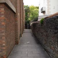
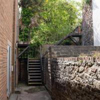
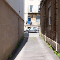
I just nipped up to Clifton Village to get a coffee, though I did manage to walk down a little alleyway I'd not really noticed before. Or perhaps I had noticed it and it looked private, but today I felt like wandering up its twenty or so feet anyway... The reflections in the shop windows on Boyce's Avenue gave me the idea to take a few snaps of them, so that's the majority of my small amount of snapping today.
Well, not now it isn't. The church was demolished (after spending some post-war time deconsecrated as St Andrew's Hall) to make way for flats in 1975. There are some photos of how it used to look on ChurchCrawler.
Shop Fronts of Regent Street
22 May 2021
I didn't even think I'd manage to get out today, such was the weather forecast. As it turned out, it's been quite a nice day, and I managed to nip up to Clifton Village to pop to the Post Office. As with my last outing, I decided after snapping one shop-front on Regent Street that I might as well snap the whole row, and muse on a few of them, the only service I really offer over and above Google Street View for a lot of my pictures 😀
Named after its cross-section from above, I've always assumed. Anyway. That's the last shop on that side of the road, so apart from the one I missed on the starting corner, Awakn, that's snaps of all the shops on the west side of Regent Street for you.
So the Paragon kids play football? I'd sort of assumed there would be miniature Rugby posts, or perhaps a fives court.
Another Day, Another 50 Metres
29 May 2021
I met my friends Sarah and Vik at Riverside Garden Centre today; I needed to buy some compost for repotting my wildly-overgrowing aloe vera, and I went a little bit out of my way to knock off a stretch of Ashton Road. It was a pleasant enough walk in the surprisingly warm (and surprising-not-tipping-it-down-on-a-Bank-Holiday-weekend) weather.
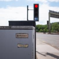
Traffic light control box, I assume. It's about as far from home as I am, as Plessey's headquarters were in Ilford, not far from where I grew up. Guessing this might be original gear from the late 1960s, when the flyover system was built.
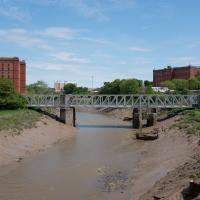
It looked pretty amazing back in the day; it was a double-decker swing bridge with a control tower raised over the swing point. Here's another old snap, this one from a more similar viewpoint to mine.
When I moved to Hotwells, it was a pedestrian-only bridge, though one half of it still had the overgrown rail tracks from when it was a bottom-deck railway and top-deck road bridge. Since then it's been refurbished and is now combined pedestrian and Metrobus, with a guided channel for the buses. Amusingly, when it was first put in, they managed to make it too narrow for the buses. In fact, it's closed right now for "works on the guideway" so presumably they're still having problems.
