Tagged: avon-gorge
Bedminster
31 Oct 2020
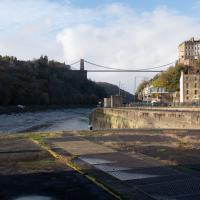
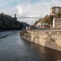
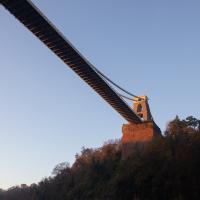
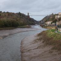
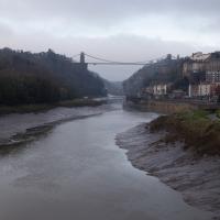
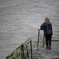
Starting up close in Hotwells with a few bits around the Cumberland Basin flyover system, I walked to Bedminster and back on Hallowe'en, including finding some excellent decoration work.
The spike of land with the dockkeepers' cottage on it has been cordoned off for the last couple months as I write this (on 4 Jan 2021; I'm processing my backlog.) Back in October you could wander up to the end unimpeded.
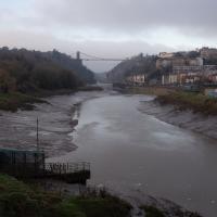
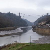
I don't normally do HDR photography, and I still find this looks a little unnatural, but hey, it was just an experiment.
Morning Mist
05 Nov 2020
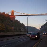
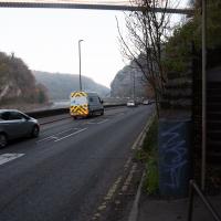
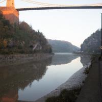
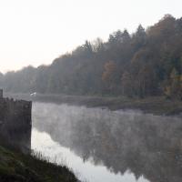
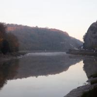
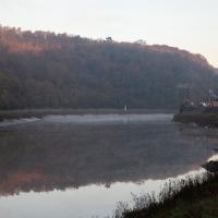
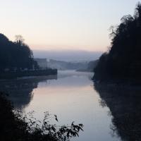
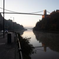
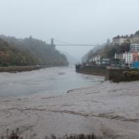
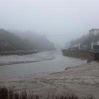
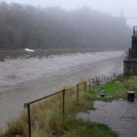
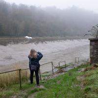
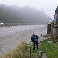
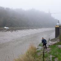
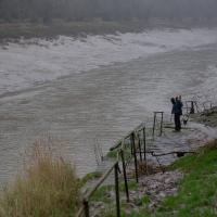
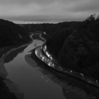
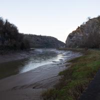
I spotted the fog and decided to go for a morning walk rather than a lunchtime walk today. It was cold on the Portway, but it was worth it. Most of my One Mile Matt photos are "record shots", but it's nice to get the chance to do something a bit more artistic.
Rabbits, bad pedestrian signage and good coffee
13 Nov 2020
A quick trip with the aim of finding a better way to Greville Smyth park and a good coffee. Sadly I was stymied yet again with the former—it turns out that you do apparently have to take a strange loop around the houses (or at least around the roads) to get to Greville Smyth any way other than my normal route, unless you're prepared to vault some railings. It may be that the disused steps from where the skater kids hang out to the flyover above might once have led to a shorter route, but it's hard to tell. The geography in the area has always confused me.
On the plus side, Rich, who runs Hopper Coffee from a Piaggio Ape does a great flat white and often has a good sign. (I collect cafe signs...)
Misty Walk
30 Oct 2020
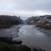
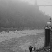
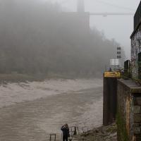
Something of a misty start took me around the viewpoint at the end of Spike Island and then on to try to find a new way into Greville Smyth Park. I got lost.
The Long Lunchtime at the End of the World
27 Nov 2020
I took an extra-long break at lunchtime today as I'd taken the day off my normal day-job to do the accounts for my previous side-job, which is still generating paperwork, though not much in the way of money. This took me through some undiscovered bits of Cliftonwood, including Worlds End Lane, which unexpectedly leads to White Hart Steps. That's certainly not where I expected the end of the world to lead to...
A long ramble, starting with trying to find the Hot Well of Hotwells and leading up the side of the Avon Gorge to the Downs and then through Clifton for coffee.
Vik and I often just stand back calling helpful advice like "please don't die!" when Sarah's off getting a picture from some liminal space or other.
Solstice Rain
21 Dec 2020
Despite the weather, Sarah and Vik and I wandered around Ashton Court a bit as the sun rose. Not that you could really tell. Sadly, the bit we wanted to watch the sunrise from was closed, because people hadn't been treating the deer with appropriate respect. Ah well, at least it was some exercise.
Saint Vincent's Spring
28 Dec 2020
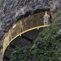
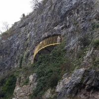
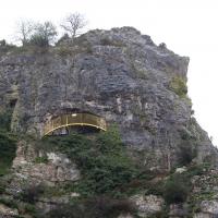
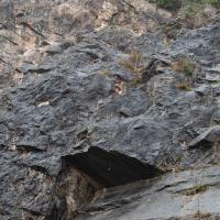
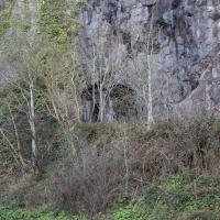
Fractionally outside my one-mile zone, but I got curious about Saint Vincent's spring, whose last remnants you can see in a defunct drinking fountain on the Portway. Along the way I passed Gyston's cave, sometimes called St Vincent's cave, in the sheer wall of the gorge. It's now accessible by a tunnel from the observatory—I tried it about twenty years ago, I think, and still recall the vertiginous moment of looking down from the protruding balcony and realising that you could see straight through the grille floor to the drop below—but from what I can work out the tunnel is relatively recent. Before the tunnel was dug it was accessible only by access across the cliff face, which must have been even more terrifying.
This cave was first mentioned as being a chapel in the year AD 305 and excavations, in which Romano-British pottery has been found, have revealed that it has been both a holy place and a place of refuge at various times in its history.
A few different sources say that the cave became a hermitage and chapel to St Vincent following Bristol's early trading in Iberian wines; St Vincent of Saragossa is Lisbon's patron saint, and a lot of nearby things bear the name.
I'm not sure where the crossover of Vincent and Ghyston happens, though. On the giants Goram and Vincent (or Ghyston), Wikipedia says:
The name Vincent for one of the giants rests on the fact that at Clifton, at the narrowest point of the Avon Gorge, there was formerly an ancient hermitage and chapel dedicated to St Vincent, at or near the present cave in the cliff-face which bears his name. Another (apparently modern) version of the story calls the Clifton giant Ghyston, which is in fact the name, of obscure origin, for the whole of the cliff-face of the Avon Gorge at least as early as the mid-fifteenth century, in the detailed description of the Bristol area by William Worcestre. The place-name was personified to produce the giant's name. Vincent's Cave is called Ghyston cave or The Giant’s Hole in an article in the July 1837 issue of Felix Farley’s Bristol Journal.
In my research on the original Hot Well House, I've seen quite a few contemporary paintings which state their viewpoint as "from St. Vincent's Rock", so in the 16th century it seems the cliff-face name was typically St Vincent Rock rather than Ghyston's Rock, perhaps.
I am, as you can tell, no historian!
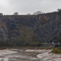
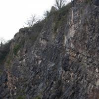
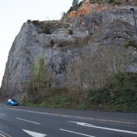
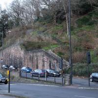
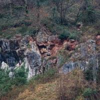
On the way, I also wandered around the base of the popular climbing area, which I think is the site of the old Black Rock quarry.
The interesting-looking modern block at the top of the cliff on the left is Seawalls, on Seawalls Road, built in 1977. Zoopla's estimated price for a two-bedroom flat there looks to be around half a million pounds.
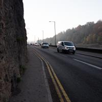
There are a lot of crashes on the Portway, which has always felt like a well-designed, safe, wide road with a reasonable speed limit to me. Maybe someone's trying to figure out why...
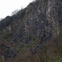
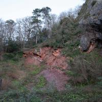
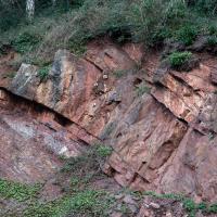
What can I say? I went to a quarry in the Avon Gorge. Most of my pictures are going to be of rocks. Sorry.
These are all in the rock-climibing area in the old quarry below Peregrine Watch Point. I saw no peregrines.
My historical research took a wander underground recently, partly inspired by the Canynge Square sinkhole, partly by St Vincent's (Ghyston's) cave and its tunnel to the Observatory, and I was surprised to find that there might be an intact tunnel from the Bristol Port Railway and Pier still just sitting there under Bridge Valley Road. A quick search turned up this recent video by an intrepid explorer, so it's definitely still there.
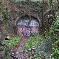
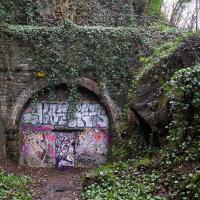
I went looking for the entrances today, and definitely found the south entrance, at the start of the Bridge Valley Path, the footpath that starts with steps at the bottom of Bridge Valley Road. It's easy to miss if you're not looking for it. I think I've figured out where the north entrance is, too, but it was getting dark at that stage and the Portway was still busy enough that crossing the road was still the normal nuisance, so I thought I'd leave further explorations for another day.
You can see a drawing of its better days here; "in 1946, the cast-iron pump was removed to the Underfall Yard of Bristol City Docks, and in 1961 there were reports that it had been donated to the City Museum."
Up until
Despite its looks, this is neither of the two footpaths actually called the Zig Zag (the Zig Zag itself, closer to town, and the New Zig Zag, further out.) This is in fact the Bridge Valley Path
Every surface of the cliff face around here is basically bolted on to stop it falling into the road.
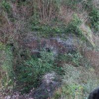
Peeking down over the edge of the start of the Bridge Valley Path you can just make out the entrance to the Portnalls railway tunnel under Bridge Valley Road. It opened in 1865 and ran to Avonmouth from a terminus in Hotwells, but was closed to enable the construction of the Portway in 1922 (source: Peaceful Portway "Memorable Walks" leaflet)
...and on the other side is the exit from the tunnel section closer to town. I don't know if that was also part of the Portnalls Number One tunnel or if it had a separate name. Either way, the railway would have run from Hotwells Halt on the city side all the way to Avonmouth, from what I can work out.
A Promenade on New Year's Day
01 Jan 2021
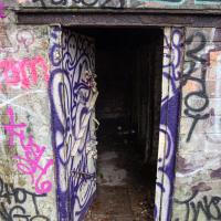
I wandered along the gorge today and found the entrance to the disused Portnalls Number 1 railway tunnel of the Bristol Port Railway and Pier. The door was unlocked, but as soon as I opened it I felt a sense of current habitation and decided discretion was the best option. There's a lot of people homeless in Bristol at the moment, and they don't need disturbing. For the same reason, I've omitted posting some pictures of a little encampment somewhat off the beaten track of the new Zig Zag, where I reversed direction as soon as I realised I'd come across a current habitation of some sort.
Up in Clifton it took me a little while to work out that the picture of the Promenade I was trying to reproduce was taken from the viewpoint I'd thought, it was just that the Alderman's fountain was moved from the top of Bridge Valley Road to the other side of the promenade in 1987, so trying to use it as my initial landmark wasn't very helpful!
Finally I swung past the Society of Merchant Venturers, who presumably still own most of Clifton, having bought the entire manor, including Clifton Down, in 1676, and I imagine aren't in much danger of running out of money. That's true to their motto: indocilis pauperiem pati is apparently from the Odes of Horace, and translates as "will not learn to endure poverty"...
The older signs in Bristol just say e.g. 8 instead of the full postcode district of BS8.
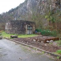
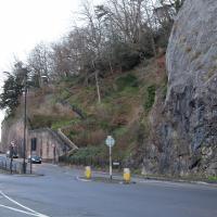
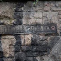
This sign, on the grotto that used to house the last remaining Hot Well pump, is the last Hotwell Road sign before it turns into the Portway. Which seems reasonable, as the Hotwell Road should obviously include the Hot Well...
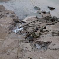
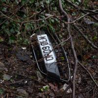
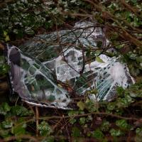
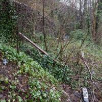
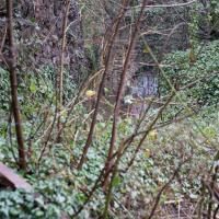
Was, apparently, a blue Ford Fiesta. It passed its last MOT on 24 October 2019, and hasn't been through one since. Can't think why that might have been.
The steps still do the job. The handrail, however, is only tenuously attached to anything at the top end.
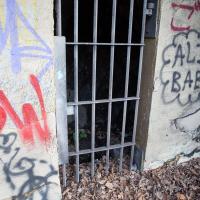
This is what I'd been looking for. An accessible entrance to the Portnalls Number One tunnel.
Oooh, it opens. However, it also looks like it closes fairly solidly and can be bolted from the outside. And it felt just a tad like there might be someone inside. So I didn't venture in.
