Tagged: art
I noticed I'd missed a bit of Circular Road and Ladies Mile, and it was a nice evening for a sunset wander up to Clifton. There was something I recorded along the way, not photographically but in video.
Bristol Zoo, the world's oldest provincial zoo, has recently decided to close its Clifton site after 185 years of occupation, which means that the sounds of wild animals will no longer drift incongruously through this leafy Georgian area. They're moving everything up to their existing second site, The Wild Place Project near Cribbs Causeway. As I was wandering the Downs, I heard some fierce roaring noises, so I decided to see if I could get a little closer while they were still going on and record a sound that's soon to disappear.
I don't have a way yet to put video directly on this site, so here's a link to the video of my attempt to catch a bit of the zoo noises that I just popped on YouTube. It's sad that this might be the last time I hear such noises in Clifton.
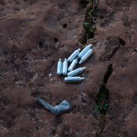
So named because they're often extracted from whipped cream cans.
Nitrous oxide is a common recreational drug. It was Thomas Beddoes and Humphrey Davy who pioneered its use, at the Pneumatic Institute on Dowry Square, coining the name "laughing gas" and inviting friends like Samuel Taylor Coleridge to give it a go, so I don't suppose we can criticise the local youth too much...
An Evening Wander to the Gallows
06 Apr 2021
I'd originally intended just to pop up to the area around Alma Road, where I'd missed a few streets on earlier wanders. It was such a nice evening, though, I decided to extend my walk up to the very top of Pembroke Road, just outside my one mile radius, to take a few snaps of something intriguing I'd found in my researches.
I've driven, walked and jogged past the little triangle of land at the top of Pembroke road a great deal in my time in Bristol, but I didn't know that it used to be the site of a gibbet, in fact that the road itself there used to be called Gallows Acre Lane. According to the Durdham Down history trail, by Francis Greenacre (an excellent name for a Downs researcher!) among other sources:
...it was below this quarry near the top of Pembroke Road, once called Gallows Acre Lane, that a gibbet stood. It was sometimes occupied by those who had committed robberies on the Downs and was last used in 1783 to hang Shenkin Protheroe for the murder of a drover. Stories quickly spread that he descended from the gibbet at midnight every night and stalked through Clifton. Such was the alarm that his body was cut down
and buried.
Also very close to this little triangle of land was one of the gates of the extensive turnpike system...
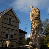
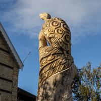
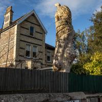
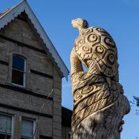
Anyway. Along the way I encountered a wooden tortoise and a real squirrel, among other things. It was a good walk, and more light in the evenings means I can move my wanders out of the ticking countdown clock of work lunch-hours and be a bit more leisurely.
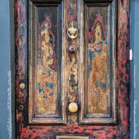
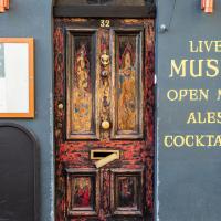
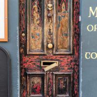
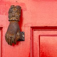
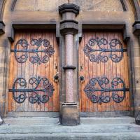
It's a great door, and I really couldn't find the best way of capturing it. Ah well.
This fella definitely wasn't here a few years back, when I used to commute to work at Axa at the top of Whiteladies Road past this garden.
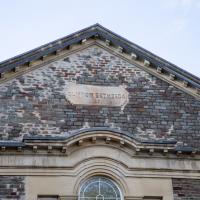
This is now Alma Church.
According to the ever-useful churchdb:
It was founded in 1871 as a daughter church of Bethesda Chapel in Great George Street, Brandon Hill, and was called "Clifton Bethesda" to distinguish it.
I didn't remember noticing the original Bethesda Chapel on Great George Street and apparently I didn't miss it—it seems from churchdb that it was hit by a bomb during WWII and later demolished. The KYP map from after the war shows its outline on the corner of Charlotte Street South, tagged "Ruin", and there's a picture of it. It's back to being grassland on Brandon Hill now, pretty much exactly where this earlier photo was taken.
Bethesda Chapel was founded by George Müller, one of the founders of the Plymouth Brethren, and director of Ashley Down orphanage, looking after more than ten thousand orphans in his lifetime.
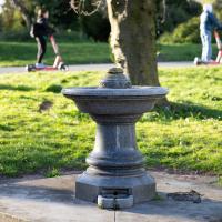
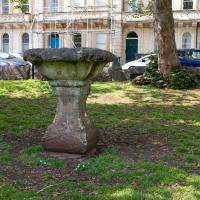
I don't know if either this fountain or the beech tree were placed to mark the former gibbet in some way.
Long Bemmie Wander with Lisa
11 Apr 2021
My friend Lisa joined me again, this time for a long wander through "Bemmie". In fact, I tweeted recently using "Bedmo" as my abbreviation for Bedminster, and apparently there's something of a culture war going on. From what I can glean, the longer-term residents call it "Bemmie" and consider "Bedmo" a name made up by hipster gentrifiers.
I had no idea, but then I didn't grow up around here, and I don't live in Bedminster, and I'm not a hipster. I'm not sure I've ever gentrified anywhere, either; Hotwells was already quite gentrified by the time I arrived. I probably just lowered the tone a bit.
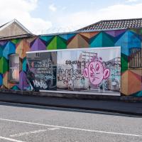
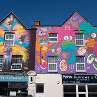
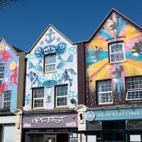
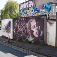
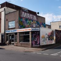
Anyway. Lisa and I entered Bemmie by the traditional toll gate (though actually you'd only have paid if you were coming from the Long Ashton direction, not merely nipping across from Hotwells) and then almost literally combed the streets to knock several new roads off my list of targets. Along the way we saw lots of street art, as you'd expect, and admired the area's panoply of gorgeous knockers.
The new development on the site of the old brewery (which I visited once for a behind-the-scenes peek with some food- and beer-blogger friends) isn't going down that well with the neighbours.
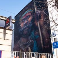
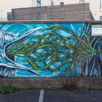
A piece by Dale Grimshaw. There's a great little piece on this here at Diff Graff, including some details of the migrating swarm of bees that interrupted the painting...
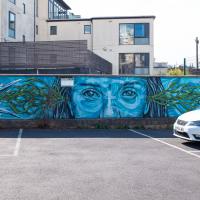
It's actually called Listen to Nature. A piece by Brazillian artist Dinho Bento. This one went up at Upfest 2018.
I bought some replacement glass for a photo frame here once, cut to size on the spot. They were very friendly.
Coffee, Pirates and a Spitfire
15 Apr 2021
Just a quick trip to Imagine That for a flat white and a date ball (they're really nice), snapping the general sights along the way. No new roads, as has rapidly become the default on my lunchtime wanders, but as I'm in the routine of this project it almost seems strange not to pop my wanders up on the site.
Desultory Coffee Wander
16 Apr 2021
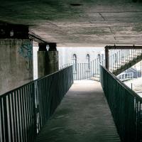
Another day, another quick dash out for a coffee. I did at least try to take a different route from normal, especially on the way back, where I yet again got a bit lost in the strange paths, flyovers and underpasses that make up the odd maze of pedestrian "infrastructure" among the concrete jungle between the west of Greville Smyth and my neck of the woods in Hotwells. I swear one day I'll take a turn I've not tried before and end up being gored by a Bristolian minotaur.
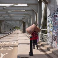
Some of the Cumberland Basin Flyover System's pedestrian pathways really do feel like you're making your way through a post-apocalyptic computer game.
A New Wander, a New Cafe
21 Apr 2021
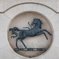
Obviously, I was trying to connect to the industrial history of the Canon's Marsh area, to the old gasworks, the docks railway, the warehouses they blew up to make way for all the rather soulless modern stuff (though I do like the Lloyds building, at least.) But what I mostly got out of today's walk is a new cafe to go to for my lunchtime outings. It's perhaps a little closer than both Imagine That and Hopper Coffee; not quite as close as Foliage and Twelve up in Clifton Village, but also not at the top of a steep hill.
No, not the mediocre Costa, but only a little way away from there: Rod and Ruby's, which opened in 2018 and which I've seen in passing several times but never popped into until today. What can I say? I was foolish. Great flat white, lovely interior, astoundingly good cannoli.
Sometimes you just have to get your head out of history and enjoy a pastry.
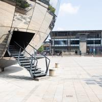
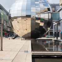
I've still never been inside. This mirrorball is one of the most photographed things in Bristol, and rightly so. A fun bit of architecture in the corner of Millennium Square.
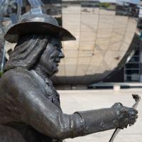
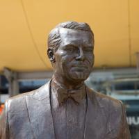
From some approaches, it does actually look rather like him. It seems a bit too gormless from this direction, though.
Howard's Lock
27 Apr 2021
Bits of Entrance Lock have been coned off for ages, mostly the area with the lockkeepers' house on it. My friends Sarah and Vik mentioned at the weekend that it had recently been un-coned, so I wandered that way to cross the outermost lockgates for the first time this year. I don't know whether it's just my mood today or the weather, but it seemed a day for pushing a couple of photos in a more experimental direction in the post-processing...
Canons Marsh Coffee Trip
29 Apr 2021
Another quick excursion to Canon's Marsh, tempted back by Rod & Ruby's cannoli and flat white. This time I poked around some bits of the modern flats I'd not really experienced before, mused on the old gasworks, and headed back down the Hotwell Road, spotting a re-opening gallery and finishing off at the Adam & Eve, for which some locals are currently rushing to launch a bid to turn it into a community business rather than have a developer turn it into yet-more flats.
I was in a bouncy, positive mood, helped out by Life Without Buildings' Live at the Annandale Hotel album1. Note to self, though: the album is nearly an hour long, so if you hear the encore starting and you're still halfway down the Hotwell Road, you'll probably be late back from lunch...
1 That review's well worth a read. Music journalists tend to go extra-dreamy when trying to describe Sue Tompkins. See what I mean:
She circles her limber tongue-twisters, feints, and attacks from unexpected angles, dicing and rearranging them with the superhuman brio of an anime ninja and a telegraphic sense of lexical rhythm.
Leftovers with Lisa
01 May 2021
I didn't get to all the little leftover streets around the northeastern part of my area in today's wander, but I definitely knocked a few off the list, plus Lisa and I enjoyed the walk, and didn't get rained on too badly. We spotted the hotting-up of Wisteria season, checked out Birdcage Walk (both old and new), ventured onto the wrong side of the tracks1 and generally enjoyed the architecture.
1 Well, technically we probably shouldn't have been on the grounds of those retirement flats, but nobody started chasing us around the garden with a Zimmer frame
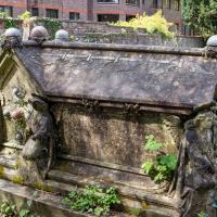
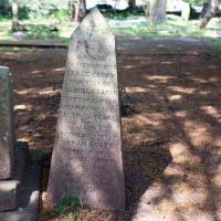
She was a gifted and prolific inventor, by all accounts, though apparently the news stories from a year or two back about her having had significant design input into the Clifton Suspension Bridge were due to an erroneous entry in the Oxford Dictionary of National Biography, oddly.
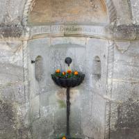
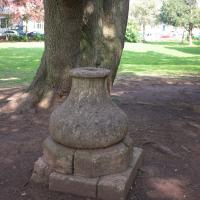
It's nice to see one of Bristol's defunct fountains being put to some kind of purpose.
Clifton's so posh that even the bird baths around here are listed historic structures. Mid nineteenth-century, limestone ashlar. Just like many of the houses.
I guess we'll see how well my website copes with non-English characters. It should be okay; most things default to UTF-8 these days, though I'll admit I didn't pay too much attention when setting things up.
Victoria Square Underpass
06 May 2021
I'm meant to be taking a little break from this project, but in my Victoria Square researches after my last walk I noticed a curiosity I wanted to investigate. The community layer on Know Your Place has a single photograph captioned, "The remains of an 'underpass' in Victoria Square".
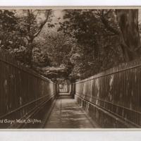
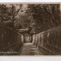
Looking back through the maps, I could see that there really did used to be an underpass across what used to be Birdcage Walk. I can only guess that it was there to join the two halves of the square's private garden that used to be separated by tall railings that were taken away during WWII. Maybe it was a landscaping curiosity, maybe it was just to save them having to un-lock and re-lock two gates and risk mixing with the hoi polloi on the public path in the middle...
Anyway. Intrigued, I popped up to Clifton Village this lunchtime for a post-voting coffee, and on the way examined the remains of the underpass—still there, but only if you know what you're looking for, I'd say—and also visited a tiny little road with a cottage and a townhouse I'd never seen before, just off Clifton Hill, and got distracted by wandering the little garden with the war memorial in St Andrew's churchyard just because the gate happened to be open.
EDIT: Aha! Found this snippet when I was researching something completely different, of course. From the ever-helpful CHIS website:
When there were railings all round the garden and down the central path, in order that the children could play together in either garden there was a tunnel for them to go through. This was filled in during the 1970s but almost at the south east end of the path if one looks over the low wall the top of the arches can still be seen.
Before WWII, you can see why one might have wanted an underpass to cross between the two halves of the private garden on either side of Birdcage Walk.
Via Vaughan Postcard Collection, Bristol Archives.
