Tagged: road
Sunday Bedmo
20 Dec 2020
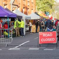
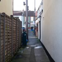
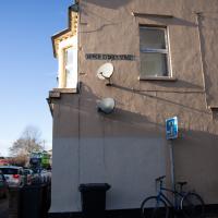
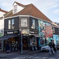
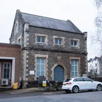
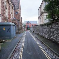
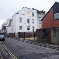
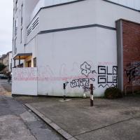
A long meander around bits of Bedminster, from the river to the north to Winterstoke Road to the south, taking a few roads I've seen before, and a few I haven't. The Christmas decorations were an extra bonus.
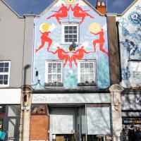
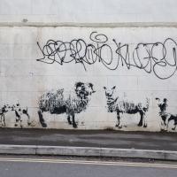
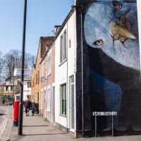
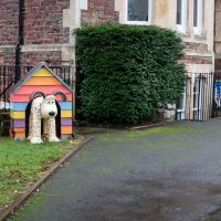
By Stewy, the same artist who collaborated with the homeowner to put Alice Liddell on the wall of the house we saw earlier.
Leigh Woods Solo
19 Jun 2021
I hadn't really planned to go out for a wander yesterday; I just got the urge and thought "why not?" (Well, the weather forecast was one possible reason, but I managed to avoid the rain, luckily.)
I wanted to finish off the A369—as it turns out I may still have a small section to go, but I've now walked the bulk of it out to my one-mile radius—and also a few random tracks in Leigh Woods. I'm still not really sure that I'm going to walk them all, especially after discovering today that "the map is not the territory" applies even more in the woods, where one of the marked tracks on the map wasn't really that recognisable as a track in real life... I'm glad I'd programmed the route into the GPS in advance!
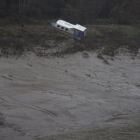
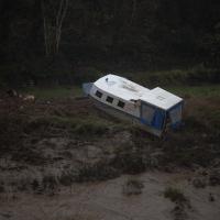
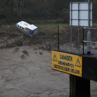
Anyway. A pleasant enough walk, oddly bookended, photographically at least, by unusual vehicles. Leigh Woods was fairly busy, especially the section I'd chosen, which was positively dripping with teenage schoolkids with rah accents muttering opprobrium about the Duke of Edinburgh. I'm presuming the harsh remarks were more about taking part in his award scheme than the late Consort himself, but I didn't eavesdrop enough to be certain...
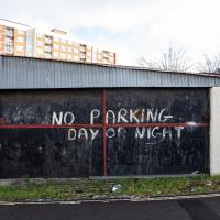
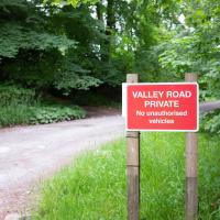
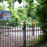
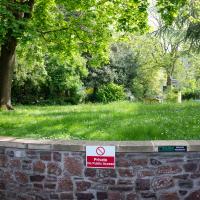
But plenty of people seemed to be cutting through, so I imagine the sign is more intended to stop it turning into a car park. I think the Forstry Commission and the National Trust (who each own different bits of Leigh Woods, if I remember correctly) have been experimenting with charging for parking at their previously-free car parks in the woods. That and the fact that Covid-19 restrictions seem to be upping visitor numbers (I guess because people are staying local and there's little else to do) has led to something of a parking problem in the Leigh Woods area.
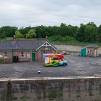
I'm not sure what's being delivered to the lock-keepers' house, but it looks like they'll probably all be a lot happier afterwards.
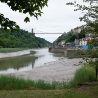
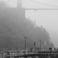
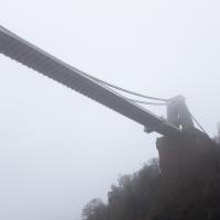
I took this as a comparison shot for this non-OMM photo I snapped the other night, to show how much difference the right conditions can make to a photograph :D
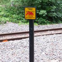
I don't think I've ever been next to these tracks when a train's gone down. I've sometimes seen it from the other side of the river, though. You can read a bit about the nearby disused station here; this used to be a passenger line, but it's freight-only now.
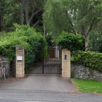
Or that's what is says on the gate, anyway. There are a lot of big posh hidden-behind-big-walls houses in this area.
The name caught my eye because it seems to be one of those words that could either be a beautiful flower or some kind of sexually-transmitted disease. Apparently it's a place in County Donegal. The golf course looks challenging...
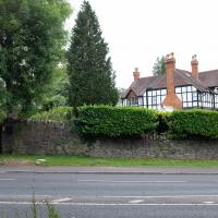
The economy seems to be booming in the area of big houses for rich people, at least.
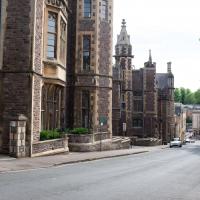
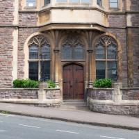
I managed to knock off a reasonable chunk of the roads I had left to walk around the University at the north-eastern extremity of my mile on this nice sunny walk. As well as being impressed by the number of big townhouses now occupied by various departments, I took some time on my way there to check out a war memorial, and some time on the way back to do a little extra wandering of Berkeley Square.
A Coffee and a Curve
27 Mar 2022
I wanted to have a wander along to the Tobacco Factory Market for some shopping, and checking the map for any leftover nearby streets I noticed a tiny curve of road on the way into the modern flats at Paxton Drive that it didn't look like I'd walked down before. I wouldn't take me too far out of my way, so I decided to head there first and then across to North Street to get my groceries and a coffee...
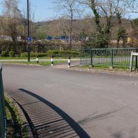
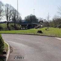
Here we are at the tiny loop of road that looked like it hadn't been walked. It has very little to recommend itself in any other capacity.
Paxton Drive always reminds me of Blake's 7, but in fact in the episode Stardrive it's actually Doctor Plaxton's drive that's the MacGuffin.
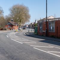
Which then becomes North Street, my destination. I need a coffee and some lunch and some veg.
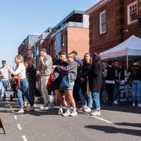
I squeezed through the busy market and grabbed some ham and some cheese, then exited through the farm shop where I picked up a bottle of milk (an actual glass bottle that I can wash and bring back for a refill; they're like that around here) and some veg. Oh, and a honey and chia seed flapjack. Well, it is the weekend...
I headed here for a take-away flat white for the walk home. I may have to come here for brunch one day soon; I saw a pair of amazing looking brunch plates being delivered as I was waiting for my coffee. Looking at the brunch menu it could have been the Bubble and Bacon, and the Turkish Tagine.
Work on the New Cut, this man-made diversion of the river to allow the harbour to float free of the tide, was officially started on 1st May 1804 and finished on 1st May 1809, with something of a party:
On 1 May 1809 the docks project was certified as complete and a celebratory dinner was held on Spike Island for a thousand of the navvies, navigational engineers who had worked on the construction, at which "two oxen, roasted whole, a proportionate weight of potatoes, and six hundredweight of plum pudding" were consumed, along with a gallon of strong beer for each man. When the beer ran out a mass brawl between English and Irish labourers turned into a riot which had to be suppressed by the press gang.
Northern Clifton
16 Jan 2021
A raggedy wander with my friend Lisa, picking up a few stray streets and venturing only briefly onto Whiteladies Road, where it was too damn busy, given the current pandemic. We retreated fairly quickly. Found a couple of interesting back alleys, and got a very pointed "can I help you?" from a man who was working in his garage in one of the rather run-down garage areas behind some posh houses, and clearly didn't want us just wandering around there.
The gates to Whiteladies House, which is the building on the right here. (in the distance is Oakfied Court, which has its entrance on Oakfield Road.)
I believe this is the original pumping station that used to power the pumping of water from this reservoir to the reservoir on Clifton Down, next to the water tower. Next time I'm here I'll have to check out the rumour that there's a clear line of sight from here to the Downs, partly provided by a Bristol Water bungalow on Upper Belgrave Road. Mind you, even if it is a true story, the view's probably been blocked by some modern building or other by now...
Very Local
06 Nov 2020
It's surprisingly easy to overlook the giant Wesleyan Grenville Chapel—now converted into flats—if you've lived here a while. Other sights that seem to slip from my memory include the modest Ashton Avenue, a tidy terrace of little houses on a road that presumably gave its name to the Ashton Avenue bridge.
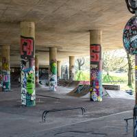
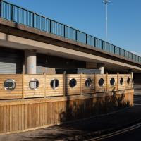
Rear seating area at the under-flyover Lockside restaurant (The Venturers Rest, and Popeye's Diner as-was, as well as being Sid's Cafe in Only Fools and Horses.)
Library, Bookshop, Coffee
03 Jul 2021
I was headed into town to return RA Gilbert's biography of AE Waite to the library and along the way I noticed that Dreadnought had finished their refurbishment, but wouldn't be open until midday. That left me some time to kill, so I bimbled around the old St Augustine's/Gaunt's area for a while, then headed up Park Street for a coffee and a snack to eat on Brandon Hill before heading home the way I'd came so I could pop in and buy a pamphlet on the Hot Well I'd been interested in for a while.
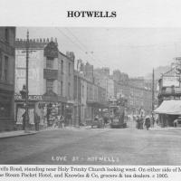
Circa 1905. See the previous photo for the modern-day version. Several of the houses on display were destroyed during the blitz of 24 November, 1940.
I'd never heard of this being called Love Street before. It does seem that it was, though: I just searched through all the various digital research materials I've gathered during this project and found this tidbit in A Bristol Miscellany:
It is proposed to drain the whole of this district by means of a low level sewer commencing at the bottom of Woodwelllane or Jacobs Wells road nearly opposite Woodwell crescent passing along the whole length of the Hotwell road and Love street to Dowry square continuing along in front of Dowry Parade and the Gloster Hotel passing the bottom of Granby Hill in front of Ashton place to Saint Vincent's Parade at which point it will receive the sewage from the Royal York Crescent, the West Mall and Caledonia Place, from which point it will continue along in front of Hotwell House underneath the rocks to the towing path in front of Point House at the Round Point to the present outlet of the High Level Sewer District being about 1,100 yards below the Hotwell House.
...but no other mentions than that one. Looking around the web, I can see a few more references, including this delightful business card for Hotwells gardener John Waldron.
I did idly wonder if "Love Street" might've been a euphemism for something, at some point? There were an awful lot of sailors coming off boats nearby! But perhaps it was simply a nice name for a nice stretch of road...
Photo from Hotwells and the City Docks, ISBN 9781899388288
I imagine this is the house whose owners also own the plot with planning permission; it seems to be the end of their back garden.
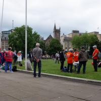
A protest was starting to form on College Green on my way past. As well as this one, there was also a Kill the Bill march that closed the M32 followed by "delirious" England fans having a mass celebration in the city centre, so I'm glad I wandered home pretty early. I wouldn't fancy being the Bristol Waste cleaning team as I write this, on Sunday morning...
And the subtle spoor of a police horse, I imagine, given how many protests and football fan excursions were going on...
This may be the least salubrious bit of the Old City. End of the alleyway behind Toni and Guy, just behind the back of the Greenhouse on Park Street. The most glamorous thing I passed was two hairdressers having a fag.
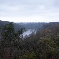
A long ramble, starting with trying to find the Hot Well of Hotwells and leading up the side of the Avon Gorge to the Downs and then through Clifton for coffee.
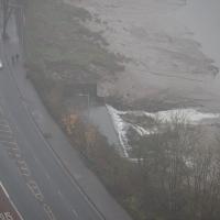
In full flow. The flat top of the water to the left of the overflowing rim sits above a semicircular-profile concrete trough that's designed to calm the water and channel it into the fairly calm wide flow you see here to reduce the erosion it would otherwise cause.
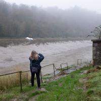
Vik and I often just stand back calling helpful advice like "please don't die!" when Sarah's off getting a picture from some liminal space or other.
Hotwells and Clifton/Clifton Village
14 Nov 2020
A local walk with my friend Lisa in tow, including a coffee from the cafe in the Clifton Observatory, where I have fond memories of experiencing my first camera obscura, and cake from Twelve in Clifton Village, one of my favourite recent finds for both food and flat whites.
Clifton Village, including Oxford Place
15 Feb 2021
I've noticed Oxford Place as a tiny little side/back road I've overlooked on my wanders a few times. Today I decided to pop down and have a look, as well as taking a few general snaps of Princess Victoria Street, which I thought deserved more pictures, as it's basically my closest decent shops, and in the Beforetimes I'd visit the Co-Op up there all the time, as well as the cafes (you'll be missed, Clifton Village branch of Boston Tea Party, recently closed in favour of Eat a Pitta.)
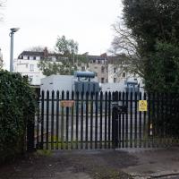
I'm definitely becoming more familiar with the area through the One Mile Matt jaunts and associated reading. Today I didn't just think, "oh, I'll head home down that weird alleyway with the electrical substation in it"—no, I thought, "I'll head home down Hanover Lane", because I actually knew its name. And on the way back from there I nodded sagely to myself as I passed St Vincent's Road, knowing now which St Vincent it's likely to be (St Vincent of Saragossa) and also eyed up the modern flats on Clifton Vale and wondered if they might have been built on the site of the former Vauxhall Pleasure Gardens... I don't know all the answers, but at least I have some idea of the historical questions I'm interested in.
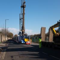
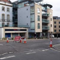
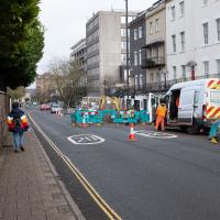
Not sure why they're digging up the road this time. Last time there was a burst water main at the corner of Merchants Road.
There's no reason to enter Oxford Place unless you live there or are visiting someone who does, so I've never been down here before.
Never been in in its current incarnation. Can't remember what it was called before, but it's the only place I've eaten posh enough that I had to pick a bit of shot out of the partridge. As Wallfish it's had a lot of good press, including from Jay Rayner ("a kitchen skilled in all the right departments".)
Edit: having checked, it seems it's just shut, and will be consolidating with a restaurant called Wellbourne on the Mall, around the corner. Ah well. I probably won't eat there, either.
Last time I was in I saw a jazz gig in the back room. It wasn't entirely my cup of tea, but hey, it was better than being cooped up at home for a year, so Yay! for the Beforetimes.
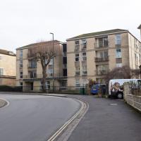
I've barely ever noticed the two modern blocks there. They blend in rather well with the Georgian stuff.
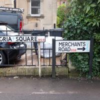
Tempting to put a tiny sign up in between to claim a name for the 20cm of road in between the signs.
I got past just before the bloke managed to pull-start his jackhammer. My ears were glad.
It's hard to get a good picture of Cornwallis Crescent, because there's nowhere you can easily overlook it, and because it's convex, so you can't stand at one end and snap the other.
This is one of those difficult junctions that everyone locally knows how to negotiate, but is often flummoxing to visitors; it's busy, and at the top of the very steep Clifton Vale, out of shot to the left, you have to be very careful not to meet something turning down this blind dogleg from this direction or from Cornwallis. If your clutch control isn't good it can be quite a harrowing experience.
