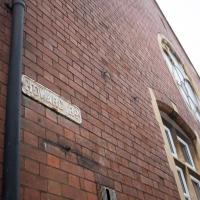
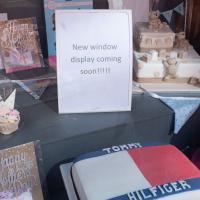
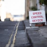
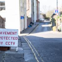
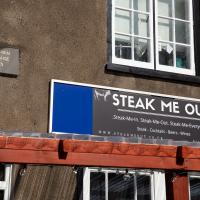
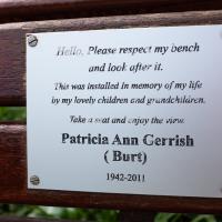
Tagged: font
I noticed I'd missed a bit of Circular Road and Ladies Mile, and it was a nice evening for a sunset wander up to Clifton. There was something I recorded along the way, not photographically but in video.
Bristol Zoo, the world's oldest provincial zoo, has recently decided to close its Clifton site after 185 years of occupation, which means that the sounds of wild animals will no longer drift incongruously through this leafy Georgian area. They're moving everything up to their existing second site, The Wild Place Project near Cribbs Causeway. As I was wandering the Downs, I heard some fierce roaring noises, so I decided to see if I could get a little closer while they were still going on and record a sound that's soon to disappear.
I don't have a way yet to put video directly on this site, so here's a link to the video of my attempt to catch a bit of the zoo noises that I just popped on YouTube. It's sad that this might be the last time I hear such noises in Clifton.
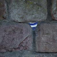
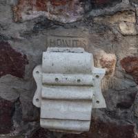
Is it still a potsherd if it's from a plate? (I just checked the dictionary, and apparently it is...) This one's embedded in a wall on Windsor Place.
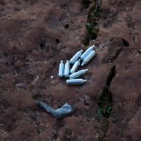
So named because they're often extracted from whipped cream cans.
Nitrous oxide is a common recreational drug. It was Thomas Beddoes and Humphrey Davy who pioneered its use, at the Pneumatic Institute on Dowry Square, coining the name "laughing gas" and inviting friends like Samuel Taylor Coleridge to give it a go, so I don't suppose we can criticise the local youth too much...
The Very Special Wildflower Meadow hasn't got any flower in it yet, that I could see. But I suppose it's only April.
An Evening Wander to the Gallows
06 Apr 2021
I'd originally intended just to pop up to the area around Alma Road, where I'd missed a few streets on earlier wanders. It was such a nice evening, though, I decided to extend my walk up to the very top of Pembroke Road, just outside my one mile radius, to take a few snaps of something intriguing I'd found in my researches.
I've driven, walked and jogged past the little triangle of land at the top of Pembroke road a great deal in my time in Bristol, but I didn't know that it used to be the site of a gibbet, in fact that the road itself there used to be called Gallows Acre Lane. According to the Durdham Down history trail, by Francis Greenacre (an excellent name for a Downs researcher!) among other sources:
...it was below this quarry near the top of Pembroke Road, once called Gallows Acre Lane, that a gibbet stood. It was sometimes occupied by those who had committed robberies on the Downs and was last used in 1783 to hang Shenkin Protheroe for the murder of a drover. Stories quickly spread that he descended from the gibbet at midnight every night and stalked through Clifton. Such was the alarm that his body was cut down
and buried.
Also very close to this little triangle of land was one of the gates of the extensive turnpike system...
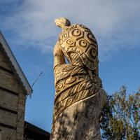
Anyway. Along the way I encountered a wooden tortoise and a real squirrel, among other things. It was a good walk, and more light in the evenings means I can move my wanders out of the ticking countdown clock of work lunch-hours and be a bit more leisurely.
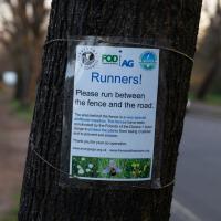
There's a lot of outdoor trails of one kind or other going on, what with the current cicumstances.
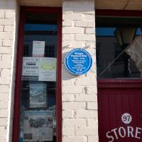
The late, great Maggie Shapland was a familiar feature to anyone interested in historical industry in Bristol.
I think the first time I saw her was on an Open Doors Day for the Clifton Rocks railway, the disused funicular from the Avon Gorge Hotel down to near the landing stage in Hotwells, and the last time was when she was helping to restore Brunel's Other Bridge at Howard's Lock.
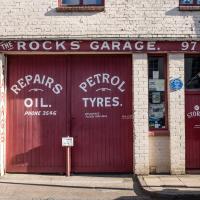
Both times I think she'd driven there in one or other of the classic cars she maintained. Sometimes when the garage door here was open on the way past you could sneak a look at the collection.
The last thing I saw her drive was this Moss kit car.
An amazing person by all accounts, I never knew that we shared the profession of "Database Consultant"...
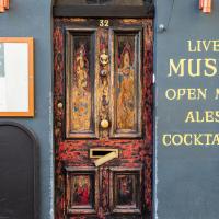
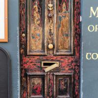
It's a great door, and I really couldn't find the best way of capturing it. Ah well.
Although the low sun was a bit annoying for some photos (and for walking directly towards) it did bring out some of Clifton's features very well.
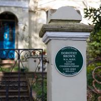
The Guardian's obit calls her "a saviour of historic Bristol".
At that time, there were 400 buildings in the city earmarked for demolition but Dorothy, who was instrumental in their listing, managed to save most of them, including the 18th-century Brunswick Square in St Paul's, via many public inquiries. Among her later successes, Dorothy helped to save the Clifton lido – dating from 1849, it is one of the oldest surviving lidos in Britain – which nearly succumbed to a developer's bulldozer in the late 1990s.
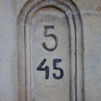
I wonder if this is another street that's been renumbered. It's 45 Apsley Road, but I guess this particular terrace (see next pic) might have had standalone numbering in the past.
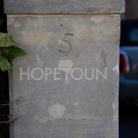
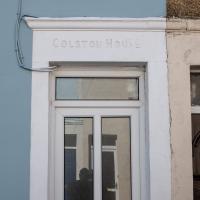
I thought it sounded Scottish. Hopetoun House is allegedly Scotland's "finest stately home". Not sure why there's one in Clifton, too.
Clifton Village Lunchtime Coffee
07 Apr 2021
Unusually for my recent lunchtime coffee trips, I managed to find a new road to walk down: Caledonia Mews, which has a little entrance off Princess Victoria Street and runs between it and Caledonia Place. I've noticed it before a couple of times—if you look up from Princess Victoria Street you can see some of it, standing tall above the low buildings on the street itself—but until last night I'd not set foot in it, I think.
As well as focusing on this charming little mews, I looked in on the demolished site of the old WH Smith, and spotted what I think is part of the now-private-houses St Vincent Rocks Hotel that I'd not really noticed before, tucked away between Sion Lane and Sion Hill.
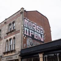
I'm glad I added a search feature to the site recently, as it let me find this earlier photo when the name rang a vague bell. Morsa clearly gets about a bit.
A London Wander in Southville
10 Apr 2021
There's a bit of Southville that I've been meaning to get to for some time, where the streets seem to take some strong inspiration from London. There's a Camden Road that crosses with an Islington Road, and a Dalston Road, even an Edgeware Road. For me these names are more evocative than the rather more exotic names I passed by to get there—Sydney Row or Hanover Place, say, because I've actually been to the places in London. The last time I was in Islington I saw Monkey Swallows the Universe play at The Angel, and I can't think of Camden without remembering a gondola trip with my friend Tara where a cheery youth played Beatles music for us on a saz...
I really liked this little area, with its mostly well-kept pretty houses and hints here and there of the creative side of the residents. It's arty and down-to-earth at the same time, and I wouldn't mind living there, I think.
On the way there I got the chance to walk through Underfall Yard for the first time in a while, and on the way back I had my first take-away hot food for many months, grabbing some crispy fried squid from the excellent Woky Ko at Wapping Wharf.
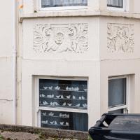
It was actually the decorative stone carvings of animals that caught my eye, but the birds in the window stand out a lot more in the photo.
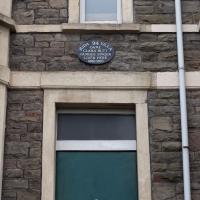
A famous contralto, apparently. Contralto Corner quotes Sir Thomas Beecham:
"On a clear day, you could have heard her across the English Channel"
...and notes that:
She gained her DBE as a result of the WWI concerts that she organized.
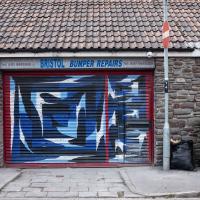
I've actually looked this place up with a view to getting a bumper repaired. Apparently he's very good.
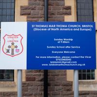
It's the Malankara Mar Thoma Syrian Church, often shortened to Mar Thoma Church:
Reformed Oriental church based in Kerala, India. While continuing many of the Syriac high church practices, the church is reformed in its theology and doctrines. It employs a reformed variant of the West Syriac Rite Divine Liturgy of Saint James, translated to Malayalam.[
It surprised me to find it on a random street in Bedminster, but I don't know much about religion, or Bristol's Syrian community, assuming that that might be the flock, in general?
Long Bemmie Wander with Lisa
11 Apr 2021
My friend Lisa joined me again, this time for a long wander through "Bemmie". In fact, I tweeted recently using "Bedmo" as my abbreviation for Bedminster, and apparently there's something of a culture war going on. From what I can glean, the longer-term residents call it "Bemmie" and consider "Bedmo" a name made up by hipster gentrifiers.
I had no idea, but then I didn't grow up around here, and I don't live in Bedminster, and I'm not a hipster. I'm not sure I've ever gentrified anywhere, either; Hotwells was already quite gentrified by the time I arrived. I probably just lowered the tone a bit.
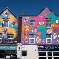
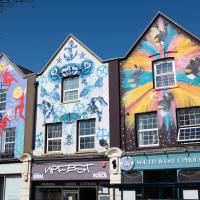
Anyway. Lisa and I entered Bemmie by the traditional toll gate (though actually you'd only have paid if you were coming from the Long Ashton direction, not merely nipping across from Hotwells) and then almost literally combed the streets to knock several new roads off my list of targets. Along the way we saw lots of street art, as you'd expect, and admired the area's panoply of gorgeous knockers.
A piece by Dale Grimshaw. There's a great little piece on this here at Diff Graff, including some details of the migrating swarm of bees that interrupted the painting...
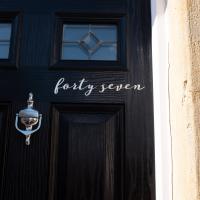
I think this was both my and Lisa's least favourite house number. (It's worse in person; it's glittery.)
Better Look at an Extension
14 Apr 2021
Apart from a lovely coffee and a slice of Victoria sponge from Twelve, there weren't any new sights on this little lunchtime jaunt except for a slightly better look at the long raised extension at the back of the St Vincent's Rocks Hotel, where I at least got to see the arches it's raised up on. I also got a fair bit of exercise by walking up the Zig Zag to get there, and saw far more people out than I have in months, what with the lockdown having just been significantly lifted. As I walked past The Mall pub they were turning people away from their already-full garden, and the (outdoor) cafe tables were pretty full up.
Coffee, Pirates and a Spitfire
15 Apr 2021
Just a quick trip to Imagine That for a flat white and a date ball (they're really nice), snapping the general sights along the way. No new roads, as has rapidly become the default on my lunchtime wanders, but as I'm in the routine of this project it almost seems strange not to pop my wanders up on the site.
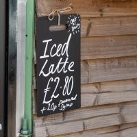
I've not had one yet this year. It's still a bit chilly for me to indulge in iced drinks.
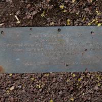
Have I ever noticed this plaque screwed into Cumberland Piazza before? Was it previously covered up by one of the massive rocks in the row here? Either way, we've seen the Found Installation Group's work before...
Desultory Coffee Wander
16 Apr 2021
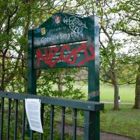
Another day, another quick dash out for a coffee. I did at least try to take a different route from normal, especially on the way back, where I yet again got a bit lost in the strange paths, flyovers and underpasses that make up the odd maze of pedestrian "infrastructure" among the concrete jungle between the west of Greville Smyth and my neck of the woods in Hotwells. I swear one day I'll take a turn I've not tried before and end up being gored by a Bristolian minotaur.
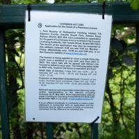
I'd heard there was going to be something of a wild party in Greville Smyth to mark the end of lockdown. It seems it may be the start of a regular thing, with a dance festival bringing 8,000 people to the park. I imagine I'll be able to hear it from my place, and therefore safely avoid it.
Man on a Mission
17 Apr 2021
I went rather outside my area today, as I went to pick something up from the Warhammer shop on Wine Street (Games Workshop as-was, and before that I think perhaps a rare retail outlet for Her Majesty's Stationery Office? I may be mis-remembering...) Anyway, a friend of mine wanted something picking up and posting to him, so I figured I'd knock some streets off my list along the way.
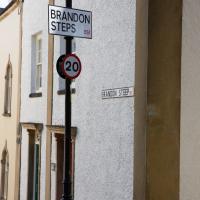
I first headed for the St George's Road area, walking down the narrow Brandon Steps and finding some strange wall art on Brandon Steep, then headed to the Old City via Zed Alley. The Warhammer shop visit was friendly and efficient, and, mission accomplished, I treated myself to a sausage roll and a flat white from Spicer + Cole, to take away and eat in Queen Square with its current decoration of hearts. I finished off with a detour up Park Street, looking out for St John's Conduit markers, before finally crossing Brandon Hill on the way home.
Quite a long wander, all told, and I'm a bit knackered today...
I think the last time I saw this little sign on Queens Parade, it had a rather different message.
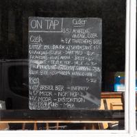
That's a fine selection of beers. In normal times (and a later hour) I could well have been tempted in.
The Mall Gardens
19 Apr 2021
Just a quick errand to the Post Office to send off Mollog's Mob, but afterwards I bought a flat white and a new plant from Foliage Cafe and headed for The Mall Gardens to enjoy sitting in the sun and reading a book on the first day this year that's been properly warm enough for it. Nice.
The Mall Gardens does actually have some signs up letting people know it's a public garden, but I think it was only my researches for this project that brought the number of public gardens there are in Clifton to my attention, and reminded me that I could make use of this space in Clifton Village, a little closer to the coffee shops and a little more sheltered than Clifton Down.
