Tagged: water
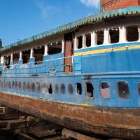
I'm afraid that this is a bit of a badly-curated wander, where I mostly just popped out to find out a little of the history of Underfall Yard and poke around the various open workshops, and, in hindsight, really didn't take pictures in any kind of coherent order. So there's a lot of pictures, but they don't really tell the story that, in hindsight, I seem to have been trying to tell, of the unusual electrical substation in Avon Crescent, the Bristol Electricity that predates the National Grid but is still in use, the history of the hydraulic power house... It's a bit of a mess.
But I suppose sometimes these wanders—always chronologically presented in the order I walked and took photos—simply will sometimes be a bit of a mess. Let's hope you still get something out of it, anyway...
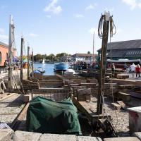
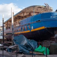
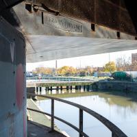
The patent slip itself. Even empty, it would be quite a weight to haul in and out of the water, let alone with the size of ship it sometimes deals with—if the Matthew were winched up in this photo, you wouldn't be able to see much sky.
Man on a Mission
17 Apr 2021
I went rather outside my area today, as I went to pick something up from the Warhammer shop on Wine Street (Games Workshop as-was, and before that I think perhaps a rare retail outlet for Her Majesty's Stationery Office? I may be mis-remembering...) Anyway, a friend of mine wanted something picking up and posting to him, so I figured I'd knock some streets off my list along the way.
I first headed for the St George's Road area, walking down the narrow Brandon Steps and finding some strange wall art on Brandon Steep, then headed to the Old City via Zed Alley. The Warhammer shop visit was friendly and efficient, and, mission accomplished, I treated myself to a sausage roll and a flat white from Spicer + Cole, to take away and eat in Queen Square with its current decoration of hearts. I finished off with a detour up Park Street, looking out for St John's Conduit markers, before finally crossing Brandon Hill on the way home.
Quite a long wander, all told, and I'm a bit knackered today...
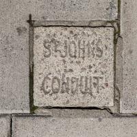
I found another marker for the 13th century Carmelite lead water pipe that runs under Park Street.
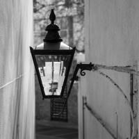
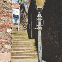
Not sure which treatment I prefer, though they are also different photos: this one seems to emphasise the alley more to me; the previous pic the lamp.
Nothing New
02 Dec 2020
This may be the very first time I've gone for a One Mile Matt wander and not actually gone down any new roads, trod any new steps. I just wanted a coffee, frankly, so I went the same old way to Imagine That in the marina and back again.
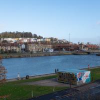
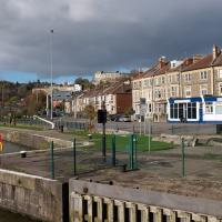
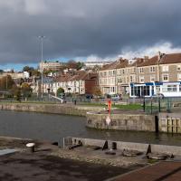
I'm always a little worried that one day a swan's going to get garotted by this wire strung across the bit of Cumberland Basin behind the little causeway. It's used by the water football (?) people to string their goal up.
Coffee Run
31 Mar 2021
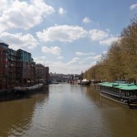
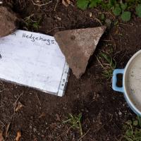
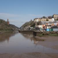
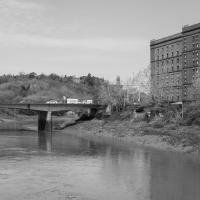
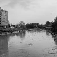
Not a literal run, but I didn't hang about, as I had a job interview to get to (I was an interviewer, not the interviewee, but you still have to be there on time...) Along the way to pick up a lunchtime coffee I mostly seemed to take photos of the high tide, though I also came across a bit of outreach work for small spiny mammals...
"...struggle with dehydration, especially when it's hot or very dry. Leaving out a shallow bowl of water can make all the difference. Can park uses keep this bowl topped up to help wildlife?"
Mokoko
26 Oct 2020
A dash around the harbourside to see if I can get to Mokoko and back in my lunch hour.
This was my first wander and I was still getting the hang of the technology. I managed to record only part of the way back on my GPS, by the looks of it, so I've had to bodge things a bit to pick up the photos, which is why there are photos in places the track doesn't reach!
I also need to fix a few technical things including managing my photo timezones more carefully. This wander was the day after the clocks went back for winter, and I think my camera may still have been in BST, which may not have helped me tie things up. Need to do a bit of research into how my cameras, Lightroom and the code I'm writing on this website handle BST and GMT, but at least I have until the last Sunday in March before things get urgent, I think...
Bedminster
31 Oct 2020
Starting up close in Hotwells with a few bits around the Cumberland Basin flyover system, I walked to Bedminster and back on Hallowe'en, including finding some excellent decoration work.
Not sure I've walked along the flyover here. Have I ever seen the Cumberland Basin from this angle before?
I don't normally do HDR photography, and I still find this looks a little unnatural, but hey, it was just an experiment.
Local
03 Nov 2020
A very local exploration today, but there are still bits of the near field that I never need to walk down, so it didn't take me long to find somewhere I haven't been in a decade or more, the little enclave of smaller Victorian houses around Oldfield Road and Sandford Road. I'd really like to live in one of those houses, but I doubt I could afford it.
I think the "TS" is Training Ship, but I was in the Air Cadets, so I don't know for sure.
Baltic Wharf and Marina
04 Nov 2020
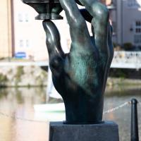
You never know what you'll find when you go for a walk in Bristol. This gorgeous Mustang was in the Marina car park. Nice. I also surprised myself by getting a good photo of The Hand (to give it its full title, Green Hand of a River God, by Vincent Woropay. Thanks, @mfimage!)
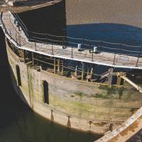
I can't recall walking around this side of the Plimsoll Bridge pivot before, for no other reason than habit, I think.
Morning Mist
05 Nov 2020
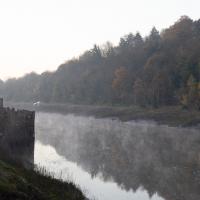
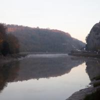
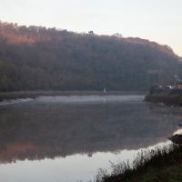
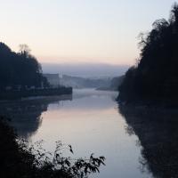
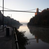
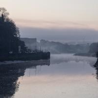
I spotted the fog and decided to go for a morning walk rather than a lunchtime walk today. It was cold on the Portway, but it was worth it. Most of my One Mile Matt photos are "record shots", but it's nice to get the chance to do something a bit more artistic.
Very Local
06 Nov 2020
It's surprisingly easy to overlook the giant Wesleyan Grenville Chapel—now converted into flats—if you've lived here a while. Other sights that seem to slip from my memory include the modest Ashton Avenue, a tidy terrace of little houses on a road that presumably gave its name to the Ashton Avenue bridge.
