Tagged: landscape
Easter Monday Gardens and Flowers
18 Apr 2022
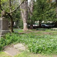
I didn't really set out with a theme of flowers and gardens in mind for this walk. I just fancied heading up to Clifton Village to get lunch. As it turned out, though, Spring was springing, so a minor theme emerged as I started off with the graveyard flowers of Hope Chapel and wandered up to see the beginnings of the new wildflower garden at Clifton Hill Meadow.
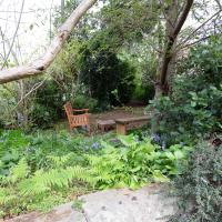
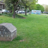
A lovely garden. Sadly a little lacking in facilities at the moment, after some scrote (or presumably a team thereof) had it away with their cast iron table and chair set at the end of March. This is why we can't have nice things, etc. etc.
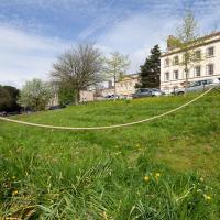
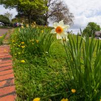
This is the south end of Camden Terrace's little private garden, seeing as I seem to be on a bit of a garden and flower theme at the mo.
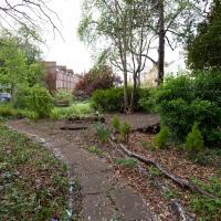
This is one of the three experimental areas. Nothing too apparent so far, but it's early dyas.
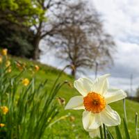
I left it a bit too late for a host of golden daffodils, most are on the turn. So here's a close-up of a selected still-perky individual.
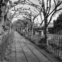
Moving on from Clifton Hill, I fancied wandering through Lime Walk.
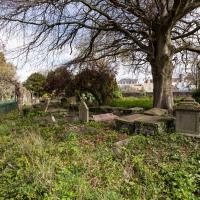
I always take a look for interesting graves as I wander through St Andrew's churchyard, and there's been quite a lot of ivy clearing recently, so there's more on display.
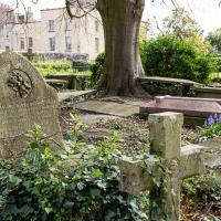
...doesn't sound like the kind of man who would appreciate the somewhat lax attitude his gravestone is taking to uprightness.
I rather like the stone drape across the funerary urn on the pedestal. Plenty more flowers on show, too. This is the bit where most of the squirrels hang out; I imagine they're in favour of the new dogs-on-leads rule.
A Swing of the Plimsoll Bridge
24 Apr 2022
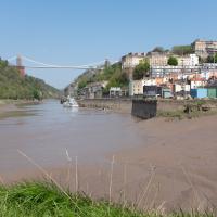
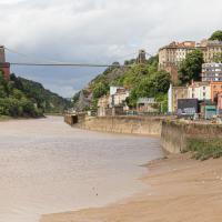
I was originally going to head over to the Ashton area to see if I'd missed any bits around the football stadium—and also to grab some lunch from the Tobacco Factory Market—but in the end I got a little distracted by having accidentally chosen exactly the right time to see the Plimsoll Bridge swing on one of the first busy days of Spring, where a lot of pleasure trips tend to head out down the Avon (and possibly the New Cut) from Hotwells.
In the end I mostly snapped that, and just a couple of photos from the Ashton area where I grabbed some lunch but didn't do any new exploring.
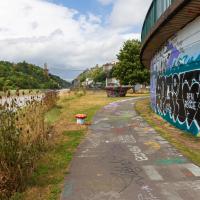
...as I look hopefully down the river to see if there's a single sign of the Chocolate Path re-opening, as I have done dozens, possibly hundreds of times over the last several years...
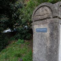
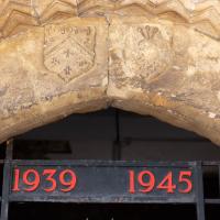
This is a plaque to the Cumberland Basin Stabilisation Works, completed in 1991, about which I can find virtually nothing on the internet. The face is too crumbled to read all the words, but I seem to remember that it's a lot more legible at certain times of year/day when the sunlight slants across its face. I'll keep an eye out for a better photo opportunity.
In the meantime, there's a picture of this entire area being resurfaced while the basin is drained and dredged on this selection of 1991 photos on the Evening Post site, which I'm assuming might have been part of this project.
Ticking Off a Pocket of Paths in Leigh Woods
03 Jun 2022
I managed to go for a wander a while ago that was meant to finish off a little tangle of paths in Leigh Woods, or at the very least finish off my wandering of the Purple Path there. And I managed to miss doing either of those things through some kind of navigational incompetence.
Today I woke up with a bit of a headache, feeling a bit knackered as soon as I dragged myself out of bed, but at least with the energy to realise that I'd be better off (a) going for a walk in what looked likely to be the last of the Jubilee weekend sunshine than (b) moping around the flat until it started raining, at which point I could mope more thoroughly.
I had a look at my map, considered going to Ashton Court, but remembered that there was a music festival there today, and instead found these little leftovers of Leigh Woods and decided to have one more try at walking them.
It's quite the commentary. But then if someone believes they can have their life turned around by a fly-posting stranger, perhaps a warning is a reasonable addendum.
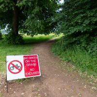
Guessing this is a polite hint from the golf club. In my mind's eye I can see an irate greenkeeper chasing a couple of mountain bikers in his golf buggy.
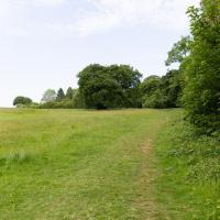
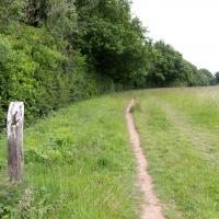
To the left is the edge of the golf course. I'm looking to wander along the edge and the behind the railway, which is behind those trees.
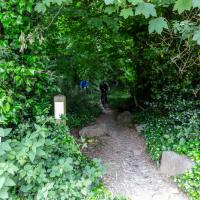
I think I'm pretty much a mile away from my house right here. Nice of someone to erect a marker.
Time to exit Ashton Court and head for my main target at Leigh Woods.
I'm reminded why I like living in Hotwells. In a pretty leisurely hour's walk I can be in the countryside, basically. Or in the centre of town, or Temple Meads station, or shopping on Whiteladies Road, or on North Street... There's a lot of possibility, but it's generally a very quiet area to live in.
I rarely come in this way to Leigh Woods—it's basically the car entrance, and I almost always walk here. On those few occasions I've driven here, I've mostly parked on North Road near my usual pedestrian entrance through sheer habit, rather than driving in and using the official car park that's actually in the woods.
A Quick Swing Past Ashton Court
05 Jun 2022
Another day not dissimilar to my last wander: I'm feeling a bit tired and rather than just moping around the house I thought I'd find some tiny bit of somewhere that I'd not yet walked and get outdoors. This time I headed for the Tobacco Factory Market in Bedminster, as I often do, but went the long way around via Ashton Court Mansion as I knew there were some footpaths and a small section of road I'd not ticked off up there. Finishing all the Ashton Court footpaths will be quite a long job, but you've got to start somewhere...
I did feel rather better by the time I got home, and, pretty much astoundingly given the weather forecast, managed to avoid the rain completely.
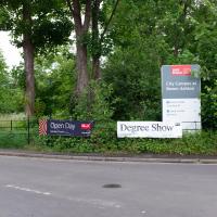
Ah, so not only is it the Bristol Triathlon next weekend, but it's also the UWE degree show. That's usually worth a look-see. Mind you, it's also Clifton Open Gardens, so maybe I'll see what the weather's like before I make a choice. UWE's Bower Ashton campus can be absolutely sweltering on a warm day, from what I remember, so I might be better off sipping Pimms in a garden if it's too sunny.
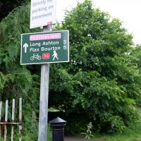
I like the sound of "Flax Bourton". I keep on meaning to dust off my bike; maybe a trip along there would be an interesting day trip. Might want to make sure I can still ride comfortably before I try a ten-mile round trip, though...
Hard to do this tree justice, as it was both wider and taller than the widest angle of my camera, and any further back the fence gets in the way.
Of course, if I'd brought a full-frame camera with a wide-angle lens, this is exactly the moment when a peregrine falcon would land on a branch at the same time a magnificent stag wandered past in the middle distance. You never have the right lens...
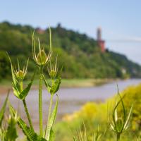
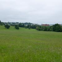
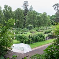
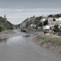
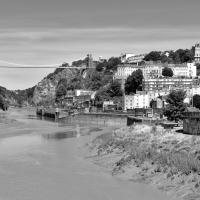
I do enjoy the bits of my walks where I can look back and see Hotwells, or at least the higher bits surrounding Hotwells.
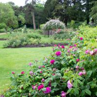
Alan Barber, late campaigner for public parks and green spaces, helped design this rose garden at Ashton Court, and it was dedicated to him in 2008.
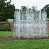
Trasparenza, by Andrea Greenlees, originally built for Burning Man in 2016. It has transparent benches inside, but it looked a bit of a tight squeeze, so I left the children of the family that arrived a couple of minutes later to it. They seemed to enjoy exploring. There's a view from the inside on Andrea's Instagram.
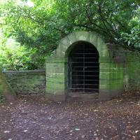
I was 99% sure this was an ice house, and a quick search finds a confirmation from Weird Bristol.
I've been pretty awful at reading so far this year, apparently averaging about one book per month. That's a far cry from 2019, say, where I got through 41 books in the year. Today's wander was prompted by my rubbish reading, as I needed to go hand back some books to the library, because I'd managed to renew them so many times that I hit the limit on renewals. Oops. Several of them were still unread.
So, off to the Central Library for me, tail between my legs. On the way there I did my best to recreate a historical photo of Dowry Square; while I was in the area I walked under the adjacent Norman arch and poked around behind the Cathedral, and I also had a little diversion to the city centre and came back along the south side of the river, hitting some trouble with the lock gates as I finally crossed the harbour back towards home.
"Porter's lodge and gateway to Augustinian monastery, now school. Mid C12 archway in C17 house, rebuilt mid C20", says the listing.
This was on the gate of the rather nice garden at the end of Frayne Road, near the toll house.
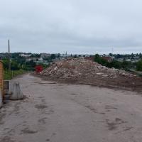
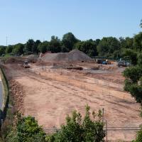
I'm in the habit of going over to the Tobacco Factory Market on a Sunday. I think I've walked all the routes around that way, but as a Plimsoll Bridge swing let me cross the road to the far side of Brunel Way on my return journey and I took a couple of photos of the brownfield development at the old Ashton Gate Depot site I thought I'd call it a Wander and pop some photos up.
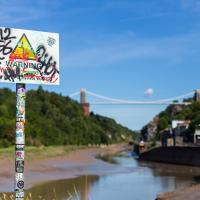
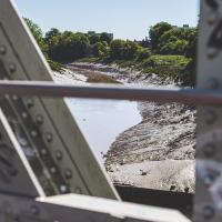
"STEEP DROP INTO MUD AND FAST FLOWING WATER".
This sign has been mildly annoying photographers since it was put up, getting a bit in the way of several alternative views from this bit of land. I presume it was installed in response to some kind of accident, but I'd hazard a guess that whatever difficulties someone got into probably wouldn't have been prevented by a sign that stated the completely bloody obvious.
But, of course, no Metrobuses, as they don't do anything as useful as running on a Sunday.
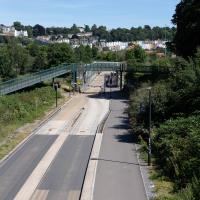
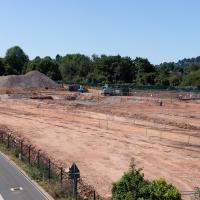
I took two shots from the south side of Brunel Way, a slightly different vantage point from my usual snapping point at the end of Spike Island down below. I'm not sure if I prefer this colour one...
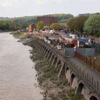
I walked back to the point I'd spotted all this activity from the far side of the road. This is the old tile merchant/concrete works/Ashton Gate Railway Depot/Bristol International Exhibition site. I imagine it was plenty of other things along the way, too. Here's an earlier snap with a bad photo from the far side of the site, but some detail on what the site was/will be along with a link to planning documents.
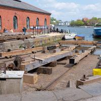
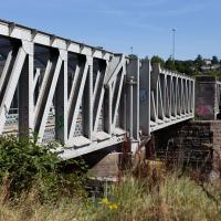
I'm currently toying with the idea of a little mini-website that takes a digitised and vectorised version of the Bristol International Exhibition plan (from 1914) and superimposes it on the same area today. It'd be interesting to see exactly where things were. My best guess from eyeballing it at the moment is that in 1914, this view would be looking towards the International Pavilion, Concert Hall and Art Gallery areas of the Exhibition, and we'd be standing on the train tracks that used to head for Ashton Avenue Bridge, which back then would have been a double-decker road and rail swing bridge, with the trains on the ground level deck, the road on the top deck, and a high-level swing control room above it all. Quite some feat of engineering.
I wonder how many different things this patch of land has been over the years? I imagine it was one of the choice "brownfield" sites for some new flats down here. It's certainly doing its best to look very "brownfield" today!
Nipping Up the Zig Zag to the Shops
19 Aug 2023
It's been a long while since I did one of these walks.
I'm thinking of finishing up the project by walking one or two last bits of road, thus being able to declare with all honesty that I've done my best to walk every public road within my mile (and quite a few alleyways besides.) As a prelude, and just because I felt like it, I decided to drag out the camera and GPS on this little wander to the local shops.
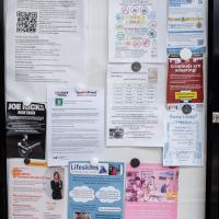
Also looking nice and fresh since my last wander is the pair of community noticeboards, with a plethora of local news.
I found out recently that I was a winnner of one of the Hotwells & Cliftonwood Community Association 500 club prizes, which, alongside my membership, is a fun way to give money to the local organisation that puts up these noticeboards and does so much else for the community.
My exercise for the day is to be a short sharp shock: first we descend down Hinton Lane to the Hotwell Road, then I'm going to ascend the Zig Zag, and possibly die in the process. My fitness has suffered recently because although I've been keeping my step count up it's mostly been on the fairly flat commute to work and back, so hills are coming as a bit of a shock to the system at the moment.
I did take a couple of other pictures of zigs and zags in the Zig Zag, but they didn't turn out too well; possibly my hands were shaking too much from the exertion of climbing this violently steep old track.
From near the top of the Zig Zag you can look down a couple of levels and see how vertiginous it is.
