Tagged: bristol
Clifton Village: Jesus and the Tympanum
12 Nov 2020
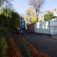
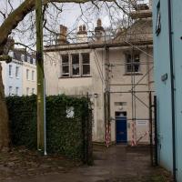
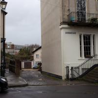
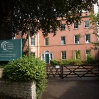
My goal is walk down every public road within a mile of me; sometimes it's not easy to tell what's public. I've passed the turning for Cornwallis Grove a thousand times, but never had a reason to venture down it, and although the street signs at the end seem to be council-deployed and I didn't spot any "private" signs, it's a gated road and definitely feels private.
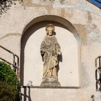
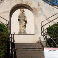
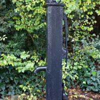
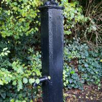
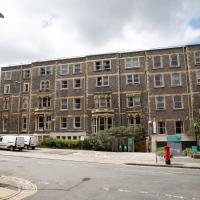
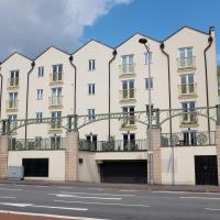
Gathering all the white middle-class privilege I could muster, I wandered down and was rewarded with the sight of a Victorian pump, a statue of Jesus, and from the end of the road, a view of a private garden that once belonged to a private girls' school.
The Cornwallis House history page says:
In the early 20th century the house, together with Grove House, became a Catholic school, St Joseph’s High School for Girls.
The Congregation of La Retraite took over the school in 1924, with the nuns living in Grove House while the schoolrooms were
in Cornwallis House. The headmistress was Mother St Paul de la Croix (Sister Paula Yerby). By the 1970s La Retraite High
School had around 700 pupils.It closed in 1982 and the building was bought by Pearce Homes Ltd (now part of Crest Nicholson) who developed it into 21
flats. Grove House next door was bought by the Bristol Cancer Help Centre, and was later converted into flats in 2007.
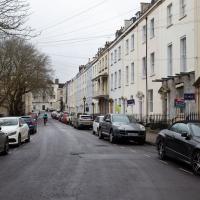
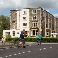
Glendale. One of those streets that's just around the corner from me, but that doesn't take me anywhere I ever need to be, so I've probably only walked up it half a dozen times in the couple of decades I've lived here.
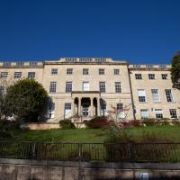
According to the history page on its website, it's been everything from the private residence of the wealthy nephew of a shipping agent who had a hand in the slave trade, to a Protestant nunnery and a Catholic school, St Joseph’s High School for Girls. It's now residential.
This is opposite Grove House, but I'm wondering if it might be a remnant of the adjacent Cornwallis House having been a Catholic girls' school or a Protestant nunnery. All I know is that I've walked past the end of this road a thousand times without knowing how close to Jesus I was.
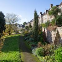
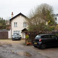
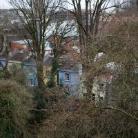
Cornwallis House's extensive private garden, with the back of York Gardens serried at the top.
A Promenade on New Year's Day
01 Jan 2021
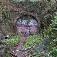
I wandered along the gorge today and found the entrance to the disused Portnalls Number 1 railway tunnel of the Bristol Port Railway and Pier. The door was unlocked, but as soon as I opened it I felt a sense of current habitation and decided discretion was the best option. There's a lot of people homeless in Bristol at the moment, and they don't need disturbing. For the same reason, I've omitted posting some pictures of a little encampment somewhat off the beaten track of the new Zig Zag, where I reversed direction as soon as I realised I'd come across a current habitation of some sort.
Up in Clifton it took me a little while to work out that the picture of the Promenade I was trying to reproduce was taken from the viewpoint I'd thought, it was just that the Alderman's fountain was moved from the top of Bridge Valley Road to the other side of the promenade in 1987, so trying to use it as my initial landmark wasn't very helpful!
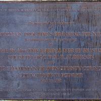
Finally I swung past the Society of Merchant Venturers, who presumably still own most of Clifton, having bought the entire manor, including Clifton Down, in 1676, and I imagine aren't in much danger of running out of money. That's true to their motto: indocilis pauperiem pati is apparently from the Odes of Horace, and translates as "will not learn to endure poverty"...
The older signs in Bristol just say e.g. 8 instead of the full postcode district of BS8.
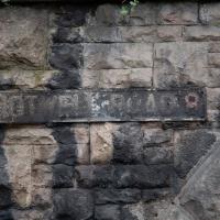
This sign, on the grotto that used to house the last remaining Hot Well pump, is the last Hotwell Road sign before it turns into the Portway. Which seems reasonable, as the Hotwell Road should obviously include the Hot Well...
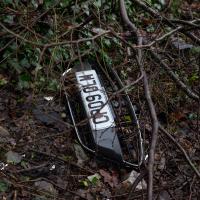
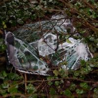
Was, apparently, a blue Ford Fiesta. It passed its last MOT on 24 October 2019, and hasn't been through one since. Can't think why that might have been.
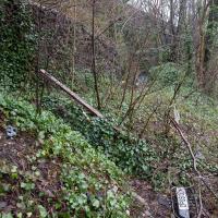
The steps still do the job. The handrail, however, is only tenuously attached to anything at the top end.
This is what I'd been looking for. An accessible entrance to the Portnalls Number One tunnel.
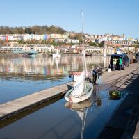
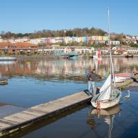
Baltic Wharf and Marina
04 Nov 2020
You never know what you'll find when you go for a walk in Bristol. This gorgeous Mustang was in the Marina car park. Nice. I also surprised myself by getting a good photo of The Hand (to give it its full title, Green Hand of a River God, by Vincent Woropay. Thanks, @mfimage!)
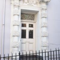
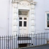
Someone told me, years ago, that someone had got planning permission to convert this building into flats, but had been refused planning permission to remove this handsome historic door. I have no idea how true that story is, but it seems plausible. The building is Granby House, on the corner of Hope Chapel Hill and Granby Hill.
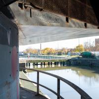
I can't recall walking around this side of the Plimsoll Bridge pivot before, for no other reason than habit, I think.
I considered going down to the end of this engineering bit behind the Harbourmaster's office, but I know it's a dead end and I don't think the woman walking her dog did. It felt like it would be a bit weird to follow someone down a dead end, so maybe I'll go back another day. On the other hand, I don't think it counts as a public road..
Meridian
17 Feb 2021
The long road between Clifton Road and Park Place—the little triangle of grass in front of the Pro-Cathedral, which also houses Quinton House pub, the Park Launderette and Mr Swantons Barbers—is one I've travelled a lot, as it's a nice route between my place and the top of Park Street, especially Ocado. It has many names along the way, even though it feels like just one continuous road. It's York Place, Tottenham Place, Meridian Place and Bruton Place before it finally spits you out onto Park Place.
It was Meridian Place I was interested in today, as I wanted to explore the set of steps that lead down from it in the direction of Jacobs Wells Road. Turns out they lead to Meridian Vale and Meridian Mews, and come out between the Strangers Burial Ground and the Eldon House, opposite the entrance to Bellevue Terrace. I liked the little terrace on Meridian Vale, though they probably don't get a lot of light in the front windows, what with Meridian Place and Tottenham Place towering above them.
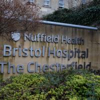
On the way back home I popped into the little lane behind Regent Street that houses the Chesterfield Hospital, as I realised I'd neglected that up until now. It was... unexciting.
I only came up towards Regent Street for coffee, but the queue at foliage cafe put me off and I remembered I'd hadn't been to have a look at the big private hospital around the back.
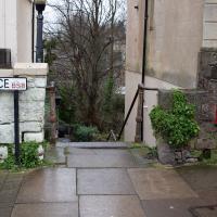
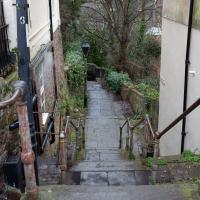
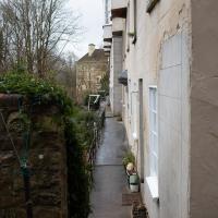
I don't know if they've got an official title, but seeing as they lead from Meridian Place to Meridian Lane, that's what I'm calling them.
I only just noticed what looks like a large ammonite in the wall on the left. No idea what it actually is.
Museum of the Moon, and a Bit of Redland
21 Aug 2021
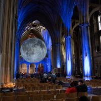
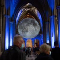
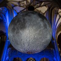
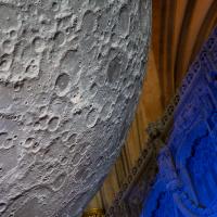
Lisa and I mostly went out to have a look at Luke Jerram's Museum of the Moon as its tour hit Bristol Cathedral—I missed it when it was previously in town, at Wills Hall, I think—but we also took a trek up to Redland. Lisa's kind enough to indulge my strange current fascination with the Edwardian eccentrics that made up the Stella Matutina, so we swung by a couple of places with a vague connection to the Bristol branch of the organisation. Well, it was good walking, anyway...
As a stunning bonus, one of the picture's descriptions has more information than you'd probably want on the Bristol Port Railway and Pier's Clifton Extension Railway line, but I did happen to coincidentally write up this wander after reading about the extension line during my lunch hour at work today. It's a thrilling life, I tell you...
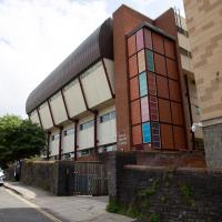
I don't know if there's any connection between the Bristol Hermes Temple and the Bristol Steiner School specifically, but I know that at least one of the Temple Chiefs met Rudolf Steiner and became quite enamoured of anthroposophy, so it's interesting that the school is so close to where Catherine Hughes, one of the first three chiefs, used to live, just down the road from here.
A Longer-than-it-looks Walk With Lisa
06 Jun 2021
The track on the map doesn't tell the whole story of this walk with Lisa around and about Clifton, Berkeley Square, Brandon Hill and the harbourside, because the batteries on my GPS ran out while we were on the roof of Trenchard Street car park, it seems. Oh well. I think I did most of the area I was interested in finishing off around the University; there were only a few new bits around Brandon Hill that won't be on the track, and I can easily do them again.
Still, technology woes aside it was a nice walk, albeit a bit warm for climbing all those hills, and sat on the harbourside watching the world go by for a while, too. It was good to see the Bristol Ferry Boats carrying people around again, especially.
The Cabot Institute for the Environment is "a diverse community of 600 experts, united by a common cause: protecting our environment and identifying ways of living better with our changing planet." The artist credit is Lucas Antics, who also created Oodles of Poodles for the Six Sisters project.
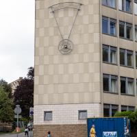
I've sometimes idly wondered what this thing on the side of Richmond Heights is. I'm told by KYP Bristol (who certainly know their local history) that it used to have the name of the building on it, but the letters fell off.
This means that somewhere out there, a student almost certainly has all the letters they need to make a large sign saying "CHERISH MID THONG"...
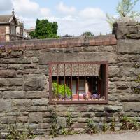
No idea why there's a window in this wall. The wall looks a lot older than everything surrounding it, so perhaps it's just some historical vestige leftover in between bits of University development.
We're just outside my mile radius here, but Osborne Villas Looked too tempting to just walk past.
Jacob's Well Wander
01 Feb 2021
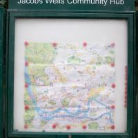
I just wanted to get some exercise, really, so I set out to knock off the lower bit of Jacobs Wells Road that I'd not managed to walk up yet. I set the new signboard that the community association had had erected as my destination, after reading about it on their blog.
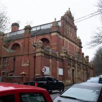
As it turned out, I couldn't even read it, as the building that houses the actual Jacob's Well had water flooding out onto the pavement. I wonder if it was actual Jacob's Well water? Have the soles of my walking shoes been mystically blessed now?
You can't see much of the flood in the photos I snapped, but I did shoot a little video, too. Ed on Twitter said:
I spoke to the seller at the time with a view to buying it - I mentioned an old friend who grew up nearby remembers it flooding regularly. He swore blind my friend was wrong.
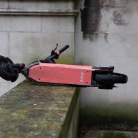
The first local electric bike shop was at the bottom of Jacobs Wells Road; it seems to have attracted some larger competition. I think this place was a sporting goods shop before, specialising in cricket equipment, if my memory isn't deceiving me. When the shutters are up, they've got a large range of electric bikes and scooters on display.
It's a bit higgledy-piggledy, this little stretch that leads to the car park by the Grain Barge mooring. The Thai restaurant at the end was a fusion restaurant called Michael's with an excellent reputation when I first moved to Hotwells. The Thai is great, from what I remember, but I don't eat out very often, not even locally.
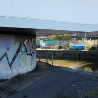
I'm guessing by local artist ©opy®ight, though I may be wrong, of course. Graff's not really my strong point.
This was quite hard to read in person and I only nipped out for a quick walk in my lunch hour, so I didn't have the time to spend checking it out.
Bower Ashton is an interesting little area just south of the river from me—in fact, the Rownham Ferry used to take people over from Hotwells to Bower Ashton, operating from at least the twelfth century to around the 1930s.
It's a strangely contradictory little area, with a cluster of old and new houses sandwiched in between the busy A-roads and significantly more industrial area of Ashton and the bucolic country estate of Ashton court roughly east to west, and also between Somerset and Bristol, north to south.
I've been around here before, mostly poking around Bower Ashton's arguably most well-known bit, the Arts faculty campus of the University of the West of England, but I'd missed at least Parklands Road and Blackmoors Lane, so I initially planned just to nip across briefly and wander down each in turn. On a whim, though, I texted my friends Sarah and Vik in case they were out and about, and ended up diverting to the Tobacco Factory Sunday market first, to grab a quick flat white with them, extending my journey a fair bit.
To start with, though, I nipped to a much more local destination, to see something that you can't actually see at all, the Gridiron...
(I also used this wander as a test of the cameras in my new phone. I finally upgraded after a few years, and the new one has extra, separate wide and telephoto lenses compared to the paltry single lens on my old phone. Gawd. I remember when speed-dial was the latest innovation in phones...)
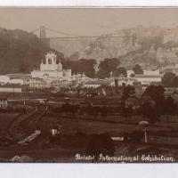
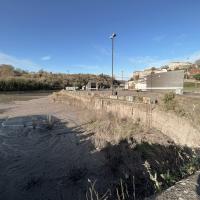
I thought this was such an impressive sight I should pop an archive photo up in the wander for you to see.
Postcard from the Vaughan Collection/Bristol Archives.
You can't actually see the Gridiron in this photo, but I believe it's still there, under that amazing buildup of silt.
The Gridiron—one of the few photos of it can be seen on the Maritime Mud and Miasma page of About Bristol—was a cheaper alternative to putting your boat in a dry dock. It was a 200-foot long grid (there seems to be some debate over whether the grid itself is actually metal, or in fact timber; I'll have to try to find out), 38 feet wide, nestled here between the north and south entrance locks. A ship captain could sail his vessel over here at high tide, then as the tide gradually receded, the ship—up to 250 feet, as overhanging a bit was apparently okay—would settle onto the gridiron.
At that point an inspection and repair crew could make their way down to the gridiron by ladder and do whatever work they could manage before the tide rose up again.
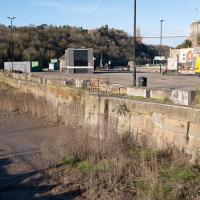
You can still see some ladders in place, I can only presume they were there to get you down to the gridiron, but that is just a guess; information on it seems quite hard to find.
Image from 1946 Aerial layer of KYP Bristol/English Heritage.
As you can see, it was pretty big, and clearly still in use in 1946...
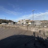
One last snap before we move on. I'm using the wide lens on the iPhone here, and have managed to include a silhouette selfie...
I decided to try out the three lenses on my new iPhone camera. This is the "telephoto" lens. It does a reasonably creditable job, though the phone is oversharpening things a bit and I'm not sure I like the colours much.
And here's the middling lens on the camera. Not bad, though on every shot I've taken on the iPhone so far where it's been able to see blue sky it's managed to oversaturate it for my tastes. Still, I guess they're aiming at the mass market, and the mass market does seem to like oversaturated colour and the sharpening turned up to eleven.
Not bad, and it's certainly better than not having a wide-angle lens in your pocket everywhere you go. I won't complain too much. "My iPhone oversaturates my photos. Also my wallet is too small for my fifties and my diamond shoes are pinching..."
I love the little details in this piece by Philth and N4T4. — see how it's signed by N4T4 in the hair on the left... It's on the corner of Clift House Road and the bit of Coronation Road that heads toward North Street and has replaced this previous piece.
A London Wander in Southville
10 Apr 2021
There's a bit of Southville that I've been meaning to get to for some time, where the streets seem to take some strong inspiration from London. There's a Camden Road that crosses with an Islington Road, and a Dalston Road, even an Edgeware Road. For me these names are more evocative than the rather more exotic names I passed by to get there—Sydney Row or Hanover Place, say, because I've actually been to the places in London. The last time I was in Islington I saw Monkey Swallows the Universe play at The Angel, and I can't think of Camden without remembering a gondola trip with my friend Tara where a cheery youth played Beatles music for us on a saz...
I really liked this little area, with its mostly well-kept pretty houses and hints here and there of the creative side of the residents. It's arty and down-to-earth at the same time, and I wouldn't mind living there, I think.
On the way there I got the chance to walk through Underfall Yard for the first time in a while, and on the way back I had my first take-away hot food for many months, grabbing some crispy fried squid from the excellent Woky Ko at Wapping Wharf.
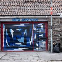
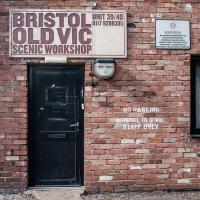
I've actually looked this place up with a view to getting a bumper repaired. Apparently he's very good.
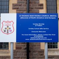
It's the Malankara Mar Thoma Syrian Church, often shortened to Mar Thoma Church:
Reformed Oriental church based in Kerala, India. While continuing many of the Syriac high church practices, the church is reformed in its theology and doctrines. It employs a reformed variant of the West Syriac Rite Divine Liturgy of Saint James, translated to Malayalam.[
It surprised me to find it on a random street in Bedminster, but I don't know much about religion, or Bristol's Syrian community, assuming that that might be the flock, in general?
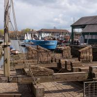
This is the first time I've been able to walk through Underfall Yard in months; it's been closed during the lockdown, and it's really reminded me how much nicer the route around the harbourside is when it's open. Cumberland Road is just dull.
Apparently the electric motor that still winches ships up out of the water on this "heave-up" slip (patented 1819 by Thomas Morton of Leith) dates from 1924, when it replaced the previous hydraulic system. I've never been there to watch a ship be hauled up, but it regularly deals with things as large as the Matthew.
The listing has this to say:
Patent slip and quay walls. Mid C19, restored 1888. Granite and Pennant rubble. 1 in 14 inclined slip with rails and timber cradle on wheels, drawn by an electric winch. Quay walls extend approx 50m along frontage of the Underfall Yard. HISTORICAL NOTE: Built on land reclaimed behind Jessop's 1809 Overfall Dam, originally part of the c1850 Nova Scotia Yard, purchased by the Docks Committee in 1880. Capable of raising a load of 250 tons. (Lord J and Southam J: The Floating Harbour: Bristol: 1983-: 65).
Canons Marsh Coffee Trip
29 Apr 2021
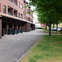
Another quick excursion to Canon's Marsh, tempted back by Rod & Ruby's cannoli and flat white. This time I poked around some bits of the modern flats I'd not really experienced before, mused on the old gasworks, and headed back down the Hotwell Road, spotting a re-opening gallery and finishing off at the Adam & Eve, for which some locals are currently rushing to launch a bid to turn it into a community business rather than have a developer turn it into yet-more flats.
I was in a bouncy, positive mood, helped out by Life Without Buildings' Live at the Annandale Hotel album1. Note to self, though: the album is nearly an hour long, so if you hear the encore starting and you're still halfway down the Hotwell Road, you'll probably be late back from lunch...
1 That review's well worth a read. Music journalists tend to go extra-dreamy when trying to describe Sue Tompkins. See what I mean:
She circles her limber tongue-twisters, feints, and attacks from unexpected angles, dicing and rearranging them with the superhuman brio of an anime ninja and a telegraphic sense of lexical rhythm.
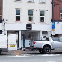
This (and I think the place next door, too) used to be the View Gallery; from the looks of the new sign it's becoming the View Gallery again. Good. Hotwell Road needs a bit of regeneration.
This is the stern of MV Balmoral, previously owned by P&A Campbell, the steamship operators, who I've mentioned once or twice before.
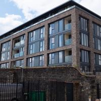
So new it doesn't seem to be on Google or Bing Maps yet, at least on the actual map bit, this is the one new build that stands alongside the two historic-building-conversion jobs (Purifier House and Engine House) at Brandon Yard, basically the site of the old gasworks.
They were one of the last sites to be regenerated, after some failed attempts to turn them into offices, including by the Soil Association. I don't know much about what they do in a gasworks, but I heard that the ground was highly polluted and needed a lot of remedial work before anything new could be put there.
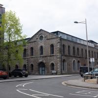
Another of the old gasworks buildings (or at least the shell of it.) The modern flat conversion stands on Lime Kiln Road—before this site was flats, it was a gasworks, before it was gasworks it was a timber yard, and before it was a timber yard, starting in the 17th century, it was a lime kiln glassworks, demolished 1838.
I suppose it's possible that purifier house was the reason for the ground pollution I heard about that made the site hard to redevelop, but I'm only guessing, based on the idea that if you remove the impurities from the gas at your gasworks, you probably end up with a whole lot impure stuff you've got to put somewhere...
